Champney Falls
Carroll County, New Hampshire
Your visit at a glance
- Waterfall height
- Not recorded
- Location
- Carroll County, New Hampshire
- Access status
- Route and parking researched
- The walk
- 1.4 miles to the waterfall branch
- Ground & access
- Moderate grades; slippery ledges near the falls.
Cross Twin Brook, turn right, then take the left waterfall branch at 1.4 miles for Champney and Pitcher Falls.
Plan your visit
Champney Falls Trail and waterfall branch
The conservancy gives 1.4 miles to the branch, followed by a 0.3-mile loop past both falls. This is not a complete return distance.
Moderate grades; slippery ledges near the falls.
Where to start
Use Champney Falls Parking Lot on Route 112, 10 miles west of Route 16. The sign reads Champney Brook Trail.
Timing & water
Current trail conditions and seasonal access are unverified.
Before you go
Current fees and reservation requirements are not stated.
Visitor informationVisit sources
More waterfalls nearby
Within 40 straight-line miles. Road and trail distances will differ.
- Pitcher FallsRoute and parking researchedCarroll County, NH0.1 miN
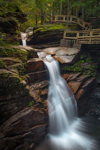 Sabbaday FallsSeasonal partial trail closureGrafton County, NH5.9 miW
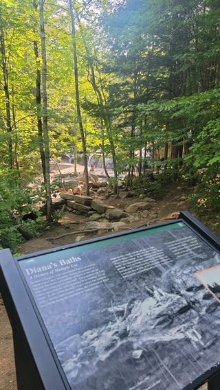 Diana's BathsResearched visit notesCarroll County, NH8.8 miNE
- Norway RapidsLocal trail network; distance not publishedGrafton County, NH10 miW
- Great FallsMarked trail through permitted private land into the national forest15 ft (4.6 m) · Carroll County, NH10 miSW
- Lower FallsCarroll County, NH10 miSW
- Fletcher CascadesNational forest trail into the Sandwich Range WildernessGrafton County, NH11 miW
- Lower Nancy CascadesForest Service trail to the base of a tall cascade82 ft (25 m) · Carroll County, NH11 miNW
- Middle Nancy CascadesPartial guide: national forest trail; which section is called Middle Nancy Cascades is not confirmed33 ft (10 m) · Carroll County, NH11 miNW