Upper Falls
Coos County, New Hampshire
Your visit at a glance
- Waterfall height
- Not recorded
- Location
- Coos County, New Hampshire
- Access status
- National forest roadside falls; dangerous potholes
- The walk
- A few steps from the road
- Ground & access
- Short walk from the road to rock ledges and a footbridge. Unmarked paths along the bank are rough. The potholes below the main plunge are dangerous: New England Waterfalls reports several drownings and accidents here.
Upper Ammonoosuc Falls, also called Upper Falls, is on the Ammonoosuc River beside Base Road in White Mountain National Forest. Its tallest drop is an 8-foot plunge into a rocky gorge with potholes and pools. Drive east on Base Road, the road to the Mount Washington Cog Railway, for 2.3 miles from US 302 and park at a widened shoulder. The falls are a few steps away. You can view them from several spots, including a footbridge over the river. A rough, unmarked path along the north bank gives more views. The route description dates from 2016.
Plan your visit
Widened shoulder on Base Road, 2.3 miles east of US 302, a few steps to Upper Ammonoosuc Falls and the footbridge over the river
1HappyHiker says the falls are just a few steps from the roadside parking. No walking distance is given.
Short walk from the road to rock ledges and a footbridge. Unmarked paths along the bank are rough. The potholes below the main plunge are dangerous: New England Waterfalls reports several drownings and accidents here.
Where to start
Widened shoulder on Base Road, 2.3 miles east of the junction with US 302. Published parking coordinates: 44.26643, -71.41634. There are no signs for the falls.
Timing & water
New England Waterfalls suggests May to October. It is almost never safe to swim in the potholes near the main plunge.
Before you go
New England Waterfalls lists the visit as free. The Forest Service has banned alcohol at this waterfall.
Visitor informationVisit sources
More waterfalls nearby
Within 40 straight-line miles. Road and trail distances will differ.
- Middle FallsPartial: short unsigned path with no official trailCoos County, NH0.2 miSW
- Gibbs FallsNational forest trail from a fee trailheadCoos County, NH3.1 miS
- Lower Ammonoosuc FallsShort walk on an old road to a swimming holeCoos County, NH3.3 miW
- Flume CascadeRoadside falls in Crawford Notch State ParkCarroll County, NH4.0 miS
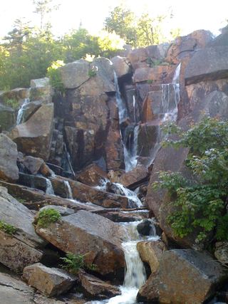 Zealand FallsRoute and parking documented; confirm current conditions.Grafton County, NH6.2 miSW
- Thoreau FallsNational forest wilderness trail from a fee trailhead80 ft (24.4 m) · Grafton County, NH7.3 miSW
- Ripley FallsShort maintained trail in Crawford Notch State ParkCarroll County, NH7.3 miS
- Chandler FallPartial guide: trail junctions and distance to the falls are not publishedCoos County, NH7.5 miNE
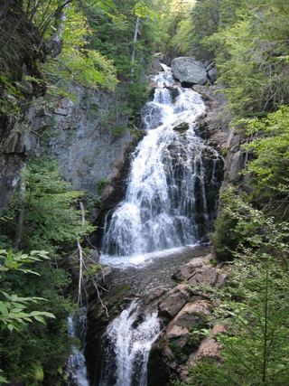 Crystal Cascades FallsNational forest trail to an overlook69 ft (21 m) · Coos County, NH7.9 miE