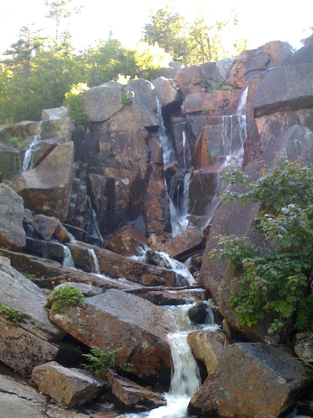
Compare 85 New Hampshire waterfall visits by the approach, terrain, and where to start. Some routes have closures or unresolved details; read the individual guide before travelling.
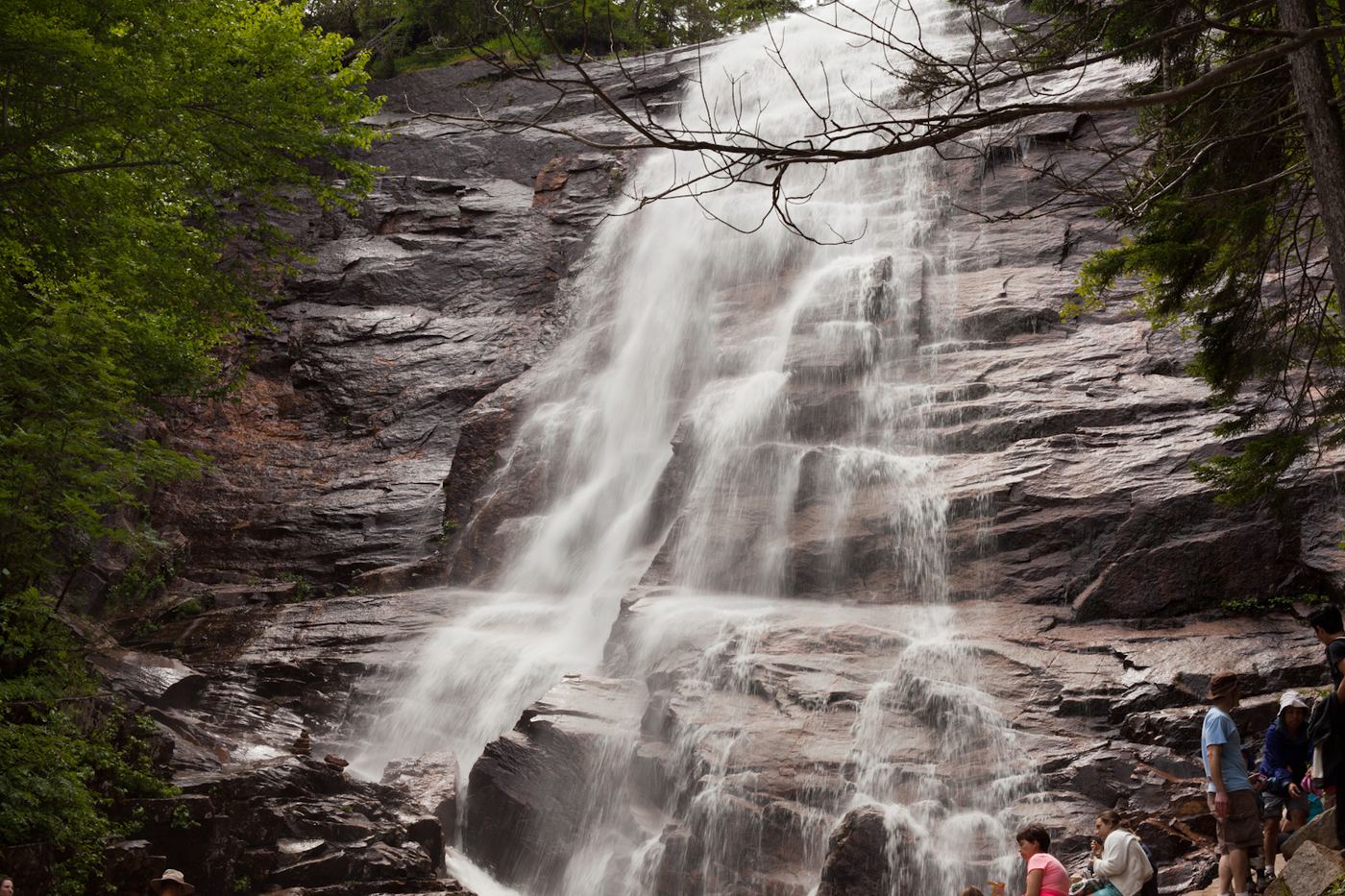
Arethusa Falls is a waterfall of about 160 feet on Bemis Brook in Crawford Notch State Park. From the parking area, walk up Arethusa Falls Road to the railroad tracks and turn left onto the Arethusa Falls Trail. At 0.3 miles keep right where the Bemis Brook Trail leaves to the left. Climb about another mile to the junction with the Arethusa-Ripley Falls Trail, then go left and down to the base of the falls.
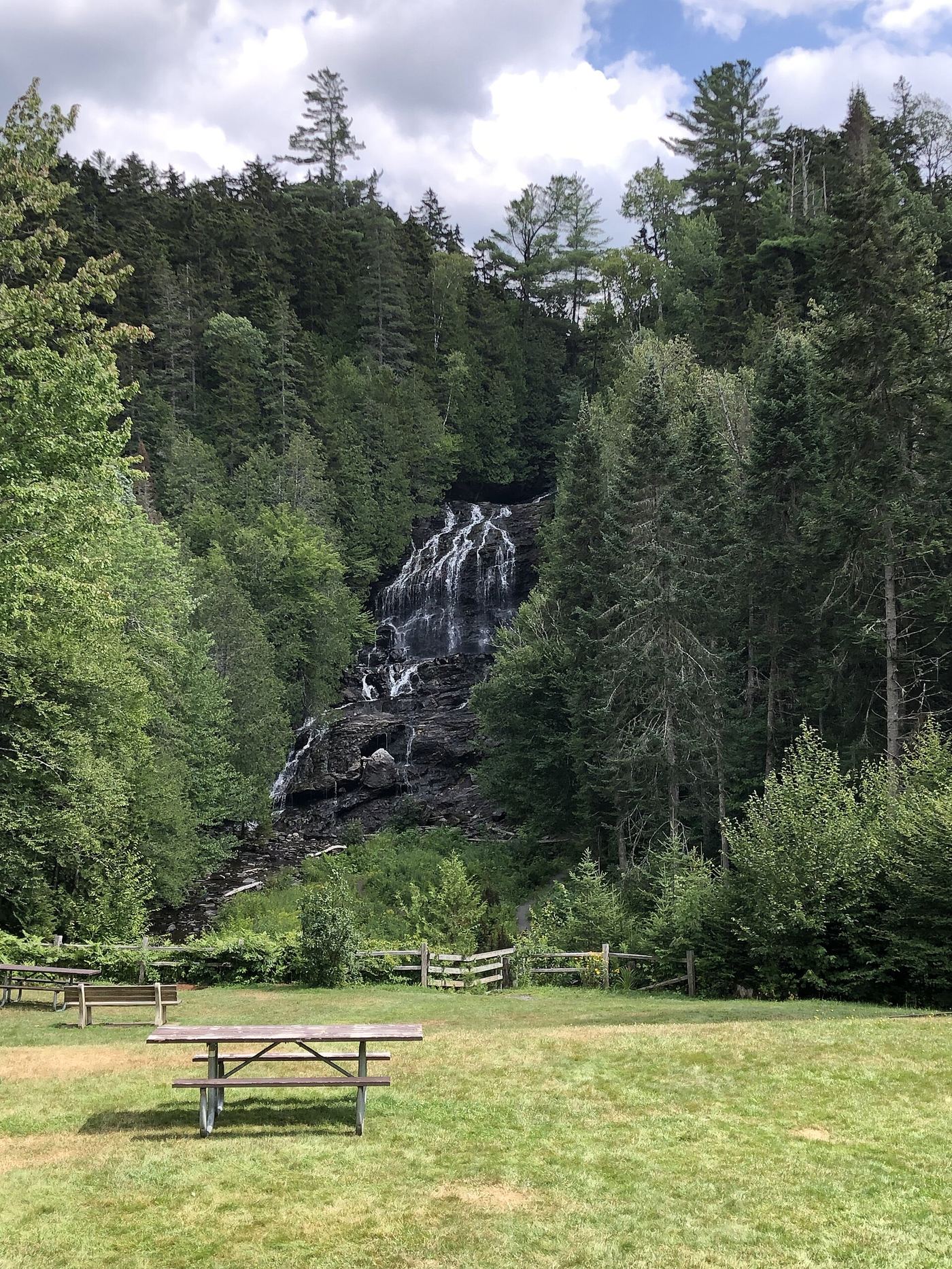
Beaver Brook Falls is an 80 foot horsetail waterfall at the Beaver Brook Falls State Wayside on NH 145 in Colebrook. The falls are seen from the road and the wayside parking area, which has covered picnic tables and pit toilets.
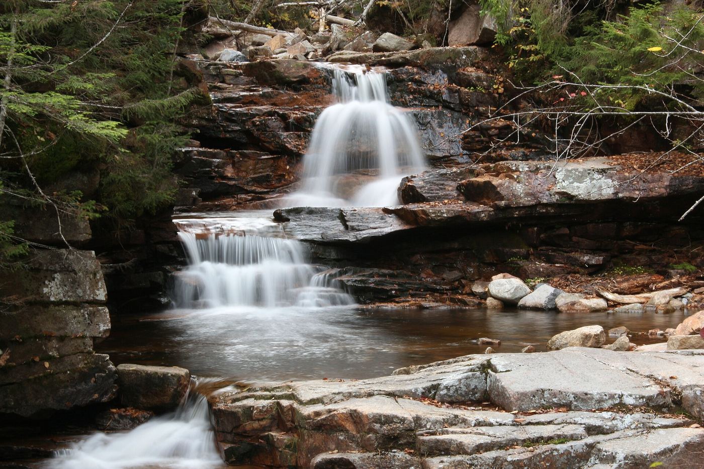
Bemis Falls most likely refers to Bemis Brook Falls, a set of small drops over orange and pink granite on Bemis Brook in Crawford Notch State Park. The name is not certain: New England Waterfalls says a state park sign labels Coliseum Falls, about 0.2 miles downstream, as Bemis Falls. Both are on the same trail. From the Arethusa Falls Trail, bear left onto the Bemis Brook Trail at 0.3 miles, pass Fawn Pool and Coliseum Falls, and continue to Bemis Brook Falls about 0.6 miles from the start.
Coliseum Falls is a small waterfall on Bemis Brook in Crawford Notch State Park, below Arethusa Falls. From the parking area, walk up Arethusa Falls Road to the railroad tracks and go left onto Arethusa Falls Trail. In 0.3 miles bear left onto Bemis Brook Trail. At about 0.4 miles, Fawn Pool is signed on the left, and Coliseum Falls is a short way upstream. A state park sign there may say Bemis Falls. Return the same way, or continue to Bemis Brook Falls, after which the trail climbs steeply back to Arethusa Falls Trail.
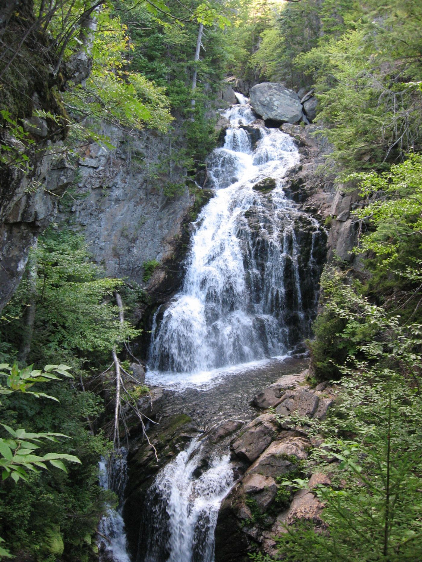
Crystal Cascade is a 100-foot waterfall in two drops on the Ellis River, beside the Tuckerman Ravine Trail in Pinkham Notch, White Mountain National Forest. Walk around the Pinkham Notch Visitor Center to the start of the Tuckerman Ravine Trail behind it. In about a quarter mile the trail crosses the Ellis River on a bridge. The trail then climbs, and a stone staircase on the right leads to an overlook facing the falls.
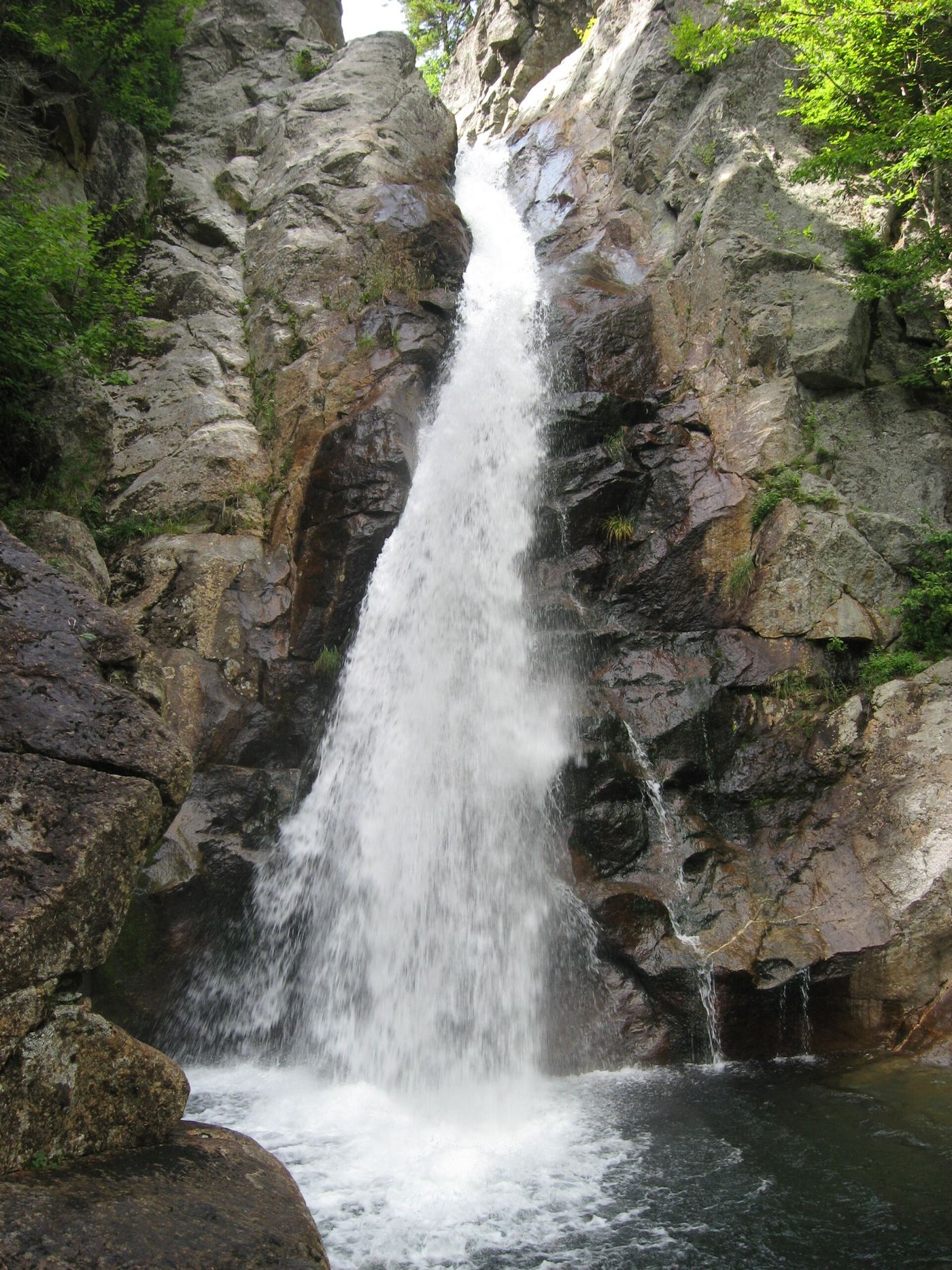
Glen Ellis Falls is a 64 to 66 foot waterfall on the Ellis River in White Mountain National Forest near Pinkham Notch. From the scenic area parking, follow the trail signs through the underpass beneath NH 16. On the east side of the road, turn right on the Glen Ellis Falls Trail. It passes cascades and built stone overlooks at the top, middle and bottom of the falls, then descends a series of wide stone steps to the base. Return the same way, climbing the steps.
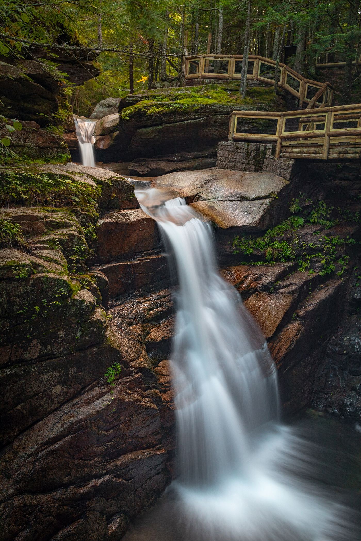
Avalanche Falls is the 45-foot waterfall at the top of the Flume, a narrow granite gorge in Franconia Notch State Park. It formed in a storm in 1883. The self-guided Flume Trail starts at the check-in booths in front of the Flume Building, crosses the Pemigewasset River on the covered bridge, follows Flume Brook past Table Rock and climbs the boardwalk through the gorge to a close view of Avalanche Falls. The loop continues on Ridge Path back to the Flume Building. It includes uphill walking and many stairs and takes about 1.5 hours.
Also called Dixville Flume or Flume Brook Cascade. From the roadside parking area in Dixville Notch State Park, walk less than 0.1 miles to the narrow gorge where Flume Brook drops about 18 feet over three steps. Smaller cascades and a pool are farther downstream.
From Mead Base, take the narrow Bearcamp River Trail west toward Beede Falls, passing the Cow Cave rock overhang. Return the same way rather than adding the lower-falls loop and river crossing.
Full loop over 5 miles; distance to this waterfall not published
Big Dog Falls, also called Smith Pond Brook Falls, is described by New England Waterfalls as a seasonal waterfall about 30 feet tall on Smith Pond Brook in Enfield. The Upper Valley Land Trust (UVLT) says its Smith Pond Shaker Forest has five miles of trails and two waterfalls, and that a full loop up to Smith Pond and back passes both. UVLT names Little Dog Falls but does not name or place Big Dog Falls on its map. Start from the Route 4A trailhead or from the Smith Pond Road trailhead and follow the light blue blazed trails toward Smith Pond. Where the trail passes this waterfall is not stated in the sources.
Brennan Falls is a 15 foot fanning horsetail on Brennan Brook in the Diane and John R. Schott Brennan Falls Reserve in Francestown, conservation land opened to the public in 2014. From the kiosk, follow the trail ahead, which is like an old dirt road. After 0.2 miles pass a marsh on the right; about 150 feet farther, take the left fork. About 0.2 miles below the marsh, turn right and cross a bridge over a stream, then follow the stream downstream to the falls. Return the same way, which is uphill.
Brickett Falls is a 60-foot series of short horsetails, slides and pools on Mill Brook in White Mountain National Forest. From NH 113, walk up the grassy lane to the Mt. Meader Trail. The first part is like a road walk. At about 1 mile, a spur path leads to the falls; side paths reach the pools.
Bridal Veil Falls is the sixth of the seven Brook Walk waterfalls, just above Falls of Song at the lower end of the walk. The Brook Walk in the Castle in the Clouds Conservation Area, owned by the Lakes Region Conservation Trust (LRCT), follows Shannon Brook past seven named waterfalls: Roaring Falls, Twin Falls, Whittier Falls, The Cascades, Emerald Pool Falls, Bridal Veil Falls and Falls of Song. Enter the conservation area by Ossipee Park Road off NH Route 171 in Moultonborough, drive to the top of the hill and park in the hiker lot next to the LRCT kiosk. Walk across the field to the Brook Walk kiosk. The Brook Walk starts at the upper bridge over Shannon Brook below Shannon Pond and descends 0.3 miles past the seven waterfalls, then crosses the lower bridge and climbs steeply 0.2 miles to the Shannon Brook Trail. Bridal Veil Falls is near the lower end of the 0.3-mile section, just above Falls of Song and the lower bridge. LRCT currently lists a closed section between the Turtleback Mountain Trail and the Brook Walk, and a closed section of the Shannon Brook Trail; the sources read do not show exactly where these are relative to the waterfalls. Follow posted signs.
Walk up unpaved Coppermine Road for 0.4 miles past private cabins, then turn left onto the yellow-blazed trail into the woods. At about 1 mile the trail meets Coppermine Brook and follows it. At 2.2 miles cross the brook on a wooden footbridge; 0.2 miles farther is Coppermine Shelter and the base of Bridal Veil Falls. The best view needs a crossing of the bottom pool and a climb onto granite shelves. Return the same way.
Chandler Fall is on Spur Brook on the north slopes of Mount Adams in White Mountain National Forest. New England Waterfalls says the falls are visible from a short spur path off the Spur Trail. A trip report parked at Appalachia and used the Link, Amphibrach, Cliffway and Spur Trail, with views to the north from the top of the falls. Exact junctions and distances are not described, so carry a current White Mountains trail map.
Chandler Gorge is a small flume and series of cascades and pools on Chandler Brook at the foot of the Baldfaces, in the White Mountain National Forest in Chatham. Cross NH 113 with care from the Baldface Trailhead and take the Baldface Circle Trail. At 0.7 miles you reach Circle Junction, where a short side trail goes to Emerald Pool. Take the south branch of the Baldface Circle Trail, which climbs to an old logging road. A side loop to Chandler Gorge leaves from it at a Chatham Trails Association sign. The loop descends into a hardwood ravine to open ledge slabs on Chandler Brook, then climbs past a flume. A short spur to the left leads to a Chandler Gorge sign and a ledge looking down at cascades and pools. Just before that sign the loop turns sharply right; a false path continues up the ravine. The loop rejoins the Baldface Circle Trail higher up. The route description dates from 2012.
Falling Waters Trail climbs beside Dry Brook past Stairs Falls and Swiftwater Falls to 80-foot Cloudland Falls. As of September 22, 2026, NH State Parks lists significant route changes on this trail at Cloudland Falls. The relocation map shows closed sections of the old trail along Dry Brook and a new alignment that rejoins the trail at Cloudland Falls. Follow the new alignment and posted signs. Do not use closed sections.
Coosauk Fall is a 15-foot set of cascades and slides into the Devil's Kitchen gorge on Bumpus Brook in Randolph, in White Mountain National Forest. Follow the combined Howker Ridge Trail and Randolph Path through a field. After about 0.1 miles go left on the Howker Ridge Trail and cross an old logging road. After about 20 minutes you pass Stairs Fall across the brook; Coosauk Fall is about 0.1 miles further, marked by a small white sign.
Roadside view; a 100-foot path from the parking area is on private land
The 12-foot cascades on Phillips Brook are visible upstream from the parking area beside the Dewey Hill Road bridge. Both sides of the brook are private property. The west side has historically allowed public access, but the land changed owners, so current permission to use the short path is not confirmed. View from the roadside if access is posted or unclear.
Elizabeth Falls is a seasonal waterfall on Bailey Brook on the east side of Mount Cardigan. New England Waterfalls says the falls are above where the Holt Trail crosses Bailey Brook. After crossing the stream you reach the Grand Junction trail junction; the falls are down the embankment from there and may be visible from the trail. No bushwhack is needed, only a scramble down a steep bank.
Emerald Pool Falls is the fifth of the seven Brook Walk waterfalls, in the lower half of the walk. The Brook Walk in the Castle in the Clouds Conservation Area, owned by the Lakes Region Conservation Trust (LRCT), follows Shannon Brook past seven named waterfalls: Roaring Falls, Twin Falls, Whittier Falls, The Cascades, Emerald Pool Falls, Bridal Veil Falls and Falls of Song. Enter the conservation area by Ossipee Park Road off NH Route 171 in Moultonborough, drive to the top of the hill and park in the hiker lot next to the LRCT kiosk. Walk across the field to the Brook Walk kiosk. The Brook Walk starts at the upper bridge over Shannon Brook below Shannon Pond and descends 0.3 miles past the seven waterfalls, then crosses the lower bridge and climbs steeply 0.2 miles to the Shannon Brook Trail. Emerald Pool Falls is in the lower part of the 0.3-mile section, above Bridal Veil Falls and Falls of Song. LRCT currently lists a closed section between the Turtleback Mountain Trail and the Brook Walk, and a closed section of the Shannon Brook Trail; the sources read do not show exactly where these are relative to the waterfalls. Follow posted signs.
0.1 miles each way from the auto road; up to about 0.8 miles each way on the Brook Walk
The Falls of Song is a 40 foot plunge on Shannon Brook in the Castle in the Clouds Conservation Area, where the Lakes Region Conservation Trust maintains the trails. When the Castle auto road is open, a 0.1 mile path and boardwalk lead from the road to the falls. Otherwise, park at the hiker parking at the top of Ossipee Park Road, cross the fields toward Shannon Pond and follow the trail down Shannon Brook. The Brook Walk passes Roaring Falls, Twin Falls, Whittier Falls, Bridal Veil Falls and other named falls before the Falls of Song.
Fawn Pool is a long, low-angle slide into a pool on Bemis Brook in Crawford Notch State Park. From the parking area walk up Arethusa Falls Road to the railroad tracks and turn left onto the Arethusa Falls Trail. At 0.3 miles bear left onto the Bemis Brook Trail. At 0.4 miles look for the signed Fawn Pool on the left. Coliseum Falls is a short way further upstream.
Fletchers Cascade is a series of chutes and ledges on Bowlder Brook in the Sandwich Range Wilderness, White Mountain National Forest. From the Sandwich Mountain and Drakes Brook parking lot, go left and around the gate. Follow the Drakes Brook cross-country ski trail for about 0.4 miles. Shortly after the Drakes Brook hiking trail splits right, turn onto the Fletchers Cascade Trail. It climbs gently along Bowlder Brook into the wilderness, crosses a stream, climbs a stone staircase and then goes steeply beside the brook. At a tall rock face the trail turns sharply left to the cascade. Do not climb across or above the cascade.
Garfield Falls is a 35 to 40 foot plunge into a gorge on the East Branch of the Dead Diamond River in the Connecticut Lakes region. From US 3 north of Pittsburg village, turn right on Magalloway Road. After 9.6 miles take a sharp right to stay on Magalloway Road, then after 1 mile go straight onto Garfield Falls Road. The trailhead, with toilets and a state kiosk, is 1.3 miles farther. The trail starts fairly flat, then descends beside the falls on roots and log steps to the base and a view of the gorge. Return the same way.
Georgiana Falls is a 30-foot set of cascades into a deep pool on Harvard Brook in the Second Presidential State Forest. From the parking area, follow the snowmobile path under the northbound lanes of I-93, bear right at the fork where a small sign points to Georgiana Falls, pass under the southbound lanes, and follow the blazed path that leaves the old road to the left. Harvard Falls, sometimes called Upper Georgiana Falls, is about half a mile further on a steep path.
Gibbs Falls is a 35-foot cascade on Gibbs Brook just off the Crawford Path in Crawford Notch, White Mountain National Forest. On US 302 across from the AMC Highland Center, turn in at the large Crawford Path sign and go left into the large parking lot. From the far right side of the lot, the Crawford Connector crosses the road to the Crawford Path. Follow the Crawford Path uphill along Gibbs Brook; it gains over 300 feet. A short side path at a sign leads to the falls and a footbridge.
The falls are low-angle cascades directly downstream of the stone arch bridge on Beard Street. The land is private, but New England Waterfalls says the public is currently welcome. Walk downstream along the edge of the brook for different views.
The Gonic Trails waterfall is on the Isinglass River in Rochester, on Waste Management land with public trails maintained by Waste Management's TREE program. From the gravel lot, take the yellow trail, which starts at the far right when facing the lot from the road. It runs through hemlock forest to the river, then curves left down a moderately rocky stretch past a stone wall to a low area by the falls.
Gordon Fall is a 12 to 15-foot fanning waterfall on Snyder Brook, the first of several waterfalls reached from the Appalachia Trailhead in Randolph, White Mountain National Forest. From the kiosk, go a few feet and turn left on the Presidential Rail Trail. After about 0.1 miles, turn right on the yellow-blazed Fallsway Trail, which follows Snyder Brook upstream. At 0.3 miles Gordon Fall is just off the trail to the left, about 150 feet downstream of where the Maple Walk meets the brook. The trails here are many and close together, so carry a map.
About 3.2 miles one way to Gordon Pond, plus a short descent to the falls
Gordon Pond Trail passes Gordon Falls just below Gordon Pond. The lower Gordon Pond trailhead off NH 112 near Woodstock is at the end of Mountain Side Road, but parking there has been blocked and cars are towed. A route that avoids it is the Kinsman Ridge Trail from the Beaver Brook trailhead at Kinsman Notch to Gordon Pond, then a short way down Gordon Pond Trail to the falls.
Great Falls is a 12-foot main falls with an 8-foot lower falls on Pond Brook in White Mountain National Forest. The first half mile follows the gravel road through the privately owned Swift River Tree Farm, whose owners allow hikers through. Turn right onto the Bennett Street Trail, which enters the national forest and runs near Pond Brook. After the Gleason Trail junction you reach a cascade and pool; Great Falls is 0.3 miles further up a rough section along the stream bank.
Hermit Falls is a 30-foot seasonal horsetail waterfall in a mossy ravine on a tributary above Basin Pond, White Mountain National Forest. From the parking area by Basin Pond, take the Basin Trail. It follows the south shore of the pond, crosses two brooks on the flat floor of the Basin and then climbs, more steeply as it nears the first junction, on the left, with the Hermit Falls Loop. The loop is a 0.2-mile detour to the falls; past the falls it climbs steeply to rejoin the Basin Trail about 200 feet above the lower junction. Return down the Basin Trail.
Follow the combined Howker Ridge Trail and Randolph Path through a field into the forest. At about 0.1 miles, go left on Howker Ridge Trail and cross an old logging road. Pass Stairs Fall across the brook and Coosauk Fall at about 0.7 miles. Just past Coosauk Fall fork left on Howker Ridge Trail, and about 0.1 miles farther fork left again where the Kelton Trail goes right. Hitchcock Fall is a few minutes ahead. Return the same way.
Huntington Cascades are two horsetail falls, about 18 and 50 feet high, on Cascade Brook in Dixville Notch State Park. The trail starts at the wayside parking area with picnic tables and a toilet, crosses Cascade Brook on a wooden bridge, and climbs gently 0.2 miles to the falls. The Three Brothers Trail continues beyond toward Table Rock.
Jackson Falls is a run of cascades, slides and small plunges about 100 feet in total on Wildcat Brook, beside Carter Notch Road in Jackson village. It is town-owned land, free to visit and a popular swimming spot. From NH 16, take 16A over the Jackson covered bridge into the village and follow Carter Notch Road a short way uphill; the upper falls run beside the road. The lower falls, with larger drops and stronger current, are reached by a path that starts across from The Wentworth.
Walking distance to a view of the falls not published
Kimballs Falls is a river-wide drop of 12 to 15 feet on the Cocheco River. From the Watson Road parking lot, the Dover Community Trail follows an old rail bed southeast with the river on your right. A paddler reports scouting the falls from this trail. The exact viewing spot is not described.
Kinsman Falls is a narrow 15 foot plunge into a pool on Cascade Brook, in Franconia Notch State Park and White Mountain National Forest. From The Basin, follow the Basin-Cascades Trail up along Cascade Brook, past many potholes, ledges and unnamed cascades, for about half a mile. A rough path goes left off the trail to the base of the falls. Return the same way. Rocky Glen Falls is a short way farther up the trail; no bridges cross the brook.
Kinsman Flume is a narrow gorge on Flume Brook on the west slope of North Kinsman. From the trailhead, follow the blue-blazed Mount Kinsman Trail. At 0.5 miles turn right on a wide old road, pass an old sugar house, bear right at the next junction, and cross several streams. The third stream is Flume Brook; just after crossing it a small sign points right to a side path that goes steeply down along the gorge to views from the brink.
About 1.3 miles to the pond from Smith Pond Road; exact distance to the falls not published
Little Dog Falls is one of two waterfalls in the Upper Valley Land Trust (UVLT) Smith Pond Shaker Forest in Enfield, with a footbridge at the falls. UVLT says the trails pass Smith Pond, Shaker-era dams and canals, and two waterfalls. From the Smith Pond Road parking, the trail is about 1.3 miles of fairly flat walking to the pond; from Route 4A the trail climbs about 2.5 miles. A full loop up to the pond and back passes both waterfalls. Trails are blazed light blue. The sources do not say exactly where on the trail the falls are.
About 1 mile return on the falls trail, plus 0.2 miles each way on the snowmobile road
Park at the snowmobile trail junction and walk down Skillings Gore Road (snowmobile trail) on the left. Cross the bridge over Rowell Brook and walk 0.2 miles to the trailhead on the left, just before the bridge over Hellgate Brook. The built trail has log stairs and benches and a picnic table overlooking the 40-foot falls. The section into the falls is very steep.
Livermore Falls is a 25 foot set of powerful cascades through a gorge on the Pemigewasset River. Livermore Falls State Forest has a public beach and picnic area below the falls. From I-93 Exit 25, take NH 175A east 0.2 miles to NH 175, turn left and go 1.8 miles north, then turn left on Livermore Road and, in 200 feet, left into the state forest parking. The graded trail drops steeply, then flattens on the floodplain and reaches the beach after 0.1 miles. Stay out of the strong currents near the falls. Another approach from US 3 crosses railroad tracks and is not part of this guide.
Lower Ammonoosuc Falls are low-angle cascades on the Ammonoosuc River in White Mountain National Forest, with a large pool popular for swimming. Park at the end of Lower Falls Road and continue 0.25 miles on foot up the road, which was once the route of US 302. The falls appear on the left.
About a quarter mile to Beede Falls, then a short way to the lower falls
This listing is probably the lower falls of Beede Falls in Sandwich Notch Park. From the Sandwich Notch Road trailhead, walk the quarter-mile trail to Beede Falls. A makeshift trail south of the main falls leads to the lower falls, a 20-foot slide over broad ledges. A loop back to the parking lot from below the lower falls needs a river crossing that can be difficult.
The lower Nancy Cascades is a 45-foot fanning horsetail into a pool on Nancy Brook in White Mountain National Forest. The Nancy Pond Trail follows old logging roads for most of the first 1.9 miles, crosses Nancy Brook at about 1.6 miles and again later, then reaches the base of the cascades. Only the lower drop is visible from the base. Above it the trail climbs steeply beside more of the cascades.
About 2.5 miles each way from Purgatory Road; shorter from Dow Road
Middle Falls is a 25-foot funnel in a narrow gorge on Purgatory Brook, between Lower and Upper Purgatory Falls, on conserved land in Mont Vernon and Lyndeborough. Brook Trail: from the small trailhead lot on Purgatory Road, the trail passes Lower Purgatory Falls and follows the brook north, staying close to the water, with little climbing, to Middle Falls; the Upper Falls are a short distance beyond. Avoid an unmarked side path by staying near the brook. Old Dow Road route: from the large lot at the end of paved Dow Road, follow the old rocky road down to the brook for Middle and Upper Falls; the start is not signed, so carry a map.
Also called Middle Ammonoosuc Falls. Enter the woods on the obvious path in front of the parking area. After about 50 feet take a rough path right toward the river, then walk upstream along the bank with no defined trail. The lower pool appears after about 50 feet; continue upstream to the small falls and pools.
About 2.4 to 2.5 miles each way to the lower falls, plus a short climb beside the upper falls
Nancy Cascades is a series of falls and cascades on Nancy Brook, with an estimated total drop of about 300 feet, in White Mountain National Forest. From the small trailhead on the west side of US 302, follow Nancy Pond Trail, which climbs steadily, to the 45 foot lower falls. The trail then climbs beside a further 80 feet of falls directly above the lower falls; the rest of the cascades need a bushwhack. Published guides do not say which section is called Middle Nancy Cascades. This listing is just above the lower falls, where the trail passes the 80 foot section. Return the same way.
Norway Rapids is a run of cascades and pools on a brook in Waterville Valley, reached by the short Norway Rapids Trail maintained by the Waterville Valley Athletic and Improvement Association (WVAIA). Start at the Snow's Mountain parking lot, in the north end away from the chairlift, and take the signed Cascade Path across Cascade Ridge Road. Follow it up through the development and an old ski trail, past the Elephant Rock Trail, down to a footbridge and the Lower Snow's Mountain cross-country ski trail. Walk up the ski trail to the Forest Service bridge over Cascade Brook, cross it, and follow the ski trail a short distance to the Norway Rapids Trail on the left. It wanders through hardwood forest with good footing and little climbing to the rapids. The trail continues across the brook to Livermore Road, but that crossing is usually difficult in high water.
Short walk from roadside parking; the park trail is 0.4 miles
Packers Falls is a set of rapids on the Wild and Scenic Lamprey River in a small Town of Durham park on both sides of the river, below the Packers Falls Road bridge. The bridge gives pedestrian access to both banks. The spot is popular for fishing and swimming.
Paradise Falls is the main waterfall in Lost River Gorge and Boulder Caves, a privately run attraction in Kinsman Notch on NH 112, about 7 miles west of Lincoln. Visitors buy a timed ticket and walk the boardwalk loop through the gorge, which also passes boulder caves. Paradise Falls is near the middle of the loop, with head-on and overhead views from the boardwalk. Viewing is from the boardwalk only. Pets are not allowed except service dogs.
Roadside view; short walk to the pool. No measured distance.
Pollards Mills Falls is an 18 foot set of cascades into a large swimming pool on the South Branch of the Sugar River in Newport, at the site of three historic mills. The land is private. New England Waterfalls reported that the owner encourages respectful visitors, and a komoot tip says the owner maintains the site and keeps it open to the public. There are gardens, picnic tables and a small nature trail. Respect the owner's posted requests; access depends on visitors' behavior.
Pond Brook Falls is a chain of cascades over broad granite slabs on Pond Brook in Nash Stream Forest, with a total drop of about 100 feet. The short, wide trail follows the north side of the brook past the cascades. Paths lead to the top of the falls, which has views across the Nash Stream valley.
Profile Falls is a wide fan-shaped waterfall at least 30 feet high on the Smith River near its meeting with the Pemigewasset River, on Franklin Falls Dam flood control land managed by the US Army Corps of Engineers. Driving south from Bristol center on NH 3A, turn left onto Profile Falls Road just after the bridge over the Smith River. The visitor account describes No Parking signs right after the turn and cars parked along the road edge a little farther on, near a gated road with a Profile Falls sign. Walk down the closed road to the trailhead sign; if you reach the bridge over the river you have gone too far. Follow the path toward the river; it gets rougher near the water. Step on rocks to reach the base. A picnic pavilion is near the closed parking area.
Lower Purgatory Falls is a broad 12 to 30 foot cascade on Purgatory Brook on the Mont Vernon and Lyndeborough line, on land conserved with the Souhegan Valley Land Trust. From the junction of NH 101 and NH 101A in Lyndeborough, take North River Road for just under a mile and continue onto Purgatory Road; the lot is on the left after about half a mile. Start at the far right of the lot on Purgatory Brook Trail and follow it close to the brook to the falls. Return the same way, or continue upstream to Middle and Upper Purgatory Falls.
Ripley Falls is a 100-foot slide over a steep rock wall on Avalanche Brook in Crawford Notch State Park. From the trailhead parking on Willey House Station Road, follow the Ethan Pond Trail across the railroad tracks and turn onto the Arethusa-Ripley Falls Trail, which climbs steadily about 0.5 miles to the falls.
Roaring Falls is the first of the seven Brook Walk waterfalls, at the upper end of the walk near the upper bridge. The Brook Walk in the Castle in the Clouds Conservation Area, owned by the Lakes Region Conservation Trust (LRCT), follows Shannon Brook past seven named waterfalls: Roaring Falls, Twin Falls, Whittier Falls, The Cascades, Emerald Pool Falls, Bridal Veil Falls and Falls of Song. Enter the conservation area by Ossipee Park Road off NH Route 171 in Moultonborough, drive to the top of the hill and park in the hiker lot next to the LRCT kiosk. Walk across the field to the Brook Walk kiosk. The Brook Walk starts at the upper bridge over Shannon Brook below Shannon Pond and descends 0.3 miles past the seven waterfalls, then crosses the lower bridge and climbs steeply 0.2 miles to the Shannon Brook Trail. Roaring Falls is at the start of the 0.3-mile section, near the upper bridge below Shannon Pond. LRCT currently lists a closed section between the Turtleback Mountain Trail and the Brook Walk, and a closed section of the Shannon Brook Trail; the sources read do not show exactly where these are relative to the waterfalls. Follow posted signs.
About 1.3 miles on the Brookside from Valley Way, plus the Valley Way section
From the Appalachia trailhead, take Valley Way to the Brookside and follow the Brookside up Snyder Brook to Salmacis Fall. The Randolph Mountain Club describes loops that pass Salmacis Fall on the Brookside and return by Valley Way to Appalachia.
Salroc Falls is a two-part waterfall on Snyder Brook in White Mountain National Forest: a 7 foot lower drop among boulders and a 12 foot fan about 100 feet upstream. From the kiosk at the Appalachia Trailhead, go a few feet and turn left on the Presidential Rail Trail. After about 0.1 miles turn right on the yellow-blazed Fallsway Trail beside Snyder Brook. Pass Gordon Falls at 0.3 miles and the Maple Walk junction, and reach Lower Salroc Falls at about 0.6 miles. Continue about 100 feet on the trail and scramble down to the brook at Upper Salroc Falls. Return the same way; the trail network is confusing, so a map helps.
Sculptured Rocks is a narrow bedrock canyon with potholes and small cascades on the Cockermouth River in a state natural area. The trail starts at the parking area and crosses the road; the bridge over the river is shortly after. The bridge gives views of the gorge. A rougher trail continues past a historic cellar hole.
Cross Scataquog Brook on the trail bridge and take the loop clockwise up along Cold Brook to the cascades of Senter Falls in a small gorge. At the top of the falls, take the return trail that heads briefly uphill, turns a corner and descends on wooden steps to the trailhead.
From the kiosk, go a few feet and turn left on the Presidential Rail-Trail, then right after about 0.1 miles on the yellow-blazed Fallsway along Snyder Brook. Pass Gordon Fall at 0.3 miles and the Salroc Falls at about 0.6 miles. Just past Upper Salroc Fall the trail meets Valley Way; turn up Valley Way and immediately onto the spur to Tama Fall. Paths lead down the bank for the best view. Return the same way or by the Brookbank.
Probably under half a mile each way; measured distance not given
This listing is a cascade on Shannon Brook between Twin Falls and the Falls of Song, along the Brook Walk in the Castle in the Clouds Conservation Area. Published guides name Roaring Falls, Twin Falls, Whittier Falls, Harriets Cascades, Emerald Pool Falls and Bridal Veil Falls along the walk, but none uses the name The Cascades, so the exact named feature is not confirmed. Park at the hiker parking at the top of Ossipee Park Road, cross the fields toward Shannon Pond and follow the trail down Shannon Brook past Roaring Falls and Twin Falls. Continue downstream on the Brook Walk. Return the same way.
Part of a 2.9 to 4.4-mile loop; distance to the falls alone not published
The Falls is a small, intermittent waterfall in the Beaver Brook Association conservation land in Hollis. Trailspotting describes a loop on the Pond Loop, Hidden Ponds and Rocky Ridge trails, with the Hatfield Trail leading toward the waterfall. Gaia GPS lists a loop from the Hollis Conservation Commission parking via the Tupelo Trail that passes The Falls and an overlook. The exact junction for the falls is not described, so carry the association's trail map and follow the blazes.
Thoreau Falls is an 80-foot run of cascades and slides on the North Fork of the East Branch of the Pemigewasset River, in the Pemigewasset Wilderness of the White Mountain National Forest. From US 302 west of Bretton Woods, turn onto Zealand Road and drive to the Zealand Trailhead at its end. Take the Zealand Trail past Zealand Pond, then the Ethan Pond Trail east through Zealand Notch, then the short Thoreau Falls Trail to the falls. The trail reaches the top of the falls. In low water you can scramble beside the falls to pools above and below; in high water stay on the trail.
Triple Falls is three falls on Town Line Brook: Proteus, Erebus and Evans. From the parking area just west of the bridge, follow Town Line Brook Trail upstream on the left side of the brook. The trail is steep and runs along the edge of the gorge with drops of about 20 feet. A rougher unmarked path starting about 25 feet east of the signed trail stays farther from the edge.
Twin Falls is a 20 foot set of four shallow cascading ledges on Shannon Brook, the second of seven named waterfalls along the brook in the Castle in the Clouds Conservation Area. Drive up Ossipee Park Road to the large parking areas by the grass fields. Cross the fields toward Shannon Pond, pick up the Shannon Brook trail and hike downstream. Twin Falls is a few hundred feet below Roaring Falls. Return the same way, or continue down the Brook Walk toward the Falls of Song.
About 2.6 miles return by Old Dow Road, or about 5.1 miles return by the Brook Trail
Upper Falls here is Upper Purgatory Falls, a two-tier cascade through a narrow gorge on Purgatory Brook in the Purgatory Falls conservation lands on the Mont Vernon and Lyndeborough line. The Old Dow Road route starts at the large lot at the end of paved Dow Road and follows the old rocky road down to the brook, reaching Middle Falls and then Upper Falls. The unsigned start may need a map. The Brook Trail from Purgatory Road passes Lower and Middle Falls on the way.
Upper Ammonoosuc Falls, also called Upper Falls, is on the Ammonoosuc River beside Base Road in White Mountain National Forest. Its tallest drop is an 8-foot plunge into a rocky gorge with potholes and pools. Drive east on Base Road, the road to the Mount Washington Cog Railway, for 2.3 miles from US 302 and park at a widened shoulder. The falls are a few steps away. You can view them from several spots, including a footbridge over the river. A rough, unmarked path along the north bank gives more views. The route description dates from 2016.
About 2.4 to 2.5 miles one way to the base of the cascades, then a further steep climb beside the upper levels
Follow Nancy Pond Trail from the small parking area on US 302, which crosses Nancy Brook two times, to the base of Nancy Cascades. Only the lower drop is visible there. The trail then climbs steeply beside the cascades on switchbacks; after the first switchback it gives a view of the next level. New England Waterfalls says the trail shows about 80 more feet of falls directly above the lower falls, and a bushwhack is needed to see the rest. This listing is named Upper Nancy Cascades; which upper level it marks is not confirmed. Return the same way.
About 1/8 mile from the canoe access to the bridge, along Route 152
Wadleigh Falls (also spelled Wadley Falls) is a natural falls with a partly breached dam on the Lamprey River where Route 152 crosses it in Lee. The Lamprey River Advisory Committee says the site has no formal trails or public parking. Its river guide places a public canoe access with a small parking area and history kiosk 1/8 mile west of the bridge on Route 152. The bridge is on a sharp curve without a sidewalk, and traffic can be heavy. The land around the dam is privately owned and the public is asked not to trespass, so view the falls only from public ground. A small dirt pull-off is also located on Tuttle Road.
About 1 mile on the Carr Mountain Trail to the spur, then a short spur walk to the falls
Waternomee Falls is a small waterfall on a branch of Clifford Brook on the west side of Carr Mountain in Warren. The Carr Mountain Trail starts as a road walk from a small parking area on Clifford Brook Road. About a mile up, a signed spur trail leaves for the falls. The spur crosses a stream with a cascade partway along; that cascade is not Waternomee Falls. Continue about 0.1 mile beyond the crossing to the falls. Return the same way. The route description dates from 2016.
Welton Falls is a 30-foot drop on the Fowler River in Welton Falls State Forest, Alexandria. The lower half is a 15-foot plunge surrounded by cliff walls. From the AMC Cardigan Lodge parking lot, take the Lower Manning Trail, which starts opposite the portable toilet. It passes through campsites, follows a brook and descends, with one significant stream crossing, to a sign for Welton Falls. A side path on the left leads to a fenced ledge above the falls. The main trail continues along a big drop-off to a viewpoint in front of the falls. Return the same way. The Weirs Times also describes a short walk of about a quarter mile up the Lower Manning Trail from the end of Welton Falls Road; parking at that end is unknown.
Shannon Brook Trail 1.4 miles to the Shannon Pond Kiosk area; the Brook Walk itself is 0.5 miles
Cross Route 171 from the Lower Trailhead Kiosk parking and follow the wide Shannon Brook Trail uphill beside Shannon Brook. The Brook Walk leaves Shannon Brook Trail near a snowmobile bridge and passes seven signed waterfalls between a lower bridge and an upper bridge below Shannon Pond. A 2024 trip report numbers Whittier Falls as fall 3 of 7, counting down from the upper bridge, with Fall of Song (number 7) at the lower end. Return the same way, or make a loop on the estate trails.
Wildcat Falls is a series of stepped rapids on the Souhegan River in the Wildcat Conservation Area, a Merrimack town conservation property. A Trailspotting visitor account describes a short, easy out-and-back trail that leads directly to the falls from the main parking lot, and the longer Falls Loop, best walked clockwise. The main viewing spot is a rocky ledge that reaches into the cascade. Swimming is not restricted, but it is described as dangerous and not encouraged. The route description dates from 2025.