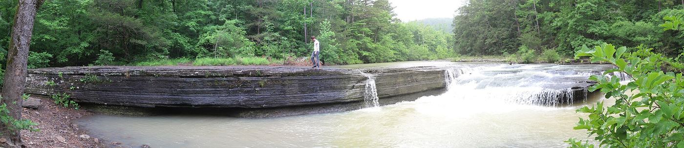
Waterfalls near Clarksville, AR
91 named waterfalls within 30 miles of Clarksville, closest first. Distances are straight-line from the town center.
Visits with route details
Read the walking route, starting point and current access notes.
- Horsehead Creek FallsHistorical route; current parking unconfirmed35 ft (10.7 m) · Johnson County, AR
- Highway 123 FallsResearched walking route47 ft (14.3 m) · Johnson County, AR
- Bear Skull FallsResearched visit notes22 ft (6.7 m) · Johnson County, AR
- Slot Rock FallsPartial guide: historical interior route only; parking and current access unverified8 ft (2.4 m) · Johnson County, AR
- Sunset FallsComplete approach and parking unconfirmed70 ft (21.4 m) · Johnson County, AR
- Hobo Falls WestSource-reviewed route and parking27 ft (8.2 m) · Johnson County, AR
- Hobo Falls EastPublished parking and approach verified; creek crossing and canyon spur23 ft (7 m) · Johnson County, AR
- Doppelganger FallsPartial guide: historical parking documented; current off-trail approach unverified19 ft (5.8 m) · Johnson County, AR
- Shower Chair FallsPartial: 2013 driving directions; parking, road condition and walking distance unconfirmed41 ft (12.5 m) · Johnson County, AR
- Forever FallsApproach or parking partly unconfirmed47 ft (14.3 m) · Pope County, AR
- Graves FallsHistorical bushwhack; current road access unverifiedPope County, AR
- Estep Creek FallsPartial guide: club-documented parking and falls identity; connecting approach unverified16 ft (4.9 m) · Johnson County, AR
- Pack Rat FallsResearched walking route24 ft (7.3 m) · Johnson County, AR
- Long Pool FallsParking and approach documented; distance limitations stated44 ft (13.4 m) · Pope County, AR
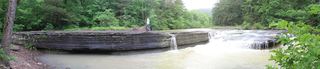 Haw Creek FallsResearched visit notes6 ft (1.8 m) · Johnson County, AR
- Pam's GrottoSource-reviewed route and parking37 ft (11.3 m) · Johnson County, AR
- Walterfall Hollow Falls #2Partial guide: trail-side waterfall identified; parking authorization and connecting directions unverifiedNewton County, AR
- High Bank Twin FallsResearched visit notes71 ft (21.7 m) · Johnson County, AR
- Accord Hollow FallsHistoric bushwhack; current access unverifiedJohnson County, AR
- Big Shoal CascadePartial guide: historical ford location; safe parking and current approach unverified8 ft (2.4 m) · Logan County, AR
- White Oak Creek FallsPartial: 2013 driving directions; parking and current road condition unconfirmed37 ft (11.3 m) · Franklin County, AR
- Sentinel Rock FallsHistorical approach; current gate and descent unverified52 ft (15.9 m) · Franklin County, AR
- Lichen FallsResearched walking route28 ft (8.5 m) · Johnson County, AR
- Car Wash FallsRoadside location; parking and road status unverified21 ft (6.4 m) · Johnson County, AR
- Bingham Hollow FallsApproach or parking partly unconfirmed51 ft (15.6 m) · Franklin County, AR
 Mt Nebo FallsResearched walking route32 ft (9.8 m) · Yell County, AR
- V-Slot FallsPartial: one visitor account, land ownership and parking legality not confirmed10 ft (3.1 m) · Johnson County, AR
- Swamp FallsPartial: user-submitted route; land ownership and legal parking not confirmed19 ft (5.8 m) · Johnson County, AR
- Sidewinder FallsInformal approach documented; individual waterfall distance unknown21 ft (6.4 m) · Johnson County, AR
- Piney Bowl FallsHistorical bushwhack; current road and parking unknown64 ft (19.5 m) · Newton County, AR
- Bent Tree FallsPartial guide: matching mapped waterfall and system parking; final spur unverifiedPope County, AR
- Spy Rock FallsParking and trail-side approach documented; view may be obscured19 ft (5.8 m) · Franklin County, AR
- Deer Trail FallsHistoric approach; current road access unverified55 ft (16.8 m) · Newton County, AR
- Stave Mill FallsResearched walking routePope County, AR
- Big Buck FallsApproach or parking partly unconfirmed62 ft (18.9 m) · Newton County, AR
- Hardy FallsPartial guide: safe authorized parking on the highway curve is unverified8 ft (2.4 m) · Logan County, AR
- Mt Magazine FallsCurrent off-trail approach unconfirmed28 ft (8.5 m) · Logan County, AR
- Cabin FallsMapped approach; current access unconfirmed36 ft (11 m) · Pope County, AR
- Maidenhair FallsCurrent parking and safe approach unconfirmed30 ft (9.2 m) · Pope County, AR
- Pig Trail FallsSafe parking location unconfirmed18 ft (5.5 m) · Franklin County, AR
- Leaning Log FallsPartial: one visitor account, no trail, and no single-fall distance27 ft (8.2 m) · Newton County, AR
- Adkins Canyon FallsFirsthand route and parking documented; difficult unmarked bushwhack and creek crossing42 ft (12.8 m) · Newton County, AR
 Glory HoleSource-reviewed route and roadside parking limitation31 ft (9.5 m) · Newton County, AR
- Sixty Foot FallsCurrent road access and approach unconfirmed56 ft (17 m) · Franklin County, AR
- Spirit Mountain FallsPartial: trailless bushwhack from an unspecified roadside spot; land status and parking unconfirmed15 ft (4.6 m) · Franklin County, AR
- Mountain Fork Creek FallsPartial guide: falls approach segment documented; permitted parking and full route unverified13 ft (4 m) · Franklin County, AR
- Ken Smith FallsUpper-drop identity documented; approach and parking incompleteNewton County, AR
- McClure FallsCurrent road and parking access unconfirmedNewton County, AR
- North Fork Rd Falls (South)Current roadside parking unconfirmed33 ft (10.1 m) · Pope County, AR
- Native American FallsCurrent parking access unconfirmed41 ft (12.5 m) · Pope County, AR
- Bowers Hollow FallsResearched visit notes56 ft (17.1 m) · Newton County, AR
- Senyard FallsPartial guide: trailhead documented; final creek crossing and bluff descent unverified29 ft (8.8 m) · Franklin County, AR
- Stahle FallsRoadside parking authorization unconfirmed63 ft (19.2 m) · Newton County, AR
- Magnolia FallsSource-reviewed route and parking26 ft (7.9 m) · Newton County, AR
- Woods Boys FallsSource-reviewed route and parking33 ft (10.1 m) · Newton County, AR
- Hadlock CascadePartial: stated limitations remain27 ft (8.2 m) · Newton County, AR
- Train Trestle FallsPartial guide: historical Ragtown clearing parking authorization unverified31 ft (9.5 m) · Franklin County, AR
- Beagle Point FallsApproach or parking partly unconfirmed76 ft (23.2 m) · Newton County, AR
- Compton's Double FallsFirsthand approach and roadside parking documented; steep terrain and creek crossing39 ft (11.9 m) · Newton County, AR
- Amber FallsPartial: exact final approach remains unresolved18 ft (5.5 m) · Newton County, AR
- Paradise FallsBushwhack approach and parking not currently verified32 ft (9.8 m) · Newton County, AR
- Lonesome Hollow FallsHistorical approach; current roadside parking unverified47 ft (14.3 m) · Newton County, AR
- Spirit Creek FallsCurrent parking access unconfirmed8 ft (2.4 m) · Franklin County, AR
- Robinson FallsPartial guide: historical Ragtown clearing parking authorization unverifiedFranklin County, AR
- Thousand Kisses FallsPartial guide: waterfall location along bluff documented; final approach insufficiently detailed32 ft (9.9 m) · Newton County, AR
- Lower Haley FallsPartial: only the upper-falls approach is documented; lower-base descent unverified45 ft (13.7 m) · Newton County, AR
- Upper Haley FallsPublished parking and upper-falls approach; exposed edge17 ft (5.2 m) · Newton County, AR
- Mule Trail FallsPublished parking and top-of-falls approach; off-trail creek section31 ft (9.5 m) · Newton County, AR
- Cub Hollow FallsArea access documented; exact waterfall identity unresolvedNewton County, AR
- Penhook FallsPartial guide: historical parking documented; final bluff descent and creek route unverified41 ft (12.5 m) · Pope County, AR
Closest with a photo
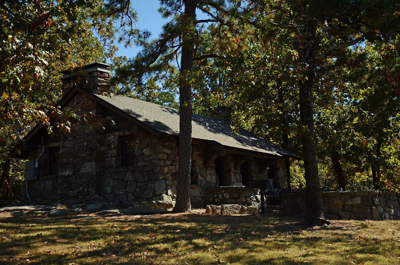
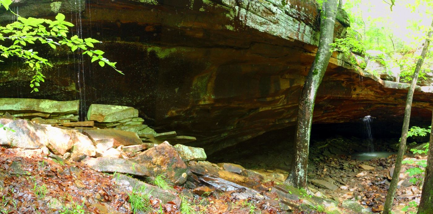
All 91 waterfalls
- Lucy Falls17 ft (5.2 m) · Johnson County, AR9.7 miN
- Aspen Falls37 ft (11.3 m) · Johnson County, AR9.8 miN
- Spainhour Falls16 ft (4.9 m) · Johnson County, AR10 miN
- Horsehead Creek FallsHistorical route; current parking unconfirmed35 ft (10.7 m) · Johnson County, AR14 miNW
- Highway 123 FallsResearched walking route47 ft (14.3 m) · Johnson County, AR14 miNE
- Bear Skull FallsResearched visit notes22 ft (6.7 m) · Johnson County, AR15 miNE
- Slot Rock FallsPartial guide: historical interior route only; parking and current access unverified8 ft (2.4 m) · Johnson County, AR15 miN
- Sunset FallsComplete approach and parking unconfirmed70 ft (21.4 m) · Johnson County, AR16 miNE
- Discovery Falls43 ft (13.1 m) · Johnson County, AR16 miNE
- Hobo Falls WestSource-reviewed route and parking27 ft (8.2 m) · Johnson County, AR16 miNE
- Hobo Falls EastPublished parking and approach verified; creek crossing and canyon spur23 ft (7 m) · Johnson County, AR16 miNE
- Doppelganger FallsPartial guide: historical parking documented; current off-trail approach unverified19 ft (5.8 m) · Johnson County, AR16 miNW
- Legos Falls40 ft (12.2 m) · Johnson County, AR17 miNW
- Shower Chair FallsPartial: 2013 driving directions; parking, road condition and walking distance unconfirmed41 ft (12.5 m) · Johnson County, AR17 miNW
- Forever FallsApproach or parking partly unconfirmed47 ft (14.3 m) · Pope County, AR18 miNE
- Wildman Twin Falls43 ft (13.1 m) · Logan County, AR18 miS
- Graves FallsHistorical bushwhack; current road access unverifiedPope County, AR18 miNE
- Estep Creek FallsPartial guide: club-documented parking and falls identity; connecting approach unverified16 ft (4.9 m) · Johnson County, AR18 miN
- Pack Rat FallsResearched walking route24 ft (7.3 m) · Johnson County, AR18 miNE
- Long Pool FallsParking and approach documented; distance limitations stated44 ft (13.4 m) · Pope County, AR18 miE
- Haw Creek FallsResearched visit notes6 ft (1.8 m) · Johnson County, AR19 miNE
- Pam's GrottoSource-reviewed route and parking37 ft (11.3 m) · Johnson County, AR19 miNE
- Mineral Spring Falls43 ft (13.1 m) · Franklin County, AR19 miNW
- Walterfall Hollow Falls #1Newton County, AR19 miN
- Walterfall Hollow Falls #2Partial guide: trail-side waterfall identified; parking authorization and connecting directions unverifiedNewton County, AR19 miN
- High Bank Twin FallsResearched visit notes71 ft (21.7 m) · Johnson County, AR19 miNW
- Walterfall Hollow Falls #3Newton County, AR19 miN
- Accord Hollow FallsHistoric bushwhack; current access unverifiedJohnson County, AR19 miN
- Big Shoal CascadePartial guide: historical ford location; safe parking and current approach unverified8 ft (2.4 m) · Logan County, AR20 miS
- White Oak Creek FallsPartial: 2013 driving directions; parking and current road condition unconfirmed37 ft (11.3 m) · Franklin County, AR20 miNW
- Sentinel Rock FallsHistorical approach; current gate and descent unverified52 ft (15.9 m) · Franklin County, AR20 miNW
- Lichen FallsResearched walking route28 ft (8.5 m) · Johnson County, AR20 miN
- Car Wash FallsRoadside location; parking and road status unverified21 ft (6.4 m) · Johnson County, AR20 miNE
- Bingham Hollow FallsApproach or parking partly unconfirmed51 ft (15.6 m) · Franklin County, AR21 miNW
- Mt Nebo FallsResearched walking route32 ft (9.8 m) · Yell County, AR21 miSE
- V-Slot FallsPartial: one visitor account, land ownership and parking legality not confirmed10 ft (3.1 m) · Johnson County, AR22 miNE
- Swamp FallsPartial: user-submitted route; land ownership and legal parking not confirmed19 ft (5.8 m) · Johnson County, AR22 miNE
- Sidewinder FallsInformal approach documented; individual waterfall distance unknown21 ft (6.4 m) · Johnson County, AR22 miNE
- Piney Bowl FallsHistorical bushwhack; current road and parking unknown64 ft (19.5 m) · Newton County, AR22 miNE
- Rock Creek Bluff Falls47 ft (14.3 m) · Newton County, AR22 miNE
- Bent Tree FallsPartial guide: matching mapped waterfall and system parking; final spur unverifiedPope County, AR22 miE
- Spy Rock FallsParking and trail-side approach documented; view may be obscured19 ft (5.8 m) · Franklin County, AR22 miNW
- Deer Trail FallsHistoric approach; current road access unverified55 ft (16.8 m) · Newton County, AR22 miNE
- Stave Mill FallsResearched walking routePope County, AR23 miE
- Big Buck FallsApproach or parking partly unconfirmed62 ft (18.9 m) · Newton County, AR23 miNE
Show the other 46 waterfalls, 23 mi to 30 mi away
- Monkey Falls33 ft (10.1 m) · Johnson County, AR23 miNW
- Hardy FallsPartial guide: safe authorized parking on the highway curve is unverified8 ft (2.4 m) · Logan County, AR23 miS
- Black Bear Falls31 ft (9.5 m) · Johnson County, AR23 miNW
- Mt Magazine FallsCurrent off-trail approach unconfirmed28 ft (8.5 m) · Logan County, AR23 miSW
- Mt Magazine CascadeLogan County, AR23 miSW
- Lori FallsLogan County, AR23 miSW
- Cabin FallsMapped approach; current access unconfirmed36 ft (11 m) · Pope County, AR24 miE
- Maidenhair FallsCurrent parking and safe approach unconfirmed30 ft (9.2 m) · Pope County, AR24 miE
- Pig Trail FallsSafe parking location unconfirmed18 ft (5.5 m) · Franklin County, AR24 miNW
- Leaning Log FallsPartial: one visitor account, no trail, and no single-fall distance27 ft (8.2 m) · Newton County, AR24 miN
- Adkins Canyon FallsFirsthand route and parking documented; difficult unmarked bushwhack and creek crossing42 ft (12.8 m) · Newton County, AR24 miN
- Glory HoleSource-reviewed route and roadside parking limitation31 ft (9.5 m) · Newton County, AR25 miN
- Sixty Foot FallsCurrent road access and approach unconfirmed56 ft (17 m) · Franklin County, AR25 miNW
- Spirit Mountain FallsPartial: trailless bushwhack from an unspecified roadside spot; land status and parking unconfirmed15 ft (4.6 m) · Franklin County, AR25 miNW
- Mountain Fork Creek FallsPartial guide: falls approach segment documented; permitted parking and full route unverified13 ft (4 m) · Franklin County, AR25 miNW
- Lacey Creek Falls45 ft (13.7 m) · Logan County, AR25 miSW
- Ken Smith FallsUpper-drop identity documented; approach and parking incompleteNewton County, AR26 miN
- McClure FallsCurrent road and parking access unconfirmedNewton County, AR26 miN
- North Fork Rd Falls (South)Current roadside parking unconfirmed33 ft (10.1 m) · Pope County, AR26 miE
- North Fork Rd Falls (North)53 ft (16.2 m) · Pope County, AR26 miE
- Native American FallsCurrent parking access unconfirmed41 ft (12.5 m) · Pope County, AR26 miNE
- Bowers Hollow FallsResearched visit notes56 ft (17.1 m) · Newton County, AR27 miN
- Senyard FallsPartial guide: trailhead documented; final creek crossing and bluff descent unverified29 ft (8.8 m) · Franklin County, AR27 miNW
- Murray Falls37 ft (11.3 m) · Franklin County, AR27 miNW
- Stahle FallsRoadside parking authorization unconfirmed63 ft (19.2 m) · Newton County, AR27 miN
- Magnolia FallsSource-reviewed route and parking26 ft (7.9 m) · Newton County, AR27 miN
- Woods Boys FallsSource-reviewed route and parking33 ft (10.1 m) · Newton County, AR27 miN
- Hadlock CascadePartial: stated limitations remain27 ft (8.2 m) · Newton County, AR28 miN
- Train Trestle FallsPartial guide: historical Ragtown clearing parking authorization unverified31 ft (9.5 m) · Franklin County, AR28 miNW
- Wild Burro Falls21 ft (6.4 m) · Newton County, AR28 miN
- Beagle Point FallsApproach or parking partly unconfirmed76 ft (23.2 m) · Newton County, AR28 miN
 Stepp Creek FallsNewton County, AR28 miN
- Compton's Double FallsFirsthand approach and roadside parking documented; steep terrain and creek crossing39 ft (11.9 m) · Newton County, AR28 miN
- Phipps Branch Falls23 ft (7 m) · Franklin County, AR28 miNW
- Amber FallsPartial: exact final approach remains unresolved18 ft (5.5 m) · Newton County, AR29 miN
- Paradise FallsBushwhack approach and parking not currently verified32 ft (9.8 m) · Newton County, AR29 miN
- Lonesome Hollow FallsHistorical approach; current roadside parking unverified47 ft (14.3 m) · Newton County, AR29 miNE
- Spirit Creek FallsCurrent parking access unconfirmed8 ft (2.4 m) · Franklin County, AR29 miNW
- Rattlesnake Falls29 ft (8.8 m) · Pope County, AR29 miNE
- Robinson FallsPartial guide: historical Ragtown clearing parking authorization unverifiedFranklin County, AR29 miNW
- Thousand Kisses FallsPartial guide: waterfall location along bluff documented; final approach insufficiently detailed32 ft (9.9 m) · Newton County, AR29 miN
- Lower Haley FallsPartial: only the upper-falls approach is documented; lower-base descent unverified45 ft (13.7 m) · Newton County, AR29 miN
- Upper Haley FallsPublished parking and upper-falls approach; exposed edge17 ft (5.2 m) · Newton County, AR29 miN
- Mule Trail FallsPublished parking and top-of-falls approach; off-trail creek section31 ft (9.5 m) · Newton County, AR29 miN
- Cub Hollow FallsArea access documented; exact waterfall identity unresolvedNewton County, AR29 miNE
- Penhook FallsPartial guide: historical parking documented; final bluff descent and creek route unverified41 ft (12.5 m) · Pope County, AR30 miE