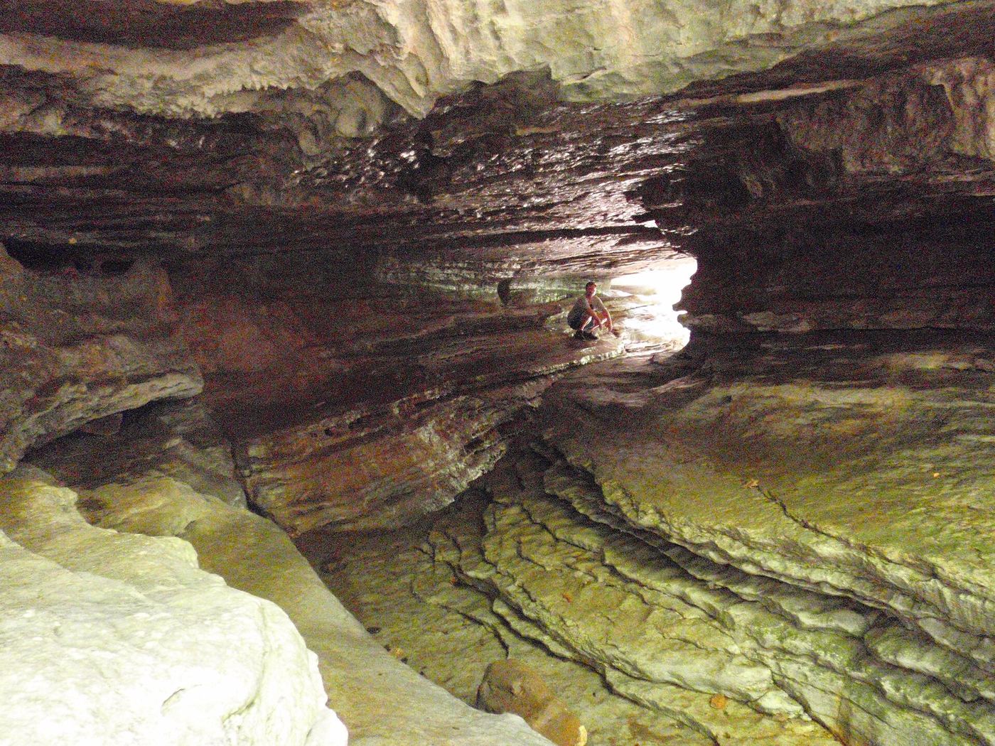
Eden Falls
53 ft (16.2 m) · Newton County, AR
198 named waterfalls in 25 counties. Browse mapped locations and recorded heights. A map listing does not confirm public access or a walking route.
Read the walking route, starting point and current access notes.
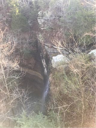 Bridal Veil FallsResearched walking route49 ft (14.9 m) · Cleburne County, AR
 Glory HoleSource-reviewed route and roadside parking limitation31 ft (9.5 m) · Newton County, AR
 Natural Dam WaterfallRoadside view and adjacent parking documented8 ft (2.4 m) · Crawford County, AR
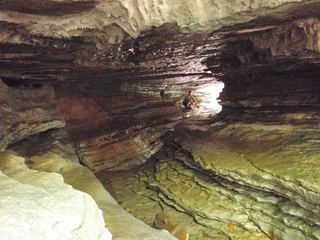 Eden FallsResearched visit notes53 ft (16.2 m) · Newton County, AR
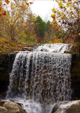 Tanyard Creek FallsPartial: distance from the parking lot to the falls is not stated12 ft (3.7 m) · Benton County, AR
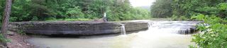 Haw Creek FallsResearched visit notes6 ft (1.8 m) · Johnson County, AR
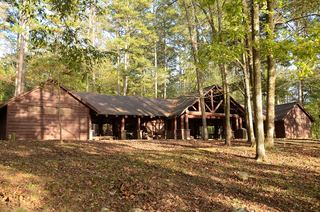 Shady Lake CascadeCurrent overlook access unconfirmed27 ft (8.2 m) · Polk County, AR
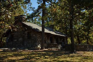 Mt Nebo FallsResearched walking route32 ft (9.8 m) · Yell County, AR
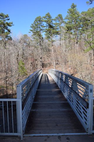 Little Missouri FallsOverlook route verified; parking connection from regional trail guideMontgomery County, AR
53 ft (16.2 m) · Newton County, AR
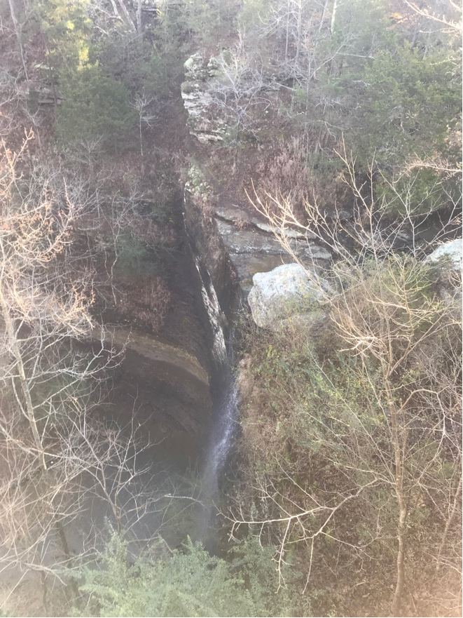
49 ft (14.9 m) · Cleburne County, AR
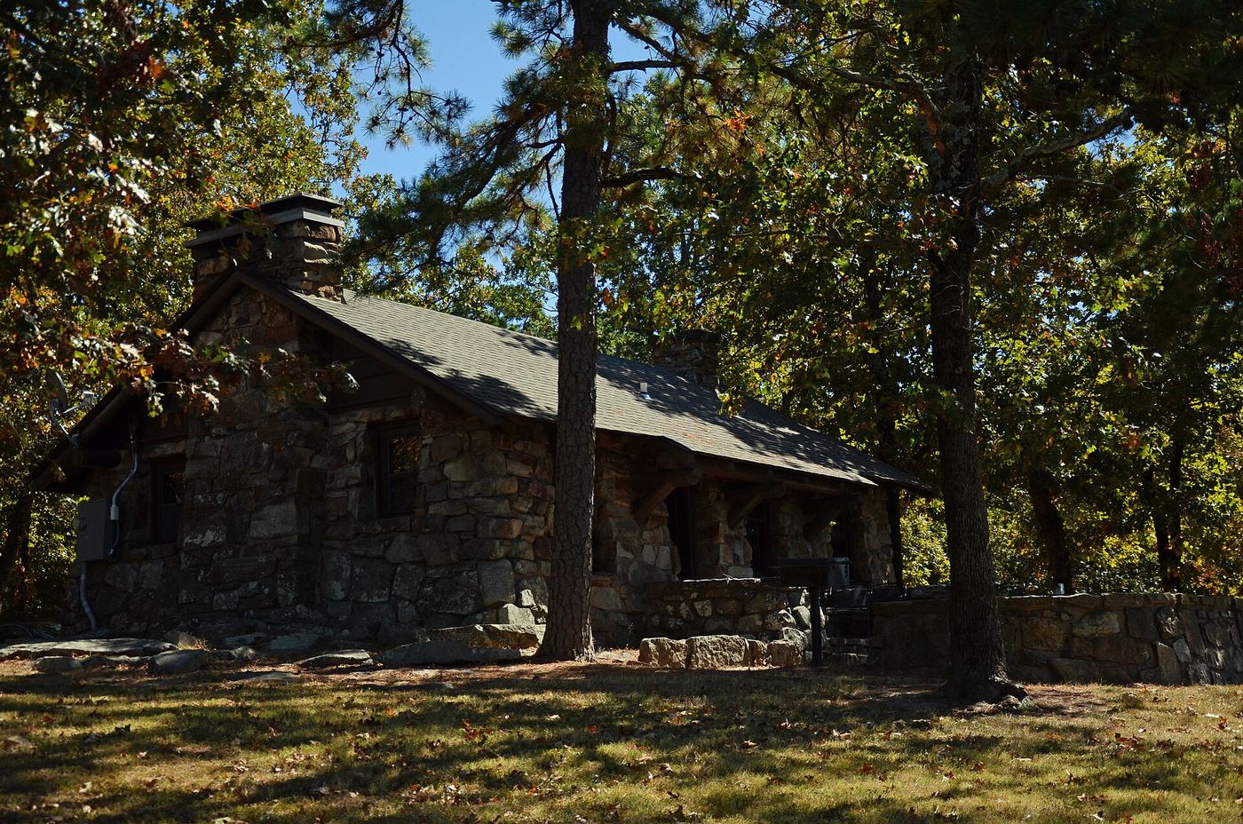
32 ft (9.8 m) · Yell County, AR
Eden FallsResearched visit notes53 ft (16.2 m) · Newton CountyGlory HoleSource-reviewed route and roadside parking limitation31 ft (9.5 m) · Newton County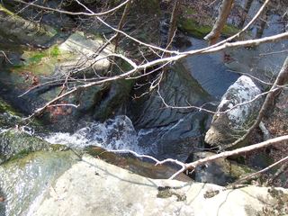 Stepp Creek FallsNewton CountyHaw Creek FallsResearched visit notes6 ft (1.8 m) · Johnson CountyLittle Missouri FallsOverlook route verified; parking connection from regional trail guideMontgomery CountyNatural Dam WaterfallRoadside view and adjacent parking documented8 ft (2.4 m) · Crawford County