Tanyard Creek Falls
Benton County, Arkansas
Your visit at a glance
- Waterfall height
- 12 ft (3.7 m)
- Location
- Benton County, Arkansas
- Access status
- Partial: distance from the parking lot to the falls is not stated
- The walk
- The nature trail is 2.2 miles in two parts; the distance to the falls alone is not stated in the reviewed sources
- Ground & access
- Paved start, then a well-marked dirt trail with a hill, bridges and some rocks. The trail was built and is kept up by volunteers. Rated easy to moderate, about an hour.
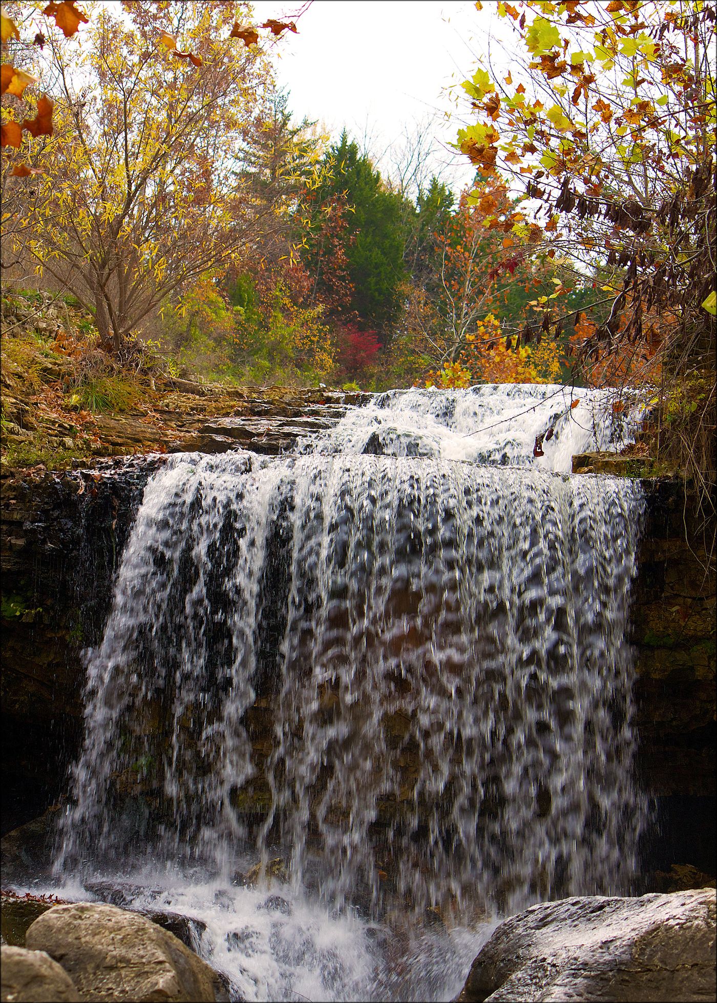
The trail starts at the parking lot about a mile west of Highway 71 on Lancashire Boulevard (Highway 340). The first quarter mile is paved, then it becomes a maintained dirt trail past a suspension bridge and limestone bluffs. A climb up a hill leads to Tanyard Creek Falls, which has an overlook. The falls are fed by Lake Windsor and flow year round, fullest in spring after rain.
Plan your visit
Tanyard Creek Nature Trail from the park parking lot on Lancashire Boulevard in Bella Vista
The 2.2 mile figure is the whole two-part trail. No reviewed source gives a separate distance from the lot to the falls.
Paved start, then a well-marked dirt trail with a hill, bridges and some rocks. The trail was built and is kept up by volunteers. Rated easy to moderate, about an hour.
Where to start
Parking lot at the trailhead on Lancashire Boulevard (Highway 340), about a mile west of Highway 71.
Timing & water
Flows year round because it is fed by Lake Windsor; best in spring or after heavy rain.
Before you go
No fee is listed in the reviewed sources.
Visitor informationVisit sources
More waterfalls nearby
Within 40 straight-line miles. Road and trail distances will differ.
- Dripping SpringsState park accessible overlook and steps to the base; entrance fee77 ft (23.4 m) · Delaware County, OK30 miSW
- Tea Kettle FallsPartial: route is poorly marked and two reviewers reported a private-property problem near the access road46 ft (14 m) · Madison County, AR33 miSE
- Road 299 FallsResearched walking route21 ft (6.4 m) · Madison County, AR37 miSE
- Glory B FallsCurrent parking access unconfirmed16 ft (4.9 m) · Madison County, AR37 miSE
- Eagle's Nest FallsSource-reviewed route and parking41 ft (12.5 m) · Madison County, AR38 miSE