Cossatot Falls
Howard County, Arkansas
Your visit at a glance
- Waterfall height
- 33 ft (10.1 m)
- Location
- Howard County, Arkansas
- The walk
- About 0.33 mile along the falls; return the same way
- Ground & access
- Hike Arkansas rates this difficult and hazardous when wet. The state park warns of steep, slippery terrain and unprotected areas; this is not an accessible overlook route.
Start at the Cossatot Falls Access parking area. The short riverside route follows the six rocky drops across gravel bars and uplifted sandstone, ending near the final rapid.
Plan your visit
Cossatot Falls Trail from the falls access area
Hike Arkansas lists a one-third-mile trail ending at the final rapid. It does not explicitly label the listed distance as round trip; allow for the return.
Hike Arkansas rates this difficult and hazardous when wet. The state park warns of steep, slippery terrain and unprotected areas; this is not an accessible overlook route.
Where to start
Use the Cossatot Falls Access area parking. The state trail brochure also identifies parking at river access areas, including the falls.
Timing & water
State trails open at sunrise and close one hour after sunset. Wet rock and changing river flow affect access.
Before you go
Fees, permits and reservation requirements for this visit have not been confirmed; check with the land manager.
Visitor informationMore waterfalls nearby
Within 40 straight-line miles. Road and trail distances will differ.
- Devils Hollow FallsRiver identity confirmed; walking approach unconfirmedHoward County, AR2.0 miSE
- Katy FallsSource-reviewed route and parking12 ft (3.7 m) · Polk County, AR9.9 miNE
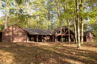 Shady Lake CascadeCurrent overlook access unconfirmed27 ft (8.2 m) · Polk County, AR12 miE
- Panther Bluff FallsParking and current approach unconfirmed31 ft (9.5 m) · Howard County, AR12 miSE
- Trailhead Falls21 ft (6.4 m) · Polk County, AR13 miNE
- Blaylock Creek FallsPull-off reported; walking approach unverified31 ft (9.5 m) · Montgomery County, AR18 miE
- Winding StaircaseMontgomery County, AR18 miE
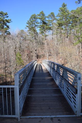 Little Missouri FallsOverlook route verified; parking connection from regional trail guideMontgomery County, AR19 miE
- Crooked Creek FallsPublished roadside parking and view; no developed walking route verified16 ft (4.9 m) · Montgomery County, AR21 miE