Shady Lake Cascade
Polk County, Arkansas
Your visit at a glance
- Waterfall height
- 27 ft (8.2 m)
- Location
- Polk County, Arkansas
- Access status
- Current overlook access unconfirmed
- The walk
- Short reported descent; distance not measured
- Ground & access
- The firsthand report describes slick rock below the overlook. Recreation.gov currently instructs visitors to stay off the dam; do not use it as a walking route.
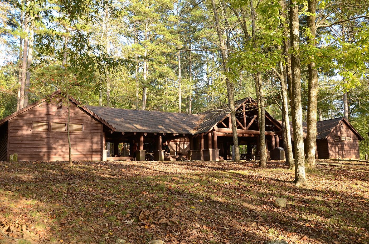
Bryce Alexander identifies the natural cascade beside Shady Lake’s dam and describes viewing it from the overlook area with a short descent. The exact current permitted viewpoint and walking route need confirmation after changes to the recreation area.
Plan your visit
Dam-overlook area beside Forest Road 38
The 2016 account describes a short downhill walk from the overlook. Distances for the complete Shady Lake or Tall Peak trails are not distances to this cascade.
The firsthand report describes slick rock below the overlook. Recreation.gov currently instructs visitors to stay off the dam; do not use it as a walking route.
Where to start
The 2016 report identifies a parking spot at the dam overlook beside FR 38, before the campground entrance. Current authorization for that specific stopping place has not been confirmed.
Timing & water
Recreation.gov lists facility operation from April 15 through November 30. Confirm access outside that season.
Before you go
Recreation.gov lists paid day use. Confirm the applicable day-use charge locally; camping reservation charges are separate.
Visitor informationVisit sources
More waterfalls nearby
Within 40 straight-line miles. Road and trail distances will differ.
- Trailhead Falls21 ft (6.4 m) · Polk County, AR2.5 miN
- Katy FallsSource-reviewed route and parking12 ft (3.7 m) · Polk County, AR3.9 miNW
- Blaylock Creek FallsPull-off reported; walking approach unverified31 ft (9.5 m) · Montgomery County, AR6.1 miE
- Winding StaircaseMontgomery County, AR6.8 miE
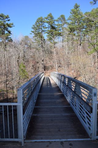 Little Missouri FallsOverlook route verified; parking connection from regional trail guideMontgomery County, AR7.6 miNE
- Crooked Creek FallsPublished roadside parking and view; no developed walking route verified16 ft (4.9 m) · Montgomery County, AR9.4 miNE
- Devils Hollow FallsRiver identity confirmed; walking approach unconfirmedHoward County, AR11 miSW
- Cossatot FallsResearched visit notes33 ft (10.1 m) · Howard County, AR12 miW
- Panther Bluff FallsParking and current approach unconfirmed31 ft (9.5 m) · Howard County, AR12 miS