Katy Falls
Polk County, Arkansas
Your visit at a glance
- Waterfall height
- 12 ft (3.7 m)
- Location
- Polk County, Arkansas
- Access status
- Source-reviewed route and parking
- The walk
- About 3.8 to 3.9 miles one way to the junction, plus the short falls spur; return the same way
- Ground & access
- Wilderness route with repeated stream fords, uneven footing and limited waymarking. The USFS leaflet states that trails in the wilderness are not marked or signed, so carry a map and compass. Streams can flash flood; do not cross when conditions are unsafe.
Follow Caney Creek Trail west from its eastern trailhead. After crossing Katy Creek, turn right onto Buckeye Trail. Soon take the right-hand spur to Katy Falls. Retrace the route to parking. This itinerary does not include the full Buckeye Mountain loop and road walk. The official map confirms the valley route; the firsthand report supplies the falls spur.
Plan your visit
East Caney Creek Trail to Buckeye junction and Katy Falls spur
Source-reported lengths; no distance inferred from mapped proximity.
Wilderness route with repeated stream fords, uneven footing and limited waymarking. The USFS leaflet states that trails in the wilderness are not marked or signed, so carry a map and compass. Streams can flash flood; do not cross when conditions are unsafe.
Where to start
East Caney Creek Trailhead parking on FR 38, marked on the USFS map. The leaflet places it 7 miles north of Highway 246 on FR 38. Buckeye Trailhead is a separate parking area another mile north.
Timing & water
Check weather and local access conditions before travel.
Before you go
Current fees or reservations not established.
Visitor informationVisit sources
More waterfalls nearby
Within 40 straight-line miles. Road and trail distances will differ.
- Trailhead Falls21 ft (6.4 m) · Polk County, AR3.4 miE
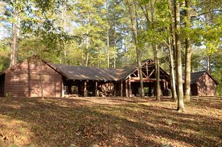 Shady Lake CascadeCurrent overlook access unconfirmed27 ft (8.2 m) · Polk County, AR3.9 miSE
- Blaylock Creek FallsPull-off reported; walking approach unverified31 ft (9.5 m) · Montgomery County, AR9.2 miE
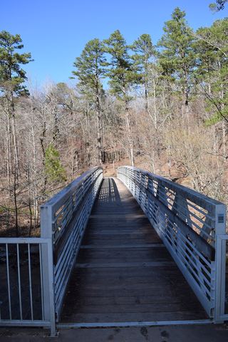 Little Missouri FallsOverlook route verified; parking connection from regional trail guideMontgomery County, AR9.4 miE
- Devils Hollow FallsRiver identity confirmed; walking approach unconfirmedHoward County, AR9.8 miSW
- Cossatot FallsResearched visit notes33 ft (10.1 m) · Howard County, AR9.9 miSW
- Winding StaircaseMontgomery County, AR10 miE
- Crooked Creek FallsPublished roadside parking and view; no developed walking route verified16 ft (4.9 m) · Montgomery County, AR11 miE
- Panther Bluff FallsParking and current approach unconfirmed31 ft (9.5 m) · Howard County, AR14 miS