Eden Falls
Newton County, Arkansas
Your visit at a glance
- Waterfall height
- 53 ft (16.2 m)
- Location
- Newton County, Arkansas
- The walk
- About 2.4 miles round trip
- Ground & access
- NPS describes an easy-to-moderate trail with stone steps beyond the initial gentle section. The optional upper cave route is rugged and steep.
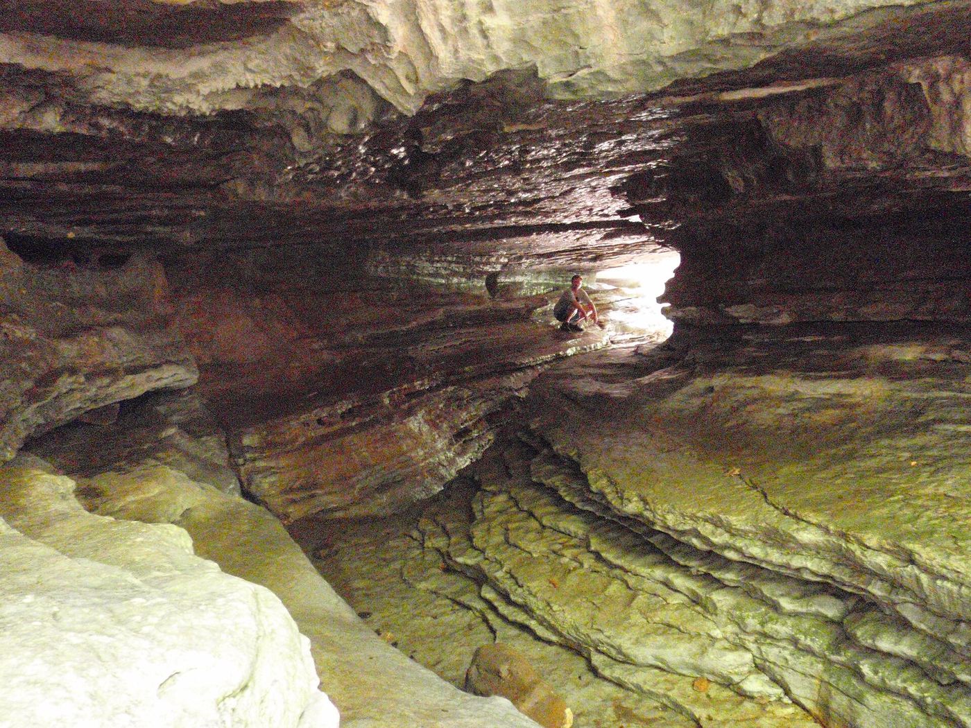
Follow Lost Valley Trail from the parking area, past the Natural Bridge and up stone steps toward Cob Cave and Eden Falls. This visit ends at the outdoor waterfall; the steeper cave spur is a separate extension.
Plan your visit
Lost Valley Trail to outdoor Eden Falls
The NPS trail handout gives 1.2 miles from Lost Valley to Eden Falls. Returning the same way gives about 2.4 miles; the NPS place page rounds the location to approximately one mile down the trail.
NPS describes an easy-to-moderate trail with stone steps beyond the initial gentle section. The optional upper cave route is rugged and steep.
Where to start
Use the signed Lost Valley trailhead parking off Highway 43 near Ponca. The NPS handout gives trailhead coordinates 36.0101739, -93.3745693.
Timing & water
Check current access and conditions before travel; the reviewed source does not establish a reliable visiting season.
Before you go
Lost Valley is day use only; overnight camping is not permitted. Check current park notices before visiting.
Visitor informationMore waterfalls nearby
Within 40 straight-line miles. Road and trail distances will differ.
- Upper Armadillo FallsNewton County, AR0.4 miE
- Middle Armadillo FallsPartial guide: hazardous historical off-trail approach; NPS advises designated trails18 ft (5.5 m) · Newton County, AR0.4 miE
- Lower Armadillo FallsLocation only: waterfall tier mismatch24 ft (7.3 m) · Newton County, AR0.4 miE
- Sweden Creek FallsOfficial trail and current designated parking documented81 ft (24.7 m) · Madison County, AR5.1 miSW
- Hedges Pouroff113 ft (34.5 m) · Newton County, AR5.3 miS
- Elise FallsResearched walking route21 ft (6.4 m) · Newton County, AR5.5 miS
- Hammerschmidt FallsResearched walking route43 ft (13.1 m) · Newton County, AR5.6 miE
- Tunnel Cave FallsCurrent approach and parking unconfirmed31 ft (9.5 m) · Newton County, AR5.6 miE
- Copperhead FallsPartial: current unmaintained approach conditions unverified13 ft (4 m) · Newton County, AR5.6 miE