Lower Armadillo Falls
Newton County, Arkansas
Your visit at a glance
- Waterfall height
- 24 ft (7.3 m)
- Location
- Newton County, Arkansas
- Access status
- Location only: waterfall tier mismatch
- The walk
- No confirmed walk to the mapped tier
- Ground & access
- The historical account describes creek crossings, steep scrambling and narrow ledges. No permissible final approach to this exact tier has been verified.
The mapped point does not match the firsthand source’s Lower Armadillo tier. It lies nearer that source’s Upper/Middle tier. This entry provides location research only, not a confirmed walking route.
Plan your visit
Location information only; waterfall tier unresolved
The published creek-branch distance describes a different Lower Armadillo point. It is not applied to the point shown here.
The historical account describes creek crossings, steep scrambling and narrow ledges. No permissible final approach to this exact tier has been verified.
Where to start
NPS documents parking for the maintained Lost Valley Trail near Ponca. That facility does not establish authorized access to Armadillo Creek or this mapped waterfall tier.
Timing & water
Check current access and conditions before travel; the reviewed source does not establish a reliable visiting season.
Before you go
NPS requires designated trails where provided and prohibits social-trail use. Its limited exception allows low-impact cross-country hiking; this does not establish permission for the published Armadillo approach. Confirm access with park staff.
Visitor informationVisit sources
More waterfalls nearby
Within 40 straight-line miles. Road and trail distances will differ.
- Middle Armadillo FallsPartial guide: hazardous historical off-trail approach; NPS advises designated trails18 ft (5.5 m) · Newton County, AR0.0 miNW
- Upper Armadillo FallsNewton County, AR0.0 miN
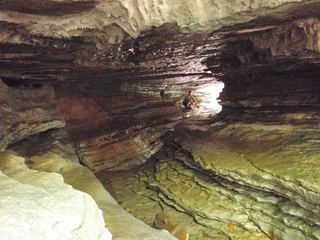 Eden FallsResearched visit notes53 ft (16.2 m) · Newton County, AR0.4 miW
- Hammerschmidt FallsResearched walking route43 ft (13.1 m) · Newton County, AR5.2 miE
- Hedges Pouroff113 ft (34.5 m) · Newton County, AR5.3 miS
- Tunnel Cave FallsCurrent approach and parking unconfirmed31 ft (9.5 m) · Newton County, AR5.3 miE
- Copperhead FallsPartial: current unmaintained approach conditions unverified13 ft (4 m) · Newton County, AR5.3 miE
- Sweden Creek FallsOfficial trail and current designated parking documented81 ft (24.7 m) · Madison County, AR5.3 miSW
- Elise FallsResearched walking route21 ft (6.4 m) · Newton County, AR5.4 miS