Waterfalls in Michigan
91 named waterfalls in 15 counties. Browse mapped locations and recorded heights. A map listing does not confirm public access or a walking route.
Visits with route details
Read the walking route, starting point and current access notes.
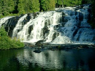 Bond FallsSource-reviewed route and parkingOntonagon County, MI
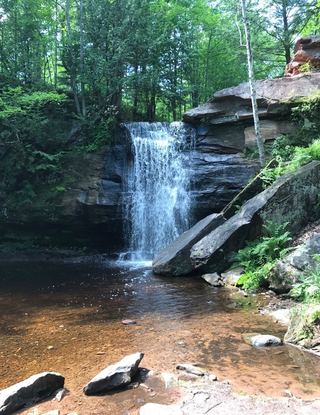 Lower Hungarian FallsVerified approach to the upper edge; restricted view of Lower FallsHoughton County, MI
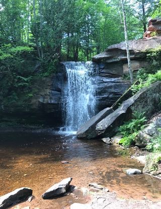 Upper Hungarian FallsVerified approach to the upper viewpoint; distance unknownHoughton County, MI
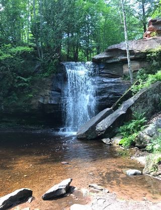 Middle Hungarian FallsSource-reviewed route and parkingHoughton County, MI
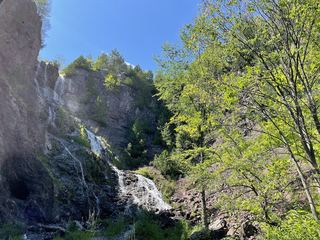 Houghton-Douglass FallsConstruction incomplete; waterfall approach undeveloped110 ft (33.5 m) · Houghton County, MI
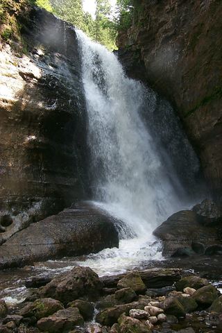 Miners FallsResearched visit notesAlger County, MI
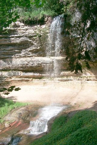 Munising FallsTrail closedAlger County, MI
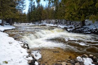 Ocqueoc FallsResearched visit notesPresque Isle County, MI
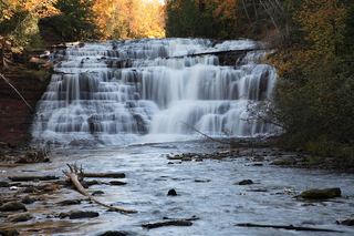 Agate FallsScenic site reopened; bridge-route repairs pendingOntonagon County, MI
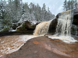 O Kun de Kun FallsResearched visit notesOntonagon County, MI
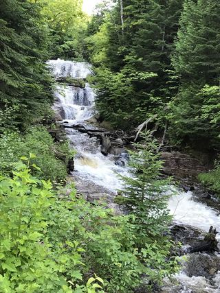 Sable FallsResearched visit notesAlger County, MI
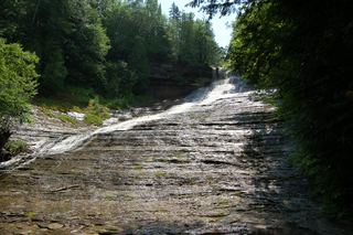 Laughing White Fish FallsOfficial state park trail, parking and pass requirement documentedAlger County, MI
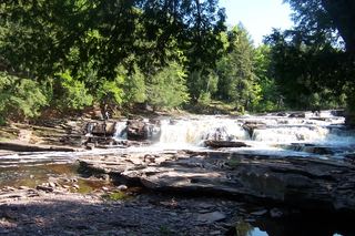 Manido FallsPublished route in a state park scenic areaGogebic County, MI
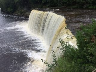 Tahquamenon Falls (Upper Falls)Official state park viewpoints and boardwalkLuce County, MI
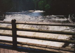 Tahquamenon Falls (Lower Falls)Official state park access and pass requirement documentedChippewa County, MI
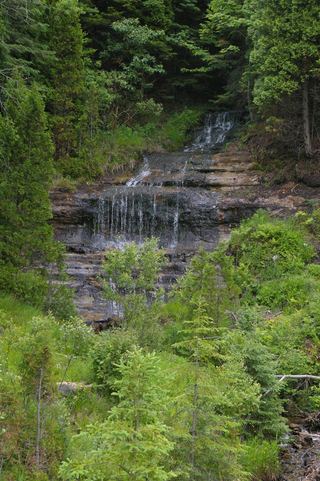 Alger FallsRoadside falls located; parking not confirmedAlger County, MI
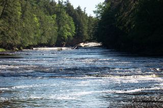 Nawadaha FallsPublished loop route in a state park scenic areaGogebic County, MI
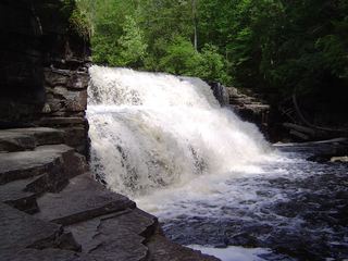 Canyon FallsRoadside park trail to a gorge fallsBaraga County, MI
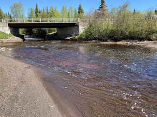 Tobacco FallsRoadside park; low dropsKeweenaw County, MI
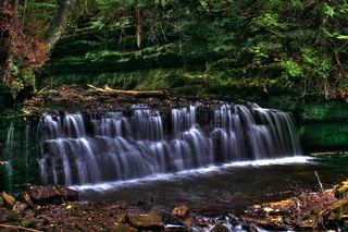 Mosquito FallsOfficial national lakeshore route, parking and fee documentedAlger County, MI
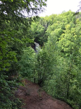 Chapel FallsNational lakeshore trail; entrance pass requiredAlger County, MI
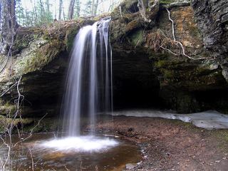 Scott FallsRoadside falls opposite a state roadside parkAlger County, MI
 Eagle River FallsRoadside bridge viewpoint documentedKeweenaw County, MI
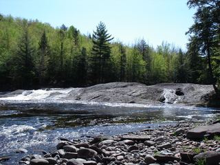 Lepisto FallsPublished trail route with distancesGogebic County, MI
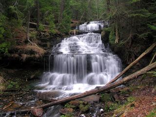 Wagner FallsOfficial scenic site trail and parking documentedAlger County, MI
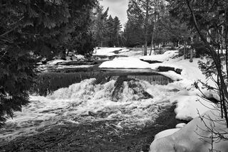 Upper Bond FallsState scenic site; staircase to the upper falls; Recreation PassportOntonagon County, MI
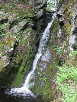 Gleason FallsVisitor route described; unmarked route and land permission not confirmedOntonagon County, MI
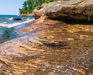 Elliot FallsOfficial park description of the walk to the fallsAlger County, MI
- Morgan FallsWalk or bike on a closed dirt road; short foot trailMarquette County, MI
- Superior FallsResearched walking routeGogebic County, MI
- Tioga Park FallsRoadside park with short footpathBaraga County, MI
- Cataract Dam FallsVisitor directions only; landowner and rules not confirmedMarquette County, MI
- Warner FallsRoadside falls; parking not confirmedMarquette County, MI
- Morgan Meadows FallsPartial guide: 2008 roadside route; land ownership and road condition not confirmedMarquette County, MI
- Quartzite FallsPartial guide: short signed path documented; road mileage conflicts and land permission unconfirmedBaraga County, MI
- Jacobs FallsRoadside falls; optional creek climbKeweenaw County, MI
- Silver FallsRoadside park and short walkKeweenaw County, MI
- Manabezho FallsState park parking and stair route documentedGogebic County, MI
- Stepping Stone FallsOfficial county park with paved pathGenesee County, MI
- Chapel Beach FallsPublished trail route to a beach falls; published distances differAlger County, MI
- Fumee Creek FallsRoadside wayside viewpoint documentedDickinson County, MI
- Upper Fumee Creek FallsPartial guide: wayside and stair documented; view of the upper drops not confirmedDickinson County, MI
- Ogemaw FallsPartial guide: unmarked creekside approach; land permission not confirmedBaraga County, MI
- Lower Big Pup FallsVisitor directions only; distance and land permission not confirmedMarquette County, MI
- Silver River FallsSigned access road and parking area documentedBaraga County, MI
- Kakabika FallsResearched route and starting areaGogebic County, MI
- Greenstone FallsPublished route on a state park trail; distance not publishedOntonagon County, MI
- Trappers FallsPublished backcountry route in a state parkGogebic County, MI
- Explorers FallsBackcountry trail in a state park; Recreation PassportGogebic County, MI
- Shining Cloud FallsPublished backcountry route in a state parkOntonagon County, MI
- Trap FallsState park trail route documented; distance derived from trail junction figuresOntonagon County, MI
- Yellow Dog FallsTourism-bureau route from a roadside parking area; distance sources disagreeMarquette County, MI
- Bonanza FallsSigned lot and short path documentedOntonagon County, MI
- Haven FallsCounty park; falls visible from the roadKeweenaw County, MI
- Montreal Falls - Upper FallsState land route to the lower falls; upper falls path not confirmedKeweenaw County, MI
- Nonesuch FallsState park trail past mine ruins; Recreation PassportOntonagon County, MI
- Superior FallsPower company site open to the public; short walkGogebic County, MI
- Little Garlic FallsForest road and riverside trailMarquette County, MI
- Manganese FallsRoadside parking and short path to overlook documentedKeweenaw County, MI
- Haymeadow FallsTrail and bridge closed; partial guide with unverified day-hiker parkingDelta County, MI
- Cascade Creek FallsFirsthand route and national forest parking documentedOntonagon County, MI
- Sturgeon FallsResearched route and starting areaHoughton County, MI
- IceOfficial winter ice viewing access; exact formation not confirmedAlger County, MI
- Power House FallsSmall park at the falls; short walkBaraga County, MI
- Bathtub FallsBackcountry hike in a state park; distance to this falls not publishedOntonagon County, MI
- Interstate FallsPublished short trail to a viewing platformGogebic County, MI
- Big Pup FallsPartial guide: roadside route documented; falls on private propertyMarquette County, MI
- Little Pup FallsPartial guide: rough two-track route documented; land ownership not confirmedMarquette County, MI
- Overlooked FallsShort published walk in a state parkOntonagon County, MI
- Rainbow FallsRepairs in progress; possible trail and platform closuresGogebic County, MI
- Konteka FallsFirsthand route on the North Country Trail documented; distance not statedOntonagon County, MI
- Great Conglomerate FallsRepairs in progress; tread and stair cautionGogebic County, MI
- Potawatomi FallsPartial platform closures at Potawatomi FallsGogebic County, MI
- Gorge FallsPartial closures at Gorge Falls viewing facilitiesGogebic County, MI
- Sandstone FallsClosed for construction since May 18, 2026Gogebic County, MI
- Tibbets FallsFirsthand route and small parking area documented; rough two-trackBaraga County, MI
- Ten Foot FallsRoadside falls; land permission not confirmedKeweenaw County, MI
- Slate FallsVisitor directions only; exact drop and land permission not confirmedBaraga County, MI
- Middle Falls River FallsFirsthand route and parking documented; railroad crossingBaraga County, MI
Closest to you
Recorded waterfall heights
Waterfalls near a town
By county
Gogebic County 18
- Algonquin FallsGogebic County
- Explorers FallsBackcountry trail in a state park; Recreation PassportGogebic County
- Gorge FallsPartial closures at Gorge Falls viewing facilitiesGogebic County
- Great Conglomerate FallsRepairs in progress; tread and stair cautionGogebic County
- Iagoo FallsGogebic County
- Interstate FallsPublished short trail to a viewing platformGogebic County
- Kakabika FallsResearched route and starting areaGogebic County
- Lepisto FallsPublished trail route with distancesGogebic County
- Manabezho FallsState park parking and stair route documentedGogebic County
- Manido FallsPublished route in a state park scenic areaGogebic County
- Nawadaha FallsPublished loop route in a state park scenic areaGogebic County
- Potawatomi FallsPartial platform closures at Potawatomi FallsGogebic County
- Rainbow FallsRepairs in progress; possible trail and platform closuresGogebic County
- Sandstone FallsClosed for construction since May 18, 2026Gogebic County
- Superior FallsResearched walking routeGogebic County
- Superior FallsPower company site open to the public; short walkGogebic County
- Trader's FallsGogebic County
- Trappers FallsPublished backcountry route in a state parkGogebic County
Alger County 15
- Alger FallsRoadside falls located; parking not confirmedAlger County
- Chapel Beach FallsPublished trail route to a beach falls; published distances differAlger County
- Chapel FallsNational lakeshore trail; entrance pass requiredAlger County
- Elliot FallsOfficial park description of the walk to the fallsAlger County
- IceOfficial winter ice viewing access; exact formation not confirmedAlger County
- Laughing White Fish FallsOfficial state park trail, parking and pass requirement documentedAlger County
- Memorial FallsAlger County
- Miners FallsResearched visit notesAlger County
- Mosquito FallsOfficial national lakeshore route, parking and fee documentedAlger County
- Munising FallsTrail closedAlger County
- Olson FallsAlger County
- Sable FallsResearched visit notesAlger County
- Scott FallsRoadside falls opposite a state roadside parkAlger County
- Sweet Mother MosesAlger County
- Wagner FallsOfficial scenic site trail and parking documentedAlger County
Ontonagon County 14
- Agate FallsScenic site reopened; bridge-route repairs pendingOntonagon County
- Bathtub FallsBackcountry hike in a state park; distance to this falls not publishedOntonagon County
- Bonanza FallsSigned lot and short path documentedOntonagon County
- Bond FallsSource-reviewed route and parkingOntonagon County
- Cascade Creek FallsFirsthand route and national forest parking documentedOntonagon County
- Gleason FallsVisitor route described; unmarked route and land permission not confirmedOntonagon County
- Greenstone FallsPublished route on a state park trail; distance not publishedOntonagon County
- Konteka FallsFirsthand route on the North Country Trail documented; distance not statedOntonagon County
- Nonesuch FallsState park trail past mine ruins; Recreation PassportOntonagon County
- O Kun de Kun FallsResearched visit notesOntonagon County
- Overlooked FallsShort published walk in a state parkOntonagon County
- Shining Cloud FallsPublished backcountry route in a state parkOntonagon County
- Trap FallsState park trail route documented; distance derived from trail junction figuresOntonagon County
- Upper Bond FallsState scenic site; staircase to the upper falls; Recreation PassportOntonagon County
Marquette County 12
- Big Pup FallsPartial guide: roadside route documented; falls on private propertyMarquette County
- Bushy Creek FallsMarquette County
- Cataract Dam FallsVisitor directions only; landowner and rules not confirmedMarquette County
- Little Garlic FallsForest road and riverside trailMarquette County
- Little Pup FallsPartial guide: rough two-track route documented; land ownership not confirmedMarquette County
- Lower Big Pup FallsVisitor directions only; distance and land permission not confirmedMarquette County
- Lower Carp FallsMarquette County
- Lower Morgan Meadows FallsMarquette County
- Morgan FallsWalk or bike on a closed dirt road; short foot trailMarquette County
- Morgan Meadows FallsPartial guide: 2008 roadside route; land ownership and road condition not confirmedMarquette County
- Warner FallsRoadside falls; parking not confirmedMarquette County
- Yellow Dog FallsTourism-bureau route from a roadside parking area; distance sources disagreeMarquette County
Baraga County 10
- Canyon FallsRoadside park trail to a gorge fallsBaraga County
- Middle Falls River FallsFirsthand route and parking documented; railroad crossingBaraga County
- Ogemaw FallsPartial guide: unmarked creekside approach; land permission not confirmedBaraga County
- Power House FallsSmall park at the falls; short walkBaraga County
- Quartzite FallsPartial guide: short signed path documented; road mileage conflicts and land permission unconfirmedBaraga County
- Silver River FallsSigned access road and parking area documentedBaraga County
- Slate FallsVisitor directions only; exact drop and land permission not confirmedBaraga County
- Tibbets FallsFirsthand route and small parking area documented; rough two-trackBaraga County
- Tioga FallsBaraga County
- Tioga Park FallsRoadside park with short footpathBaraga County
Keweenaw County 8
- Eagle River FallsRoadside bridge viewpoint documentedKeweenaw County
- Haven FallsCounty park; falls visible from the roadKeweenaw County
- Jacobs FallsRoadside falls; optional creek climbKeweenaw County
- Manganese FallsRoadside parking and short path to overlook documentedKeweenaw County
- Montreal Falls - Upper FallsState land route to the lower falls; upper falls path not confirmedKeweenaw County
- Silver FallsRoadside park and short walkKeweenaw County
- Ten Foot FallsRoadside falls; land permission not confirmedKeweenaw County
- Tobacco FallsRoadside park; low dropsKeweenaw County
Houghton County 5
- Houghton-Douglass FallsConstruction incomplete; waterfall approach undeveloped110 ft (33.5 m) · Houghton County
- Lower Hungarian FallsVerified approach to the upper edge; restricted view of Lower FallsHoughton County
- Middle Hungarian FallsSource-reviewed route and parkingHoughton County
- Sturgeon FallsResearched route and starting areaHoughton County
- Upper Hungarian FallsVerified approach to the upper viewpoint; distance unknownHoughton County