Cascade Creek Falls
Ontonagon County, Michigan
Your visit at a glance
- Waterfall height
- Not recorded
- Location
- Ontonagon County, Michigan
- Access status
- Firsthand route and national forest parking documented
- The walk
- A little over 1 mile one way per Go Waterfalling
- Ground & access
- Main trail has some ups and downs. No established viewing areas; rocks at the falls are uneven.
From M-28 about 1.3 miles east of Bergland, take unpaved Forest Road 400 north for 7.3 miles, turn right at the Cascade Falls sign, and drive about 0.3 mile to the end to park. Follow the main trail by the Ottawa National Forest sign to the top of the multi-tiered falls on Cascade Creek. The rougher Bluff Trail is an optional side loop with views of the Trap Hills.
Plan your visit
Cascade Falls trailhead off Forest Road 400 to the falls on the main trail
Go Waterfalling calls the trail a mile plus; Waterfalls of the Keweenaw says under twenty minutes on the main path. The 7.3 miles is driving distance on Forest Road 400.
Main trail has some ups and downs. No established viewing areas; rocks at the falls are uneven.
Where to start
Parking area at the end of the short side road off Forest Road 400, per both firsthand accounts.
Timing & water
Forest Road 400 is unpaved; current road and trail condition unverified.
Before you go
No fee information found.
Visitor informationVisit sources
More waterfalls nearby
Within 40 straight-line miles. Road and trail distances will differ.
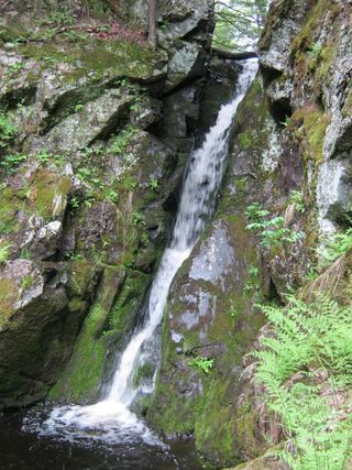 Gleason FallsVisitor route described; unmarked route and land permission not confirmedOntonagon County, MI5.4 miE
- Nonesuch FallsState park trail past mine ruins; Recreation PassportOntonagon County, MI11 miNW
- Bonanza FallsSigned lot and short path documentedOntonagon County, MI13 miNW
- Konteka FallsFirsthand route on the North Country Trail documented; distance not statedOntonagon County, MI14 miE
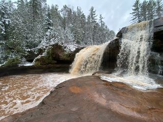 O Kun de Kun FallsResearched visit notesOntonagon County, MI14 miE
- Trap FallsState park trail route documented; distance derived from trail junction figuresOntonagon County, MI15 miNW
- Overlooked FallsShort published walk in a state parkOntonagon County, MI19 miW
- Greenstone FallsPublished route on a state park trail; distance not publishedOntonagon County, MI19 miW
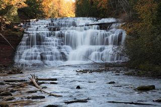 Agate FallsScenic site reopened; bridge-route repairs pendingOntonagon County, MI21 miSE