Gleason Falls
Ontonagon County, Michigan
Your visit at a glance
- Waterfall height
- Not recorded
- Location
- Ontonagon County, Michigan
- Access status
- Visitor route described; unmarked route and land permission not confirmed
- The walk
- About 0.7 mile one way (straight-line position from the road, per the guide author)
- Ground & access
- Logging roads, then off-trail travel along a creek that can be swampy, into a steep canyon.
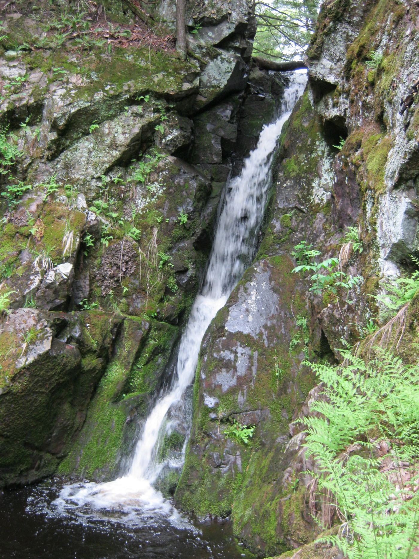
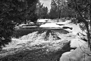
Gleason Falls is a sharp 10-foot drop in a deep canyon on Gleason Creek. Drive south on Norwich Road from M-64 for 12.5 miles, turn left on unmarked Victoria Road, and drive 3 miles east to park near a logging trail on the right, about 0.2 mile past Gleason Creek. Follow logging roads south roughly parallel to the creek, or follow the creek downstream if confused. The guide author says the canyon is best reached by bypassing the falls and doubling back. There is no marked trail, and land ownership is not stated.
Plan your visit
Victoria Road on Norwich Bluff, logging roads south along Gleason Creek
The guide author says the falls sit about 0.7 mile south of Victoria Road. The logging-road walk winds and its length is not published.
Logging roads, then off-trail travel along a creek that can be swampy, into a steep canyon.
Where to start
Roadside near a logging trail on the right side of Victoria Road, about 0.2 mile beyond Gleason Creek. Victoria Road is unimproved.
Timing & water
Small creek; flow is low much of the year.
Before you go
No fee information found. Land ownership and permission not confirmed.
Visitor informationVisit sources
More waterfalls nearby
Within 40 straight-line miles. Road and trail distances will differ.
- Cascade Creek FallsFirsthand route and national forest parking documentedOntonagon County, MI5.4 miW
- Konteka FallsFirsthand route on the North Country Trail documented; distance not statedOntonagon County, MI8.7 miE
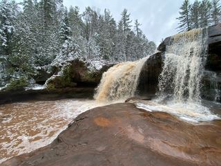 O Kun de Kun FallsResearched visit notesOntonagon County, MI8.8 miE
- Nonesuch FallsState park trail past mine ruins; Recreation PassportOntonagon County, MI15 miNW
- Bonanza FallsSigned lot and short path documentedOntonagon County, MI15 miNW
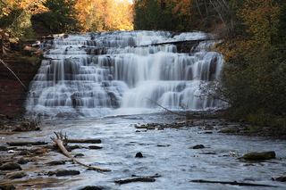 Agate FallsScenic site reopened; bridge-route repairs pendingOntonagon County, MI17 miSE
- Trap FallsState park trail route documented; distance derived from trail junction figuresOntonagon County, MI19 miNW
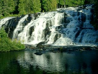 Bond FallsSource-reviewed route and parkingOntonagon County, MI20 miSE
 Upper Bond FallsState scenic site; staircase to the upper falls; Recreation PassportOntonagon County, MI20 miSE