Upper Bond Falls
Ontonagon County, Michigan
Your visit at a glance
- Waterfall height
- Not recorded
- Location
- Ontonagon County, Michigan
- Access status
- State scenic site; staircase to the upper falls; Recreation Passport
- The walk
- Short; no published distance
- Ground & access
- Paved accessible boardwalk at the lower falls; staircase to the upper falls.
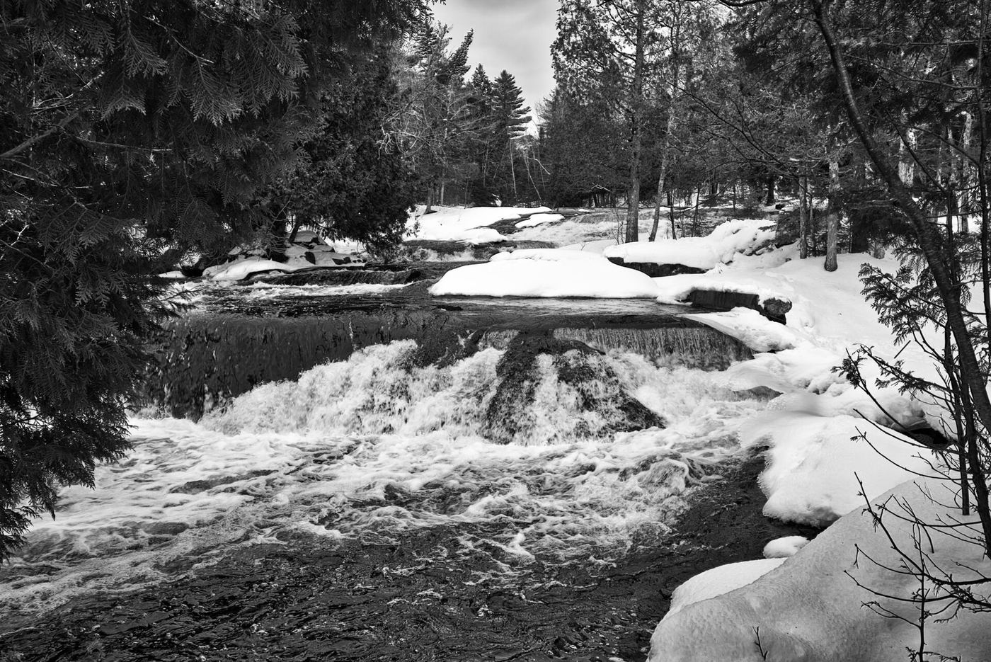
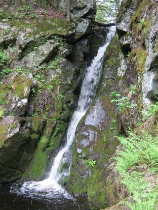
Upper Bond Falls is the series of cascades and rapids above the main 40-foot drop at Bond Falls on the Middle Branch of the Ontonagon River, a Michigan DNR scenic site. From US-45 at Paulding, go 2.5 miles east on Bond Falls Road. A paved, accessible path leads to the lower falls. The upper falls can be reached by the staircase next to the falls, or by parking on the road past the main parking area.
Plan your visit
Bond Falls Scenic Site on Bond Falls Road east of Paulding, by the staircase beside the falls or from the road past the main parking area
Neither source gives a walking distance to the upper falls. The map says the upper falls are reached by a staircase next to the falls or by parking on the road past the main lot.
Paved accessible boardwalk at the lower falls; staircase to the upper falls.
Where to start
Main parking area at the scenic site, or roadside parking past it for the upper falls.
Timing & water
The DNR says vehicle access is typically open mid-May through mid-October; the hiking trail is open year-round but not groomed for snow and ice.
Before you go
The DNR page lists a Recreation Passport as required for vehicle entry.
Visitor informationVisit sources
More waterfalls nearby
Within 40 straight-line miles. Road and trail distances will differ.
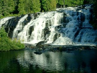 Bond FallsSource-reviewed route and parkingOntonagon County, MI0.0 miN
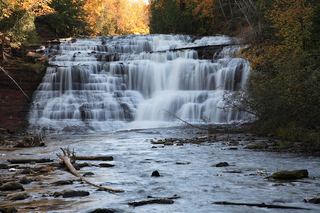 Agate FallsScenic site reopened; bridge-route repairs pendingOntonagon County, MI5.3 miN
- Kakabika FallsResearched route and starting areaGogebic County, MI16 miW
- Konteka FallsFirsthand route on the North Country Trail documented; distance not statedOntonagon County, MI17 miN
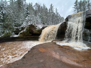 O Kun de Kun FallsResearched visit notesOntonagon County, MI17 miN
 Gleason FallsVisitor route described; unmarked route and land permission not confirmedOntonagon County, MI20 miNW
- Cascade Creek FallsFirsthand route and national forest parking documentedOntonagon County, MI22 miNW
- Sturgeon FallsResearched route and starting areaHoughton County, MI26 miNE
- Tibbets FallsFirsthand route and small parking area documented; rough two-trackBaraga County, MI28 miNE