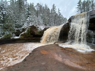
Kakabika Falls
Gogebic County, Michigan
Your visit at a glance
- Waterfall height
- Not recorded
- Location
- Gogebic County, Michigan
- Access status
- Researched route and starting area
- The walk
- Short walk; numeric length unknown.
- Ground & access
- Uneven ground and steep sections.
A short natural trail follows the river toward Kakabika Falls.
Plan your visit
Kakabika Falls trail from County Road 527 lot
Short walk; numeric length unknown.
Uneven ground and steep sections.
Where to start
Small parking area on County Road 527 about 0.75 mile north of US 2.
Timing & water
Year-round, 6 a.m. to 10 p.m. listing.
Before you go
No fee; reservation requirement not stated.
Visitor informationVisit sources
More waterfalls nearby
Within 40 straight-line miles. Road and trail distances will differ.
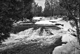 Upper Bond FallsState scenic site; staircase to the upper falls; Recreation PassportOntonagon County, MI16 miE
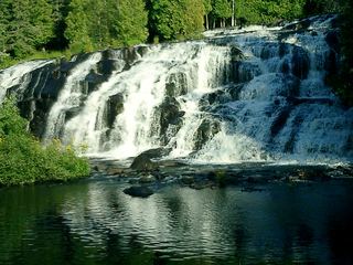 Bond FallsSource-reviewed route and parkingOntonagon County, MI16 miE
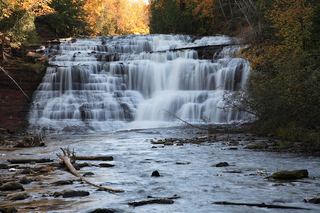 Agate FallsScenic site reopened; bridge-route repairs pendingOntonagon County, MI20 miNE
- Cascade Creek FallsFirsthand route and national forest parking documentedOntonagon County, MI22 miN
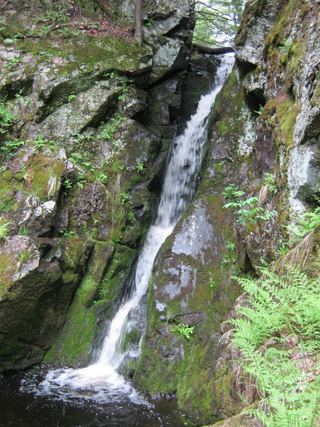 Gleason FallsVisitor route described; unmarked route and land permission not confirmedOntonagon County, MI24 miN
- Konteka FallsFirsthand route on the North Country Trail documented; distance not statedOntonagon County, MI26 miNE
 O Kun de Kun FallsResearched visit notesOntonagon County, MI26 miNE
- Nonesuch FallsState park trail past mine ruins; Recreation PassportOntonagon County, MI30 miN
- Overlooked FallsShort published walk in a state parkOntonagon County, MI32 miNW