Agate Falls
Ontonagon County, Michigan
Your visit at a glance
- Waterfall height
- Not recorded
- Location
- Ontonagon County, Michigan
- Access status
- Scenic site reopened; bridge-route repairs pending
- The walk
- 0.5-mile trail; return basis unclear
- Ground & access
- Accessible foot trail and observation platform; winter trails are not groomed for snow or ice.
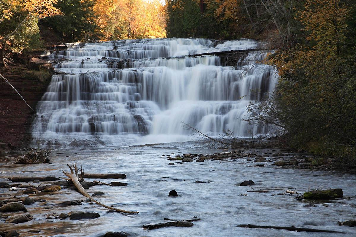
The scenic site has reopened. The platform overlooks the crest; the separate ORV and snowmobile bridge routes remain closed through winter.
Plan your visit
Agate Falls observation platform via M-28 tunnel
DNR calls this a half-mile trail without specifying one-way or round-trip.
Accessible foot trail and observation platform; winter trails are not groomed for snow or ice.
Where to start
Parking is at the adjacent MDOT roadside park on M-28.
Timing & water
Vehicle access is seasonal. DNR gives differing May–October date ranges; confirm before driving. Bridge-footing repairs are expected in 2027.
Before you go
Site-specific day-use fee is not established by the page’s general Recreation Passport notice.
Visitor informationVisit sources
More waterfalls nearby
Within 40 straight-line miles. Road and trail distances will differ.
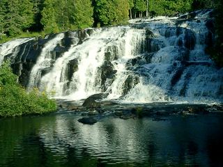 Bond FallsSource-reviewed route and parkingOntonagon County, MI5.3 miS
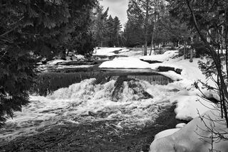 Upper Bond FallsState scenic site; staircase to the upper falls; Recreation PassportOntonagon County, MI5.3 miS
- Konteka FallsFirsthand route on the North Country Trail documented; distance not statedOntonagon County, MI12 miN
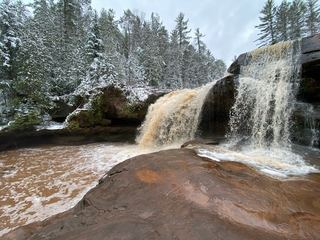 O Kun de Kun FallsResearched visit notesOntonagon County, MI12 miN
 Gleason FallsVisitor route described; unmarked route and land permission not confirmedOntonagon County, MI17 miNW
- Kakabika FallsResearched route and starting areaGogebic County, MI20 miSW
- Cascade Creek FallsFirsthand route and national forest parking documentedOntonagon County, MI21 miNW
- Sturgeon FallsResearched route and starting areaHoughton County, MI22 miNE
- Tibbets FallsFirsthand route and small parking area documented; rough two-trackBaraga County, MI25 miE