Ice
Alger County, Michigan
Your visit at a glance
- Waterfall height
- Not recorded
- Location
- Alger County, Michigan
- Access status
- Official winter ice viewing access; exact formation not confirmed
- The walk
- About 0.25 to 0.5 mile along the road, then uphill to the cliff base
- Ground & access
- No designated trails; snow-packed paths form over the winter. Uphill walk on snow and ice; traction devices advised.
This spot is on the inland cliffs between Munising Falls and Sand Point in Pictured Rocks National Lakeshore, where NPS says water seeping from the sandstone freezes into ice curtains 20 to 50 feet high in winter. Park at the Sand Point Beach lot and walk back along Sand Point Road 1/4 to 1/2 mile. Watch for signs on the left for ice viewing and climbing spots, then walk uphill to the base of the cliffs. Which ice formation this is has not been confirmed.
Plan your visit
Sand Point Beach parking lot, walk back along Sand Point Road to the inland cliffs
NPS: park at Sand Point Beach and walk back on the road 1/4 to 1/2 mile, then walk uphill to the escarpment. There are no designated trails.
No designated trails; snow-packed paths form over the winter. Uphill walk on snow and ice; traction devices advised.
Where to start
Sand Point Beach parking lot. Parking on the shoulder of Sand Point Road is prohibited.
Timing & water
Ice usually forms by mid-December and lasts until early April. Sand Point Road is the only park road plowed in winter.
Before you go
Pictured Rocks entrance pass required in all seasons: $25 per private vehicle for seven days. Pets are not allowed at the Sand Point ice climbing locations.
Visitor informationVisit sources
More waterfalls nearby
Within 40 straight-line miles. Road and trail distances will differ.
- Sweet Mother MosesAlger County, MI0.4 miNE
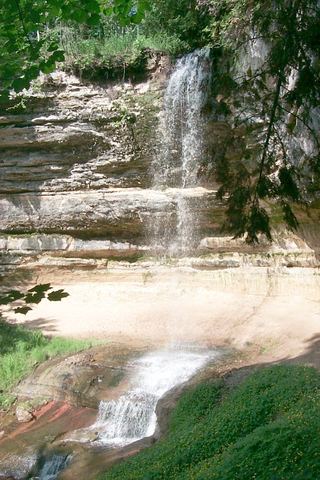 Munising FallsTrail closedAlger County, MI2.8 miSW
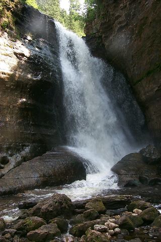 Miners FallsResearched visit notesAlger County, MI3.0 miNE
- Memorial FallsAlger County, MI3.3 miSW
- Olson FallsAlger County, MI3.3 miSW
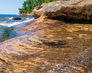 Elliot FallsOfficial park description of the walk to the fallsAlger County, MI4.0 miNE
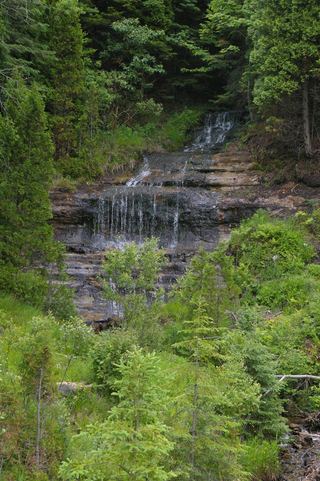 Alger FallsRoadside falls located; parking not confirmedAlger County, MI5.2 miSW
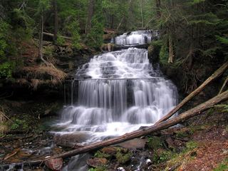 Wagner FallsOfficial scenic site trail and parking documentedAlger County, MI5.5 miSW
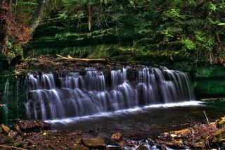 Mosquito FallsOfficial national lakeshore route, parking and fee documentedAlger County, MI6.7 miNE