Tahquamenon Falls (Upper Falls)
Luce County, Michigan
Your visit at a glance
- Waterfall height
- Not recorded
- Location
- Luce County, Michigan
- Access status
- Official state park viewpoints and boardwalk
- The walk
- Short walk; the boardwalk to the brink is 1,100 feet
- Ground & access
- Paved path and accessible boardwalk with switchback landings and benches; some stairs to other viewpoints.
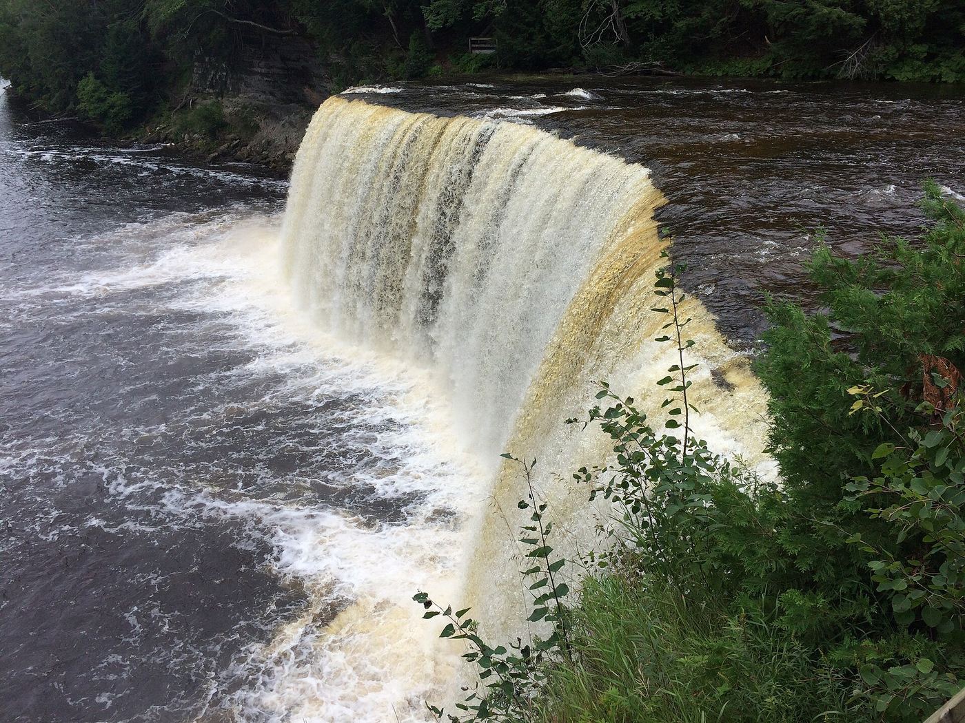
From the Upper Falls day-use area on M-123, follow the paved path to the accessible viewing platforms, or take the 1,100-foot accessible boardwalk through old-growth forest to the brink of the falls. Stairs lead to further viewpoints. The North Country Trail continues about four miles downstream to the Lower Falls.
Plan your visit
Upper Falls day-use area to the Upper Falls viewing platforms and boardwalk
Michigan DNR describes a new 1,100-foot accessible boardwalk to the Upper Falls and three accessible viewing platforms on a paved path. GoWaterfalling calls it a short walk from the lot.
Paved path and accessible boardwalk with switchback landings and benches; some stairs to other viewpoints.
Where to start
Upper Falls day-use area parking in Tahquamenon Falls State Park on M-123. Restrooms there are ADA-accessible.
Timing & water
Michigan DNR says the park is open year-round. Drone use is prohibited over the viewing platforms.
Before you go
Michigan Recreation Passport required for vehicle entry, per Michigan DNR. A fee-based shuttle links the Upper and Lower Falls in season.
Visitor informationVisit sources
More waterfalls nearby
Within 40 straight-line miles. Road and trail distances will differ.