Chapel Falls
Alger County, Michigan
Your visit at a glance
- Waterfall height
- Not recorded
- Location
- Alger County, Michigan
- Access status
- National lakeshore trail; entrance pass required
- The walk
- About 1.25 miles one way, 2.5 miles return
- Ground & access
- Easy, on an old roadbed. Steep drop-offs along the gorge.
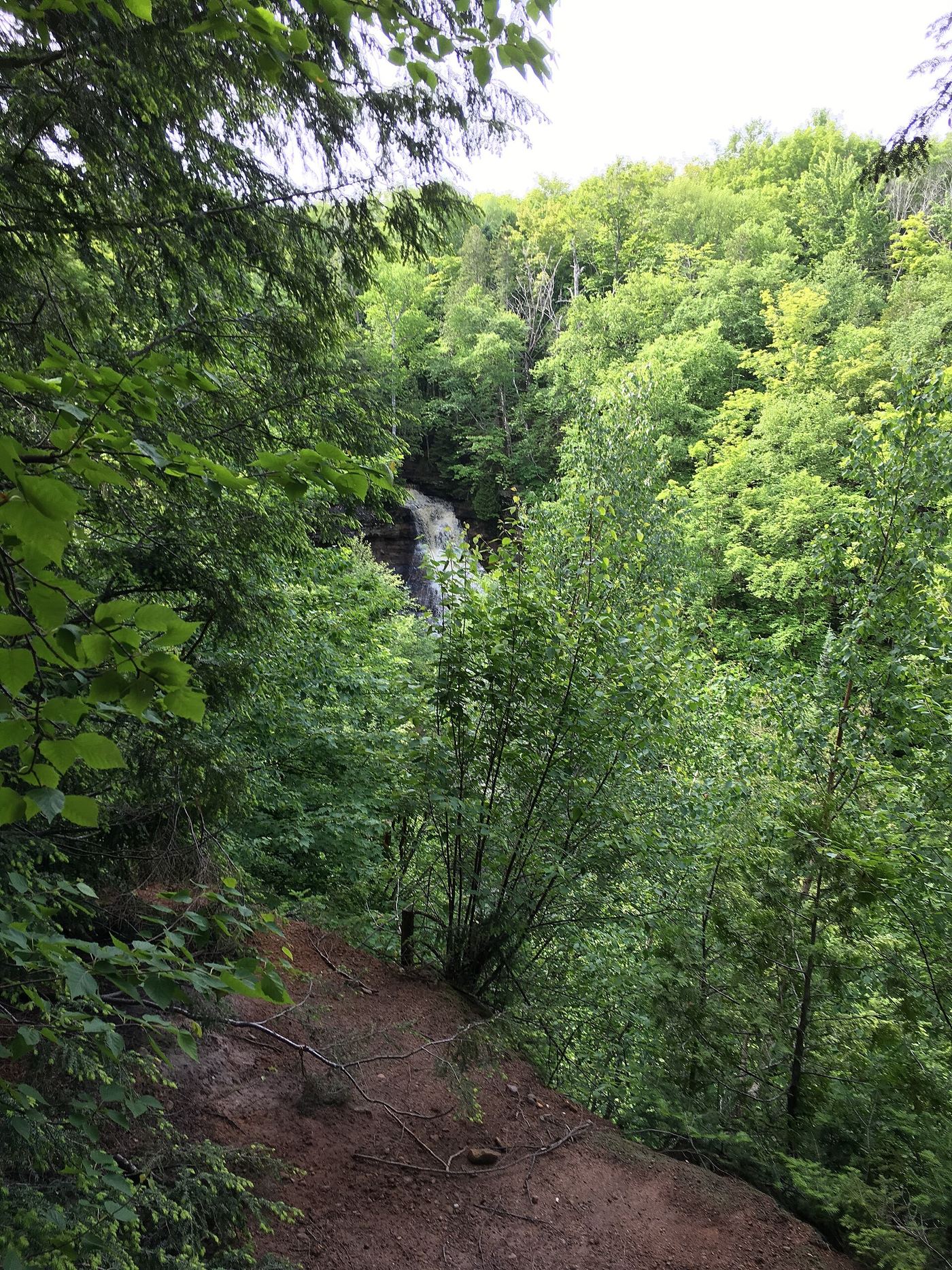
Photo credit
Photo: NPS, Public domain, via Wikimedia CommonsChapel Falls is a 60-foot waterfall on Section Creek in Pictured Rocks National Lakeshore. From the Chapel parking lot, the trail follows an old roadbed through upland maple forest along the gorge to the falls. The trail crosses the creek just above the falls, and the best view is from a platform on the far side. The trail continues about 2 miles more to Chapel Rock and Chapel Beach.
Plan your visit
Chapel parking lot at the end of Chapel Road, Pictured Rocks National Lakeshore, on the old roadbed trail to Chapel Falls
The National Park Service lists the Chapel Falls hike as 2.5 miles roundtrip from the Chapel parking lot.
Easy, on an old roadbed. Steep drop-offs along the gorge.
Where to start
Chapel parking lot at the trailhead, reached from H-58 east of Munising by a rough dirt road signed Chapel Area. Stay right at the fork.
Timing & water
Flow drops through the summer. Chapel Road is rough and bumpy.
Before you go
Pictured Rocks requires an entrance pass; the standard pass is listed at $15 to $25. Pets are not allowed on this trail.
Visitor informationVisit sources
More waterfalls nearby
Within 40 straight-line miles. Road and trail distances will differ.
- Chapel Beach FallsPublished trail route to a beach falls; published distances differAlger County, MI1.3 miN
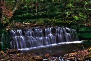 Mosquito FallsOfficial national lakeshore route, parking and fee documentedAlger County, MI1.8 miSW
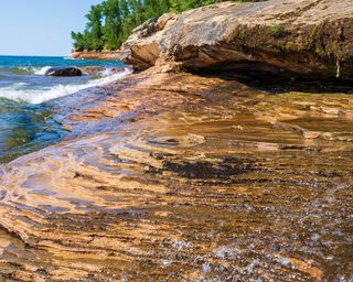 Elliot FallsOfficial park description of the walk to the fallsAlger County, MI4.6 miSW
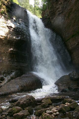 Miners FallsResearched visit notesAlger County, MI5.6 miSW
- Sweet Mother MosesAlger County, MI8.2 miSW
- IceOfficial winter ice viewing access; exact formation not confirmedAlger County, MI8.5 miSW
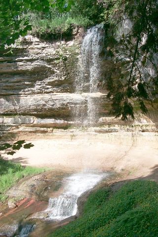 Munising FallsTrail closedAlger County, MI11 miSW
- Memorial FallsAlger County, MI12 miSW
- Olson FallsAlger County, MI12 miSW