Chapel Beach Falls
Alger County, Michigan
Your visit at a glance
- Waterfall height
- Not recorded
- Location
- Alger County, Michigan
- Access status
- Published trail route to a beach falls; published distances differ
- The walk
- About 3 to 3.7 miles one way; published figures differ
- Ground & access
- Trail on an old roadbed with small hills, then forest trail to the lakeshore. Can be muddy.
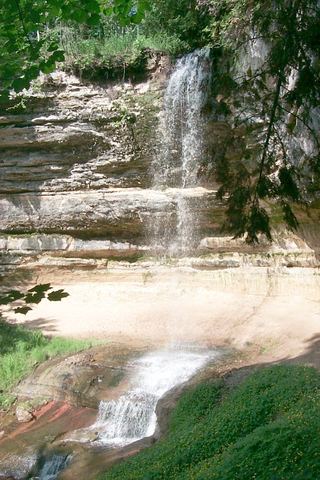
From the parking lot at the end of Chapel Road, take the trail toward Chapel Lake and Chapel Falls. Continue past Chapel Falls to Lake Superior near Chapel Rock. Follow the shoreline trail a short distance to the left to Chapel Beach, where Chapel Creek slides over sandstone into the lake. Return the same way or continue on the park loop.
Plan your visit
Chapel trailhead past Chapel Falls to Chapel Beach and the falls at Chapel Creek
Trail write-ups give about 3 miles to Chapel Beach. Adding the NPS figure of 1.2 miles to Chapel Falls and the Waterfalls of the Keweenaw figure of about 2.5 more miles gives about 3.7 miles. Check the park map.
Trail on an old roadbed with small hills, then forest trail to the lakeshore. Can be muddy.
Where to start
Trailhead lot at the end of Chapel Road, about 5 miles north of H-58. NPS says the road is primitive with potholes and washouts, and the limited lot fills quickly in summer.
Timing & water
Pets are prohibited on all trails in the Chapel area. Chapel Road conditions vary; check park alerts.
Before you go
Pictured Rocks entrance fees apply to all visitors aged 16 and older.
Visitor informationVisit sources
More waterfalls nearby
Within 40 straight-line miles. Road and trail distances will differ.
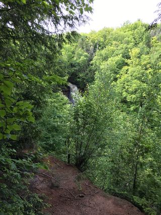 Chapel FallsNational lakeshore trail; entrance pass requiredAlger County, MI1.3 miS
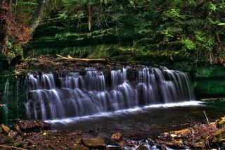 Mosquito FallsOfficial national lakeshore route, parking and fee documentedAlger County, MI2.9 miSW
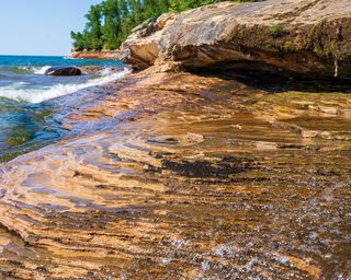 Elliot FallsOfficial park description of the walk to the fallsAlger County, MI5.5 miSW
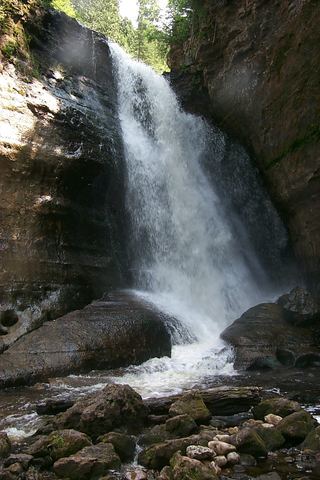 Miners FallsResearched visit notesAlger County, MI6.7 miSW
- Sweet Mother MosesAlger County, MI9.2 miSW
- IceOfficial winter ice viewing access; exact formation not confirmedAlger County, MI9.5 miSW
 Munising FallsTrail closedAlger County, MI12 miSW
- Memorial FallsAlger County, MI13 miSW
- Olson FallsAlger County, MI13 miSW