Middle Hungarian Falls
Houghton County, Michigan
Your visit at a glance
- Waterfall height
- Not recorded
- Location
- Houghton County, Michigan
- Access status
- Source-reviewed route and parking
- The walk
- Exact middle-falls round-trip distance not published in reviewed sources
- Ground & access
- Rustic, rooted paths and exposed cliffs without continuous barriers. Viewing from below involves a challenging rocky descent; remain on established main paths and avoid cliff edges.
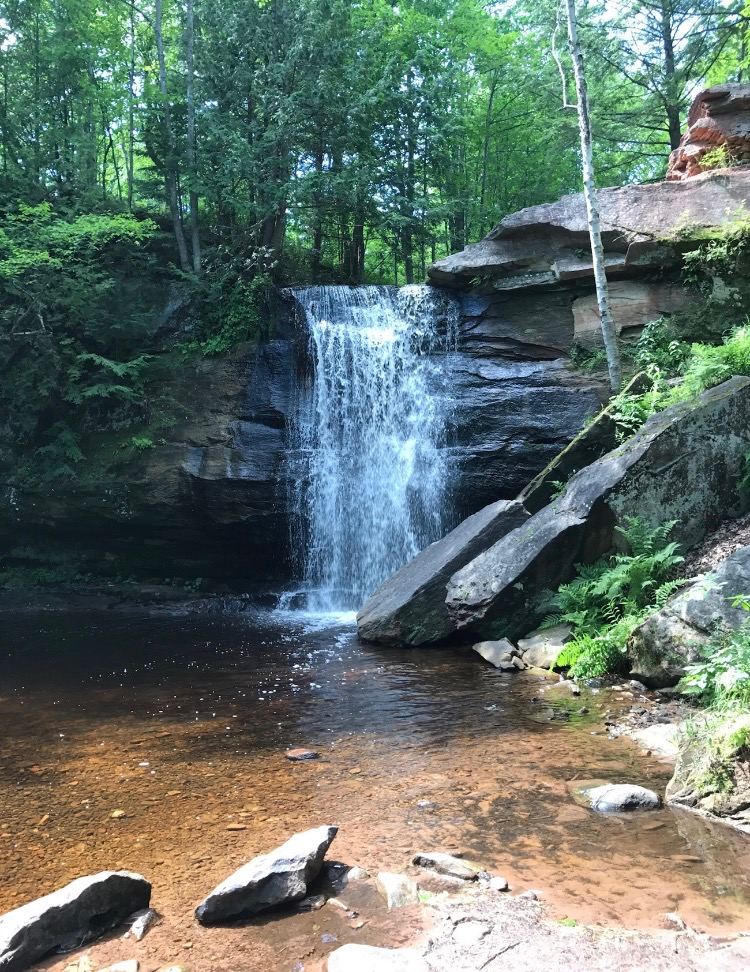
Walk the rough access track from Golf Course Road to its T-junction, then take the downstream path beside Dover Creek to Middle Hungarian Falls. Visit Keweenaw describes reaching the middle drop after a few hundred yards downstream. Return along the same path. The land-trust map labels the middle waterfall separately from the upper waterfall and dam.
Plan your visit
Golf Course Road access track to downstream Middle Hungarian Falls path
Only the stated source distance is supported; mapped proximity is not a walking distance.
Rustic, rooted paths and exposed cliffs without continuous barriers. Viewing from below involves a challenging rocky descent; remain on established main paths and avoid cliff edges.
Where to start
Keweenaw Land Trust directs summer visitors to park along Golf Course Road near the nature-area sign, approximately 47.173159, -88.444743. From Tamarack City take 6th Street, then the left fork onto Golf Course Road and climb about 0.5 mile. Its current page says cars should not drive the rugged access track.
Timing & water
Open year-round, but Golf Course Road is seasonal and unplowed in winter. The summer shoulder parking description is not a winter road-access guarantee.
Before you go
Visit Keweenaw states the falls are open to the public free of charge.
Visitor informationVisit sources
More waterfalls nearby
Within 40 straight-line miles. Road and trail distances will differ.
 Lower Hungarian FallsVerified approach to the upper edge; restricted view of Lower FallsHoughton County, MI0.0 miSE
 Upper Hungarian FallsVerified approach to the upper viewpoint; distance unknownHoughton County, MI0.2 miNW
 Houghton-Douglass FallsConstruction incomplete; waterfall approach undeveloped110 ft (33.5 m) · Houghton County, MI2.6 miN
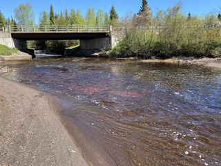 Tobacco FallsRoadside park; low dropsKeweenaw County, MI15 miE
- Ten Foot FallsRoadside falls; land permission not confirmedKeweenaw County, MI17 miNE
 Eagle River FallsRoadside bridge viewpoint documentedKeweenaw County, MI18 miNE
- Jacobs FallsRoadside falls; optional creek climbKeweenaw County, MI20 miNE
- Haven FallsCounty park; falls visible from the roadKeweenaw County, MI24 miNE
- Slate FallsVisitor directions only; exact drop and land permission not confirmedBaraga County, MI25 miS