Ocqueoc Falls
Presque Isle County, Michigan
Your visit at a glance
- Waterfall height
- Not recorded
- Location
- Presque Isle County, Michigan
- The walk
- Paved approach; measured distance not confirmed
- Ground & access
- Michigan DNR identifies an accessible picnic area, benches and paved approach. River ledges and cobbles are slippery, especially during higher spring water; the walking access does not make entering the water risk-free.
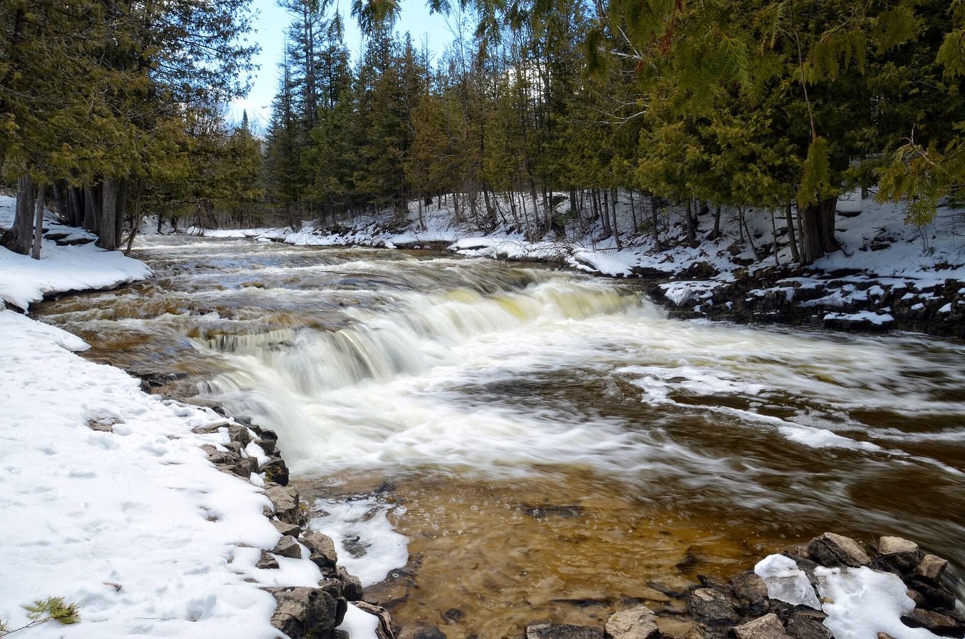
Use the day-use area across the road from Ocqueoc Falls State Forest Campground, then follow the paved path to the falls.
Plan your visit
Paved path from Ocqueoc Falls day-use parking
The official source confirms the parking-to-waterfall path but gives no length for it. The approximately six-mile trail network is not the required waterfall approach.
Michigan DNR identifies an accessible picnic area, benches and paved approach. River ledges and cobbles are slippery, especially during higher spring water; the walking access does not make entering the water risk-free.
Where to start
Follow signs from M-68 to Ocqueoc River Falls Day Use Area, just north of the highway between Rogers City and Onaway. The falls picnic area and path are across the road from the campground.
Timing & water
Check current access and conditions before travel; the reviewed source does not establish a reliable visiting season.
Before you go
The DNR campground page requires a Recreation Passport for vehicle entry to state forest campgrounds. Confirm the current day-use parking requirement before travel.
Visitor informationVisit sources
More waterfalls nearby
Within 40 straight-line miles. Road and trail distances will differ.
No other mapped waterfalls within 40 miles.