Potawatomi Falls
Gogebic County, Michigan
Your visit at a glance
- Waterfall height
- Not recorded
- Location
- Gogebic County, Michigan
- Access status
- Partial platform closures at Potawatomi Falls
- The walk
- Short walk; distance not stated
- Ground & access
- USFS describes this trail and platform as accessible; availability during repairs needs confirmation.
An asphalt trail from the southern edge of Gorge parking lot reaches the Potawatomi Falls viewing platform. Some platforms are closed.
Plan your visit
Potawatomi Falls accessible viewing trail from Gorge parking lot
No length is provided for the accessible viewing route.
USFS describes this trail and platform as accessible; availability during repairs needs confirmation.
Where to start
Use the shared double-loop paved Potawatomi/Gorge lot on FR 112 off CR 513.
Timing & water
Checked 2026-10-27: May 15, 2026 USFS notice lists Potawatomi open with some platform closures. Repairs across the corridor are expected through fall 2027.
Before you go
No fees required; day use from sunrise to sunset.
Visitor informationVisit sources
More waterfalls nearby
Within 40 straight-line miles. Road and trail distances will differ.
- Gorge FallsPartial closures at Gorge Falls viewing facilitiesGogebic County, MI0.1 miNE
- Great Conglomerate FallsRepairs in progress; tread and stair cautionGogebic County, MI0.5 miS
- Sandstone FallsClosed for construction since May 18, 2026Gogebic County, MI1.1 miN
- Rainbow FallsRepairs in progress; possible trail and platform closuresGogebic County, MI1.5 miN
- Algonquin FallsGogebic County, MI1.8 miSW
- Iagoo FallsGogebic County, MI5.5 miE
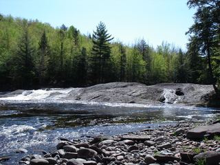 Lepisto FallsPublished trail route with distancesGogebic County, MI5.5 miE
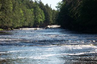 Nawadaha FallsPublished loop route in a state park scenic areaGogebic County, MI5.7 miNE
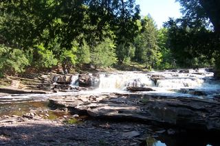 Manido FallsPublished route in a state park scenic areaGogebic County, MI6.0 miNE