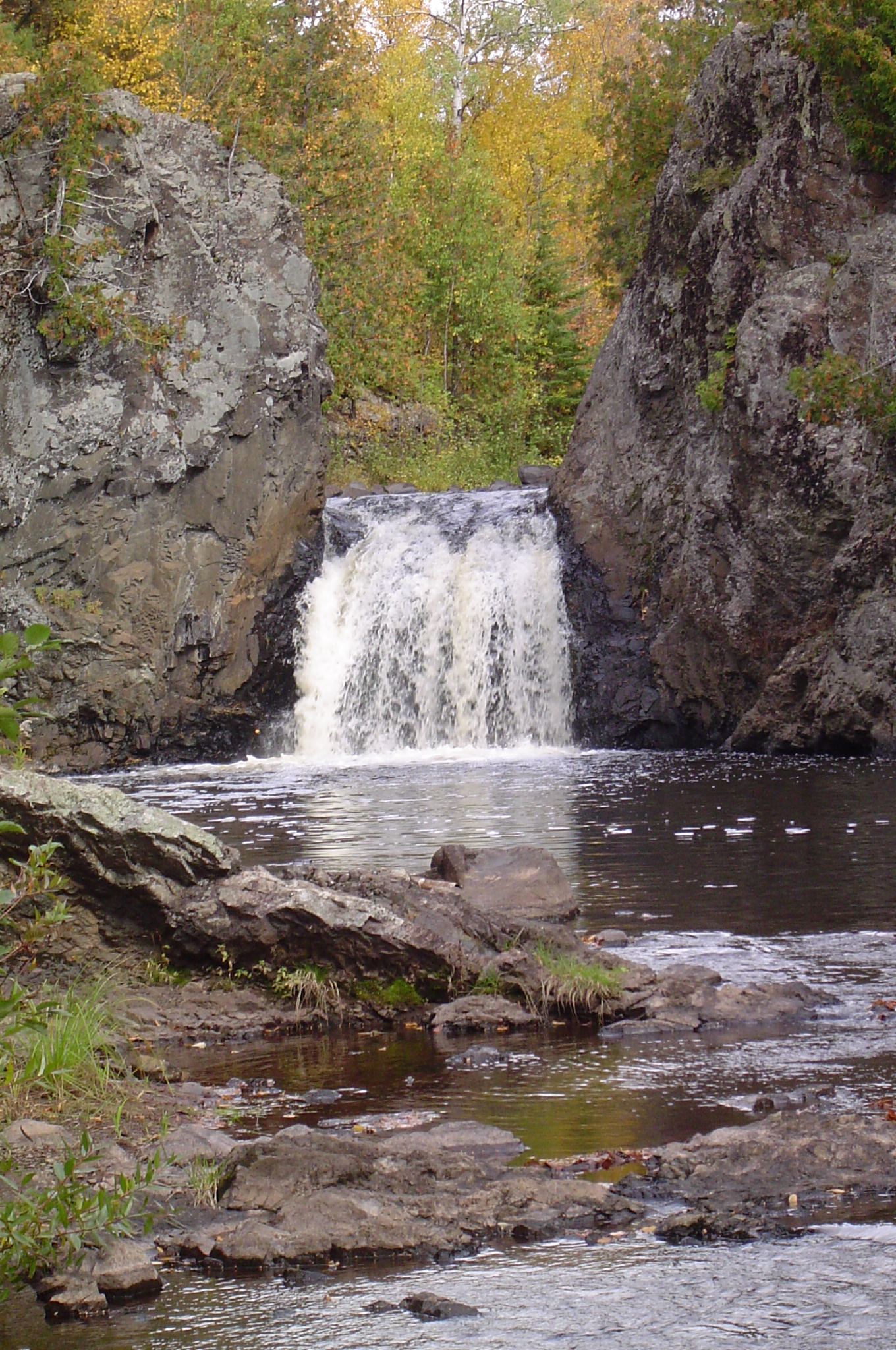
Waterfalls near Ironwood, MI
31 named waterfalls within 30 miles of Ironwood, closest first. Distances are straight-line from the town center.
Visits with route details
Read the walking route, starting point and current access notes.
- Interstate FallsPublished short trail to a viewing platformGogebic County, MI
- Upson FallsTown park with a short trail to the fallsIron County, WI
- Great Conglomerate FallsRepairs in progress; tread and stair cautionGogebic County, MI
- Superior FallsPower company site open to the public; short walkGogebic County, MI
- Superior FallsResearched walking routeGogebic County, MI
- Potawatomi FallsPartial platform closures at Potawatomi FallsGogebic County, MI
- Foster FallsCounty forest road to a parking area near the fallsIron County, WI
- Gorge FallsPartial closures at Gorge Falls viewing facilitiesGogebic County, MI
- Sandstone FallsClosed for construction since May 18, 2026Gogebic County, MI
- Rainbow FallsRepairs in progress; possible trail and platform closuresGogebic County, MI
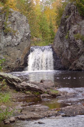 Wren FallsRough forest road to a trail parking area and an overlook above the fallsIron County, WI
- Upper Potato River FallsCounty park trail to an observation deckIron County, WI
- Lower Potato River FallsCounty park stair trail to a deck facing the lower fallsIron County, WI
 Lepisto FallsPublished trail route with distancesGogebic County, MI
 Nawadaha FallsPublished loop route in a state park scenic areaGogebic County, MI
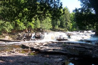 Manido FallsPublished route in a state park scenic areaGogebic County, MI
- Manabezho FallsState park parking and stair route documentedGogebic County, MI
- CascadesPartial guide: state park trail; exact feature not confirmedAshland County, WI
- Brownstone FallsState park loop trail with overlooks of the fallsAshland County, WI
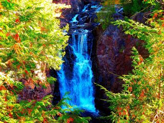 Copper FallsPavilion parking and waterfall loop researchedAshland County, WI
- Trappers FallsPublished backcountry route in a state parkGogebic County, MI
- Explorers FallsBackcountry trail in a state park; Recreation PassportGogebic County, MI
- Red Granite FallsState park gravel trail to rapids on the Bad RiverAshland County, WI
- Greenstone FallsPublished route on a state park trail; distance not publishedOntonagon County, MI
- Overlooked FallsShort published walk in a state parkOntonagon County, MI
- Shining Cloud FallsPublished backcountry route in a state parkOntonagon County, MI
- Bathtub FallsBackcountry hike in a state park; distance to this falls not publishedOntonagon County, MI
Closest with a photo
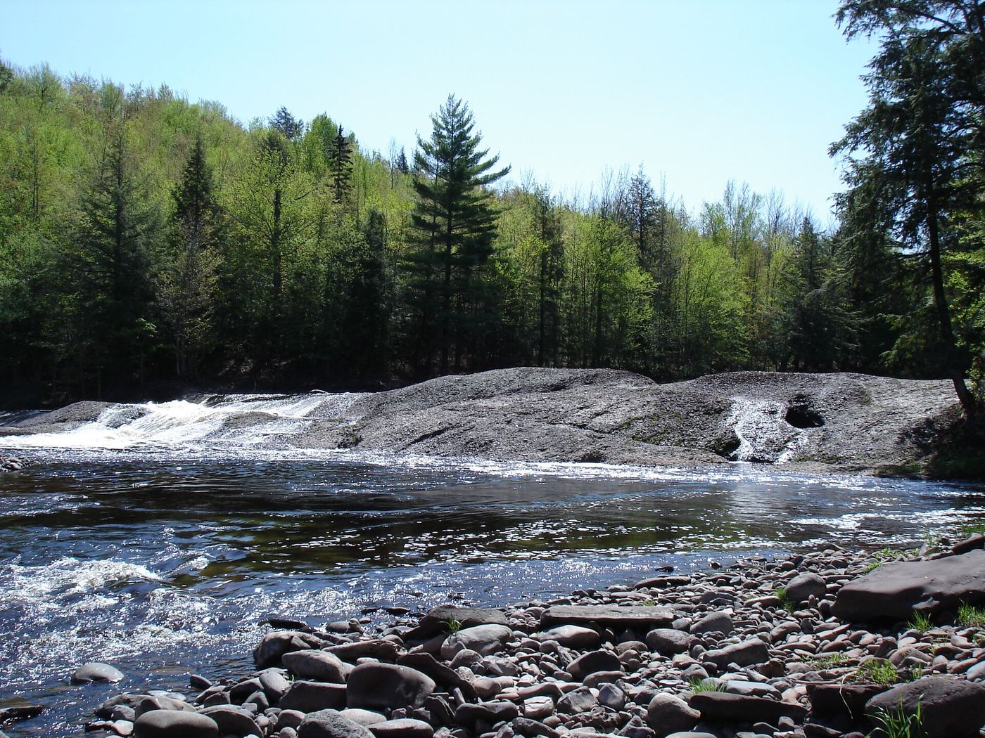
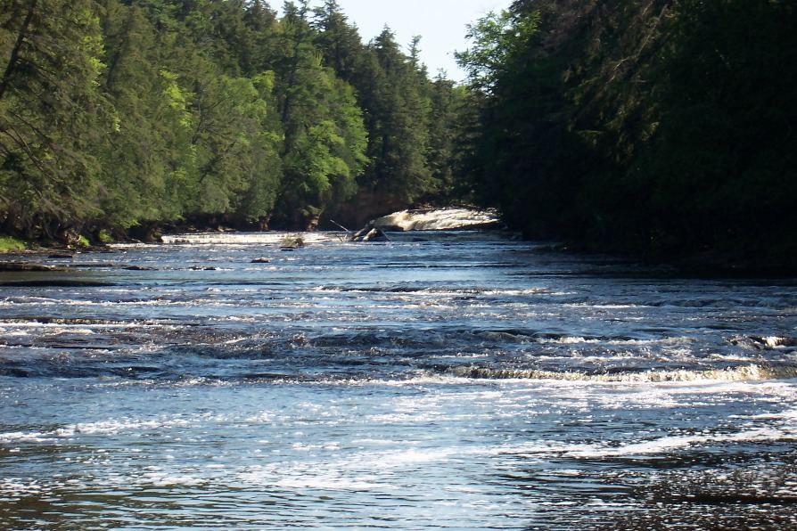
All 31 waterfalls
- Interstate FallsPublished short trail to a viewing platformGogebic County, MI1.9 miNW
- Saxon Falls RoadIron County, WI11 miNW
- Algonquin FallsGogebic County, MI12 miN
- Upson FallsTown park with a short trail to the fallsIron County, WI13 miSW
- Great Conglomerate FallsRepairs in progress; tread and stair cautionGogebic County, MI13 miNE
- Superior FallsPower company site open to the public; short walkGogebic County, MI14 miNW
- Superior FallsResearched walking routeGogebic County, MI14 miNW
- Potawatomi FallsPartial platform closures at Potawatomi FallsGogebic County, MI14 miNE
- Foster FallsCounty forest road to a parking area near the fallsIron County, WI14 miW
- Gorge FallsPartial closures at Gorge Falls viewing facilitiesGogebic County, MI14 miNE
- Sandstone FallsClosed for construction since May 18, 2026Gogebic County, MI15 miNE
- Rainbow FallsRepairs in progress; possible trail and platform closuresGogebic County, MI15 miNE
- Wren FallsRough forest road to a trail parking area and an overlook above the fallsIron County, WI16 miW
- Upper Potato River FallsCounty park trail to an observation deckIron County, WI17 miW
- Lower Potato River FallsCounty park stair trail to a deck facing the lower fallsIron County, WI17 miW
- Lepisto FallsPublished trail route with distancesGogebic County, MI18 miNE
- Iagoo FallsGogebic County, MI18 miNE
- Nawadaha FallsPublished loop route in a state park scenic areaGogebic County, MI19 miNE
- Manido FallsPublished route in a state park scenic areaGogebic County, MI20 miNE
- Manabezho FallsState park parking and stair route documentedGogebic County, MI20 miNE
- CascadesPartial guide: state park trail; exact feature not confirmedAshland County, WI23 miW
- Brownstone FallsState park loop trail with overlooks of the fallsAshland County, WI23 miW
- Copper FallsPavilion parking and waterfall loop researchedAshland County, WI23 miW
- Trappers FallsPublished backcountry route in a state parkGogebic County, MI24 miNE
- Explorers FallsBackcountry trail in a state park; Recreation PassportGogebic County, MI24 miNE
- Trader's FallsGogebic County, MI24 miNE
- Red Granite FallsState park gravel trail to rapids on the Bad RiverAshland County, WI25 miW
- Greenstone FallsPublished route on a state park trail; distance not publishedOntonagon County, MI25 miNE
- Overlooked FallsShort published walk in a state parkOntonagon County, MI25 miNE
- Shining Cloud FallsPublished backcountry route in a state parkOntonagon County, MI25 miNE
- Bathtub FallsBackcountry hike in a state park; distance to this falls not publishedOntonagon County, MI26 miNE