Cascades
Ashland County, Wisconsin
Your visit at a glance
- Waterfall height
- Not recorded
- Location
- Ashland County, Wisconsin
- Access status
- Partial guide: state park trail; exact feature not confirmed
- The walk
- 0.5-mile universal trail section; the full Doughboys Nature Trail loop is 1.7 miles
- Ground & access
- The universal section has a crushed granite surface. The rest of the loop has rock stairs.
The Wisconsin DNR says the Doughboys Nature Trail in Copper Falls State Park follows the Bad River and Tyler Forks with views of Copper Falls, Brownstone Falls and the Tyler Forks cascades. This listing is probably the Tyler Forks cascades; the exact feature is not confirmed. The 0.5-mile universal section of the trail starts from an accessible trailhead on the park access road and includes a historic CCC bridge over the Tyler Forks cascades. The full 1.7-mile loop starts near the concession building in the main picnic area.
Plan your visit
Copper Falls State Park: the universal section of the Doughboys Nature Trail from the access road, which crosses the Tyler Forks cascades on a historic CCC bridge
The Wisconsin DNR gives 0.5 mile for the universal trail section and 1.7 miles for the Doughboys Nature Trail loop. Neither figure is a distance to the cascades alone.
The universal section has a crushed granite surface. The rest of the loop has rock stairs.
Where to start
The universal trail has an accessible trailhead on the park access road. The full loop starts at the main picnic area near the concession building. A specific parking lot is not described.
Timing & water
Part of the Doughboys Nature Trail closes in winter because ice and snow make the rock stairs very slippery.
Before you go
A vehicle admission sticker is required. Pets are not allowed on the Doughboys Nature Trail.
Visitor informationVisit sources
More waterfalls nearby
Within 40 straight-line miles. Road and trail distances will differ.
- Brownstone FallsState park loop trail with overlooks of the fallsAshland County, WI0.1 miNW
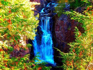 Copper FallsPavilion parking and waterfall loop researchedAshland County, WI0.2 miSW
- Red Granite FallsState park gravel trail to rapids on the Bad RiverAshland County, WI2.2 miSW
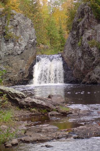 Wren FallsRough forest road to a trail parking area and an overlook above the fallsIron County, WI6.4 miE
- Upper Potato River FallsCounty park trail to an observation deckIron County, WI7.8 miNE
- Lower Potato River FallsCounty park stair trail to a deck facing the lower fallsIron County, WI7.8 miNE
- Foster FallsCounty forest road to a parking area near the fallsIron County, WI9.1 miE
- Upson FallsTown park with a short trail to the fallsIron County, WI11 miE
- Morgan FallsConstruction through October 31, 2026; site remains openAshland County, WI13 miW