Wren Falls
Iron County, Wisconsin
Your visit at a glance
- Waterfall height
- Not recorded
- Location
- Iron County, Wisconsin
- Access status
- Rough forest road to a trail parking area and an overlook above the falls
- The walk
- Distance from the Wren Falls Road parking area to the overlook is not stated; Go Waterfalling says walking in from the end of Vogues Road is about 1.5 miles
- Ground & access
- Rough forest roads and a steep descent from the overlook to the base. Be careful near the falls, especially with children.
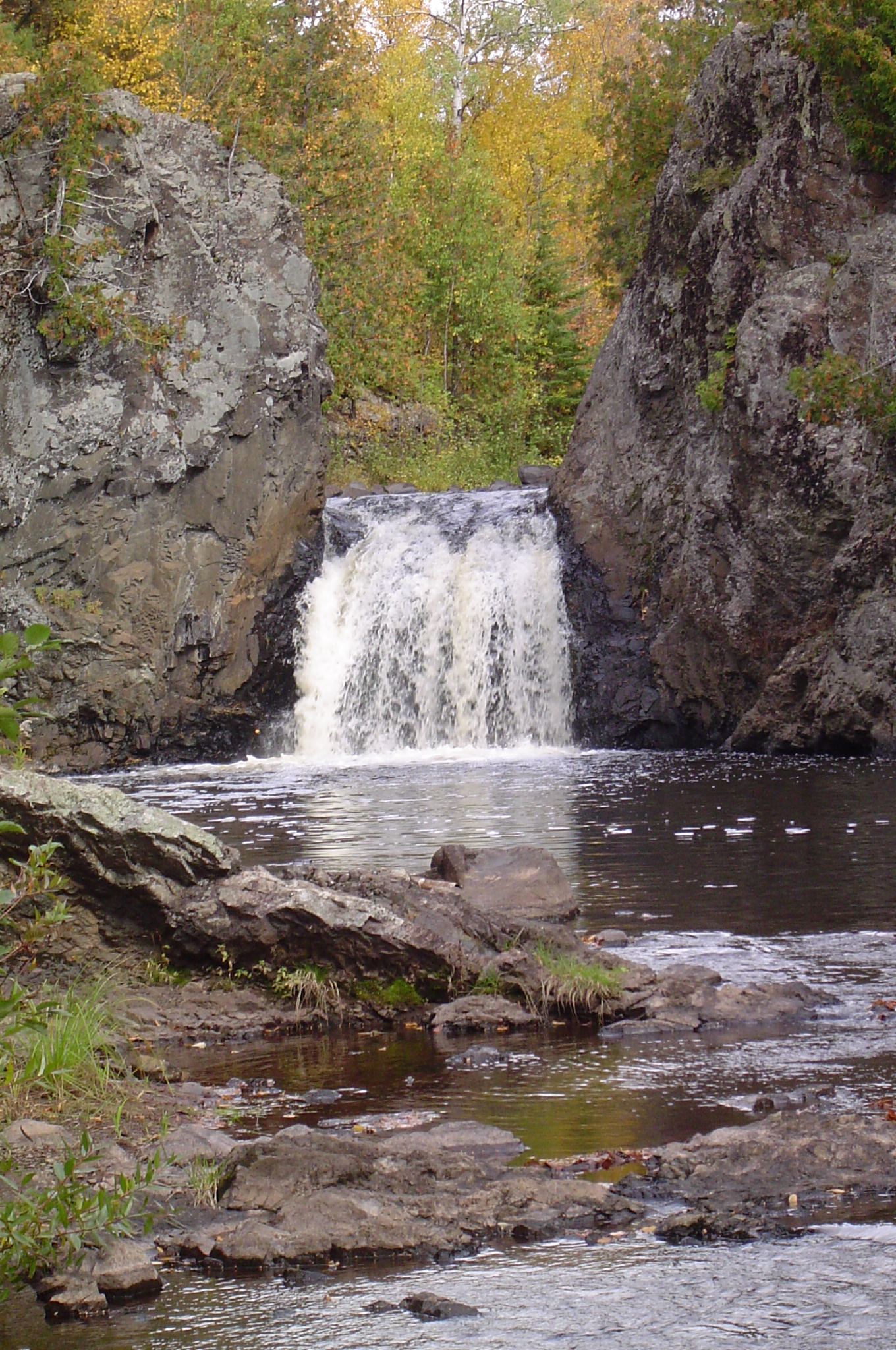
Wren Falls is a 12-foot falls on the Tyler Forks in the woods of Iron County, about 6 miles south of Gurney. From Highway 169, turn onto Vogues Road and follow it 3.6 miles to a hairpin turn where it meets Casey Sag Road. A rough two-track heads south toward the falls; it is only one vehicle wide with no room to pass, and drivers of low cars may prefer to walk. From the Wren Falls Road parking area, take the forest road to the right up a small hill and continue to the Wren Falls Overlook, about 100 feet above the falls. A steep descent leads to the base of the falls. The North Country Trail continues around the escarpment and crosses the Tyler Forks on the Bill Thomas Memorial Bridge. Return the same way.
Plan your visit
Vogues Road from Highway 169 and the rough forest road toward the falls to the Wren Falls Road parking area, then the forest road to the right up a small hill to the Wren Falls Overlook above the Tyler Forks
The North Country Trail Association gives 3.6 miles out and back from the Wren Falls parking area to Porcupine Hill, a longer outing past the falls. No separate distance to the overlook is given. Go Waterfalling says visitors without a high-clearance vehicle may need to hike about 1.5 miles to the falls.
Rough forest roads and a steep descent from the overlook to the base. Be careful near the falls, especially with children.
Where to start
Wren Falls Road parking area, no services. The forest roads leading in can be rough at certain times of year; Go Waterfalling says the final two-track suits ATVs or high-clearance vehicles.
Timing & water
The forest roads can be rough at certain times of year. No other season limits are stated.
Before you go
No fee is mentioned.
Visitor informationVisit sources
- North Country Trail Association: Top NCT Hikes in Wisconsin
- North Country Trail Association: Top NCT Hikes in Wisconsin
- North Country Trail Association: Top NCT Hikes in Wisconsin
- North Country Trail Association: Top NCT Hikes in Wisconsin
- North Country Trail Association: Top NCT Hikes in Wisconsin
- North Country Trail Association: Top NCT Hikes in Wisconsin
- Go Waterfalling: Wren Falls
- Go Waterfalling: Wren Falls
- Go Waterfalling: Wren Falls
- Go Waterfalling: Wren Falls
- Go Waterfalling: Wren Falls
- Go Waterfalling: Wren Falls
More waterfalls nearby
Within 40 straight-line miles. Road and trail distances will differ.
- Foster FallsCounty forest road to a parking area near the fallsIron County, WI2.9 miNE
- Upper Potato River FallsCounty park trail to an observation deckIron County, WI4.5 miN
- Lower Potato River FallsCounty park stair trail to a deck facing the lower fallsIron County, WI4.6 miN
- Upson FallsTown park with a short trail to the fallsIron County, WI4.9 miSE
- CascadesPartial guide: state park trail; exact feature not confirmedAshland County, WI6.4 miW
- Brownstone FallsState park loop trail with overlooks of the fallsAshland County, WI6.4 miW
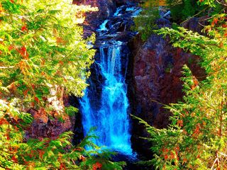 Copper FallsPavilion parking and waterfall loop researchedAshland County, WI6.6 miW
- Red Granite FallsState park gravel trail to rapids on the Bad RiverAshland County, WI8.2 miSW
- Saxon Falls RoadIron County, WI11 miNE