Copper Falls
Ashland County, Wisconsin
Your visit at a glance
- Waterfall height
- Not recorded
- Location
- Ashland County, Wisconsin
- Access status
- Pavilion parking and waterfall loop researched
- The walk
- 1.7-mile loop
- Ground & access
- Rock stairs; a separate crushed-granite accessible section is described by DNR.
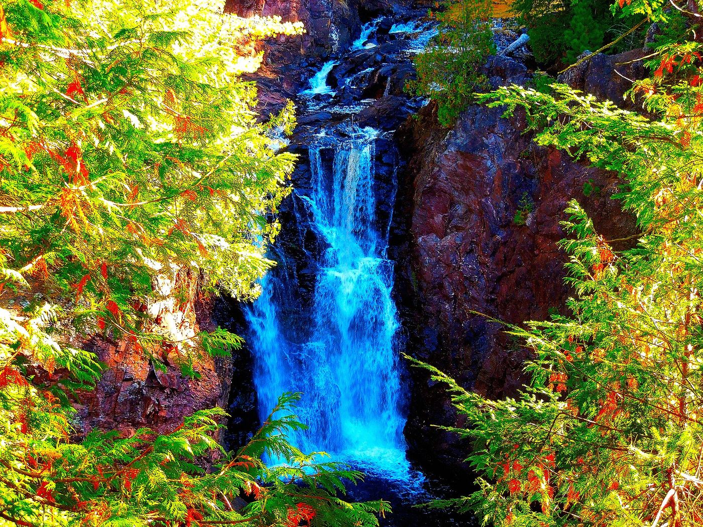
From the pavilion follow Doughboys Trail to the right, initially staying on the near side of the Bad River bridge. Continue along the gorge to the waterfall viewpoints and follow the loop back to the pavilion. The full loop includes steep descent and ascent; pets are prohibited.
Plan your visit
Doughboys Nature Trail
DNR describes the entire 1.7-mile route as a loop, including views of Copper and Brownstone Falls.
Rock stairs; a separate crushed-granite accessible section is described by DNR.
Where to start
Use the Copper Falls Pavilion parking area at the Doughboys trailhead inside the state park. The North Country Trail Association gives the trailhead position as 46.371800, -90.642900 and lists restrooms, water and concessions. State park vehicle admission applies.
Timing & water
Part of the loop closes in winter because of icy rock stairs.
Before you go
A vehicle admission sticker is required. Current price and day-hike reservation policy not verified.
Visitor informationVisit sources
More waterfalls nearby
Within 40 straight-line miles. Road and trail distances will differ.
- Brownstone FallsState park loop trail with overlooks of the fallsAshland County, WI0.2 miNE
- CascadesPartial guide: state park trail; exact feature not confirmedAshland County, WI0.2 miNE
- Red Granite FallsState park gravel trail to rapids on the Bad RiverAshland County, WI2.0 miSW
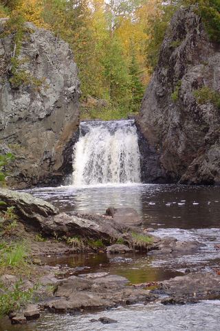 Wren FallsRough forest road to a trail parking area and an overlook above the fallsIron County, WI6.6 miE
- Upper Potato River FallsCounty park trail to an observation deckIron County, WI8.1 miNE
- Lower Potato River FallsCounty park stair trail to a deck facing the lower fallsIron County, WI8.1 miNE
- Foster FallsCounty forest road to a parking area near the fallsIron County, WI9.3 miE
- Upson FallsTown park with a short trail to the fallsIron County, WI11 miE
- Morgan FallsConstruction through October 31, 2026; site remains openAshland County, WI13 miW