Upper Potato River Falls
Iron County, Wisconsin
Your visit at a glance
- Waterfall height
- Not recorded
- Location
- Iron County, Wisconsin
- Access status
- County park trail to an observation deck
- The walk
- Short signed trail to an observation deck; no distance is published
- Ground & access
- Trail to an observation deck; rough rocks below it.
Upper Potato River Falls is a 40-foot falls in several drops on the Potato River, just upstream of the Lower Falls, in a county park in Gurney. The park is at the end of Potato River Falls Road, a gravel road west of Highway 169. From the parking lot take the signed trail on the left to the Upper Falls. It ends at an observation deck with a view of the upper part of the falls; no single spot shows the whole falls. Going down to the river below the deck means scrambling over rocks, which can be dangerous or impossible in high water.
Plan your visit
Potato River Falls county park at the end of Potato River Falls Road west of Highway 169 in Gurney, signed trail to the left to the Upper Falls observation deck
GoWaterfalling describes a signed trail from the parking lot to an observation deck but gives no distance.
Trail to an observation deck; rough rocks below it.
Where to start
Parking lot at the end of Potato River Falls Road, with a picnic area and pit toilet.
Timing & water
No season limits are stated. High water makes the rocks below the deck dangerous.
Before you go
GoWaterfalling says there is no fee.
Visitor informationVisit sources
More waterfalls nearby
Within 40 straight-line miles. Road and trail distances will differ.
- Lower Potato River FallsCounty park stair trail to a deck facing the lower fallsIron County, WI0.1 miNW
- Foster FallsCounty forest road to a parking area near the fallsIron County, WI4.3 miSE
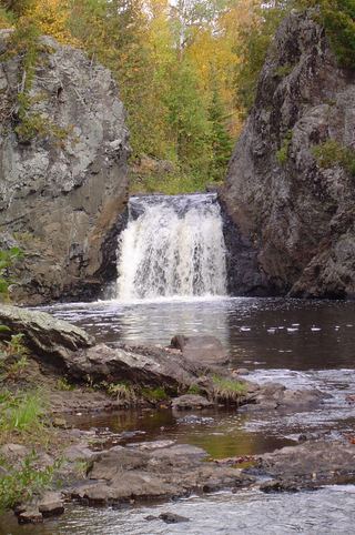 Wren FallsRough forest road to a trail parking area and an overlook above the fallsIron County, WI4.5 miS
- CascadesPartial guide: state park trail; exact feature not confirmedAshland County, WI7.8 miSW
- Brownstone FallsState park loop trail with overlooks of the fallsAshland County, WI7.8 miSW
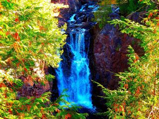 Copper FallsPavilion parking and waterfall loop researchedAshland County, WI8.1 miSW
- Upson FallsTown park with a short trail to the fallsIron County, WI8.4 miSE
- Superior FallsPower company site open to the public; short walkGogebic County, MI8.7 miNE
- Saxon Falls RoadIron County, WI8.8 miNE