Lower Potato River Falls
Iron County, Wisconsin
Your visit at a glance
- Waterfall height
- Not recorded
- Location
- Iron County, Wisconsin
- Access status
- County park stair trail to a deck facing the lower falls
- The walk
- Stair trail; no distance to the lower falls deck is published
- Ground & access
- Steep timber staircase into the gorge. Reaching the base requires wading the river.
Lower Potato River Falls drops about 50 feet on the Potato River in a county park in Gurney. From Highway 169, take Potato River Falls Road to its end and park at the small circle drive. The first trail, which most visitors drive past, descends a steep timber staircase to an observation deck facing the lower falls; the view from the deck is distant and partly blocked. The trail continues down to the river. Reaching the base of the falls means wading across the river, which may not be possible in spring. A shorter path from the top of the gorge leads to another deck with a distant view of the lower falls.
Plan your visit
Potato River Falls county park at the end of Potato River Falls Road west of Highway 169 in Gurney, then the stair trail into the gorge to an observation deck facing the lower falls
Wisconsin Explorer gives 0.5 mile for the park trails overall. No separate distance to the lower falls deck is given.
Steep timber staircase into the gorge. Reaching the base requires wading the river.
Where to start
Small circle drive at the end of Potato River Falls Road, west of Highway 169. The road is gravel.
Timing & water
No season is stated. Crossing the river may not be possible in spring.
Before you go
Go Waterfalling says there is no fee.
Visitor informationVisit sources
More waterfalls nearby
Within 40 straight-line miles. Road and trail distances will differ.
- Upper Potato River FallsCounty park trail to an observation deckIron County, WI0.1 miSE
- Foster FallsCounty forest road to a parking area near the fallsIron County, WI4.4 miSE
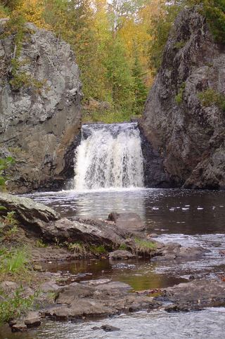 Wren FallsRough forest road to a trail parking area and an overlook above the fallsIron County, WI4.6 miS
- CascadesPartial guide: state park trail; exact feature not confirmedAshland County, WI7.8 miSW
- Brownstone FallsState park loop trail with overlooks of the fallsAshland County, WI7.9 miSW
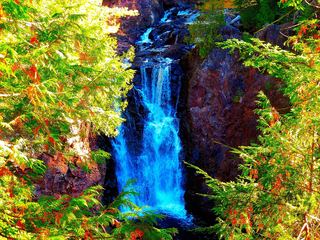 Copper FallsPavilion parking and waterfall loop researchedAshland County, WI8.1 miSW
- Upson FallsTown park with a short trail to the fallsIron County, WI8.5 miSE
- Superior FallsPower company site open to the public; short walkGogebic County, MI8.7 miNE
- Saxon Falls RoadIron County, WI8.8 miNE