Montreal Falls - Upper Falls
Keweenaw County, Michigan
Your visit at a glance
- Waterfall height
- Not recorded
- Location
- Keweenaw County, Michigan
- Access status
- State land route to the lower falls; upper falls path not confirmed
- The walk
- About 1.3 miles to the lower falls, plus an unmeasured walk upstream
- Ground & access
- Unmaintained and sometimes faint paths; slippery rock around the falls. No amenities. Cell service is limited.
From Copper Harbor, follow US-41 to its end and continue on Mandan Road about 7.5 miles to Hoar Lake Road. Turn south 1.6 miles to the Hoar Lake Loop, then west 0.6 mile to an unnamed forest road heading west. Park alongside it and walk the road, which has berms, 1.3 miles to Montreal Falls at the river mouth. For the upper falls, follow the narrow path upstream on the western bank. One visitor did not find the upper drop after a few hundred yards.
Plan your visit
DNR suggested route from the Hoar Lake Loop forest road to Montreal Falls, then upstream on a fishermen's path to the upper falls
The Michigan DNR route reported by Keweenaw Report is 1.3 miles to the mouth of the river at the lower falls. No source gives the distance from there to the upper falls.
Unmaintained and sometimes faint paths; slippery rock around the falls. No amenities. Cell service is limited.
Where to start
Park alongside the unnamed forest road off the Hoar Lake Loop. Do not drive down the road; berms block it. The older Smith Fishery Road route is private and gated.
Timing & water
Visit Keweenaw advises waiting until mid to late May for trails to firm up. Roads are rough two-tracks; high-clearance vehicles recommended.
Before you go
No fee is mentioned. Backcountry camping on state forest land needs a permit.
Visitor informationVisit sources
More waterfalls nearby
Within 40 straight-line miles. Road and trail distances will differ.
- Manganese FallsRoadside parking and short path to overlook documentedKeweenaw County, MI5.0 miNW
- Haven FallsCounty park; falls visible from the roadKeweenaw County, MI9.1 miW
- Silver FallsRoadside park and short walkKeweenaw County, MI12 miNW
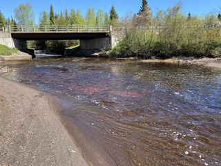 Tobacco FallsRoadside park; low dropsKeweenaw County, MI19 miSW
- Jacobs FallsRoadside falls; optional creek climbKeweenaw County, MI19 miW
- Ten Foot FallsRoadside falls; land permission not confirmedKeweenaw County, MI21 miW
 Eagle River FallsRoadside bridge viewpoint documentedKeweenaw County, MI22 miW
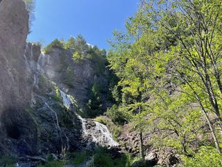 Houghton-Douglass FallsConstruction incomplete; waterfall approach undeveloped110 ft (33.5 m) · Houghton County, MI31 miSW
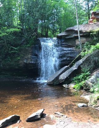 Lower Hungarian FallsVerified approach to the upper edge; restricted view of Lower FallsHoughton County, MI33 miSW