Waterfalls in Missouri
16 named waterfalls in 12 counties. Browse mapped locations and recorded heights. A map listing does not confirm public access or a walking route.
Visits with route details
Read the walking route, starting point and current access notes.
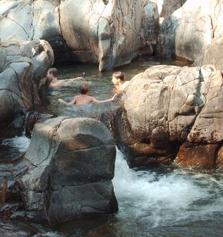 Johnson Shut-InsResearched visit notesReynolds County, MO
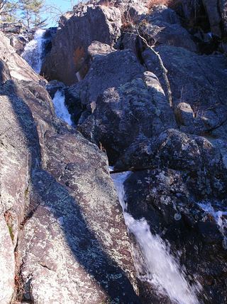 Mina Sauk FallsState park loop trail; rugged and rockyIron County, MO
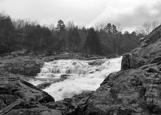 Rocky FallsOfficial NPS day-use site; walking distance not publishedShannon County, MO
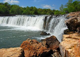 Grand FallsRoadside lot with a short path to the creekNewton County, MO
- Deer Lake RifflesParking location and walking distance unconfirmedSt. Louis city, MO
- The FallsNamed trail approach and Blair Ridge parking documented; distance unknown.7 ft (2 m) · Taney County, MO
- Line Creek Double FallsDocumented paved trail walk from community center trailheadPlatte County, MO
- Dripping SpringsPaved park loop documentedSt. Louis County, MO
- Tryst FallsCounty park waterfall; parking and path not describedClay County, MO