WaterfallNear Me

Missouri waterfall visits

Compare 9 Missouri waterfall visits by the approach, terrain, and where to start. Some routes have closures or unresolved details; read the individual guide before travelling.

9 visit options

Grand Falls, MO

Roadside lot with a short path to the creek

Missouri

Grand Falls

Viewable from the lot; short path down to the creek

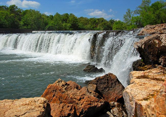
Grand Falls is a 12-foot drop over a wide chert ledge on Shoal Creek in Joplin, just downstream of Wildcat Park. Park in the small gravel lot on Riverside Drive. You can see the falls from the lot or walk the path down to the creek. The falls are on the east side of the creek.
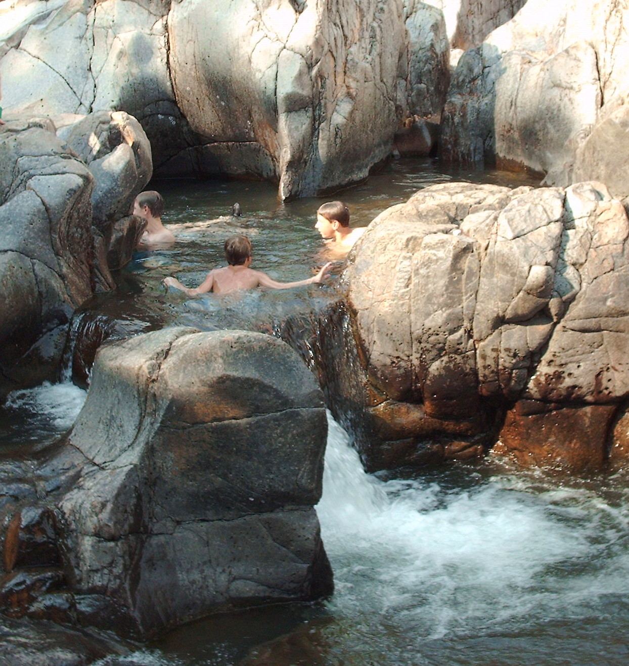
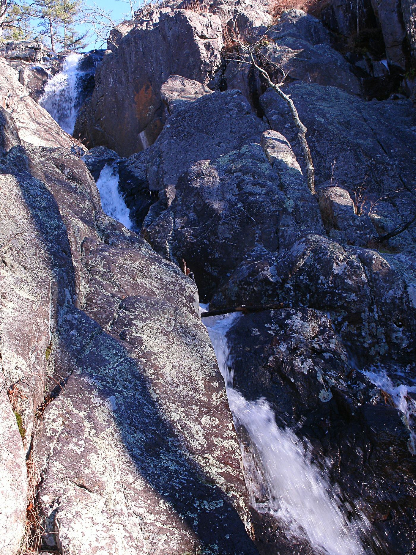
Photo creditPhoto: Seanbynum, CC BY-SA 4.0, via Wikimedia Commons
Mina Sauk Falls, MO

State park loop trail; rugged and rocky

Missouri

Mina Sauk Falls

2.9 mile loop

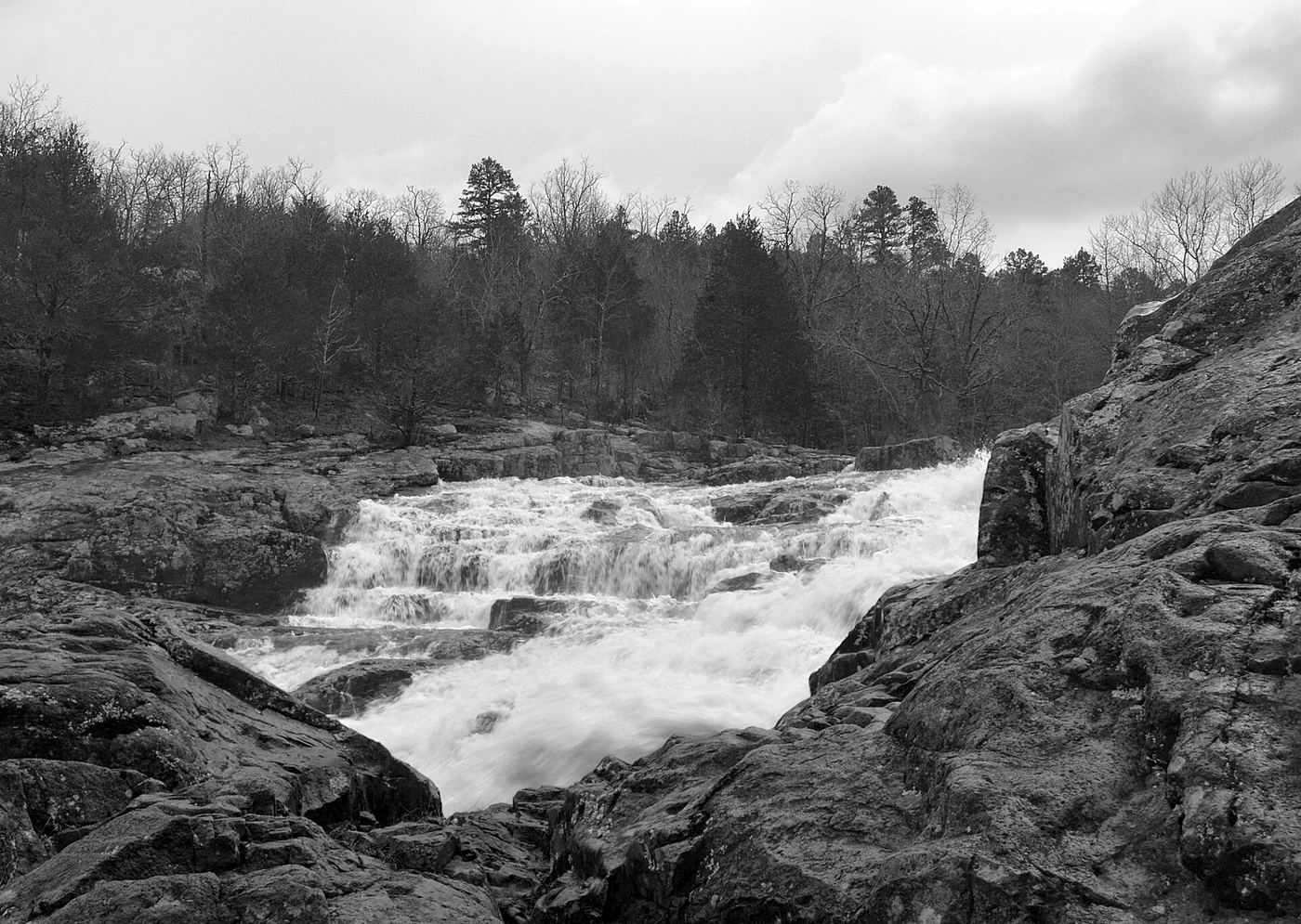
Mina Sauk Falls drops 132 feet over a series of ledges into Taum Sauk Creek and is Missouri's tallest waterfall. From the trailhead parking, a short paved walk leads to the highest point in Missouri. Beyond that the red-blazed trail becomes rocky and rugged, crossing woodland and open glades. It passes along the top of the falls, then loops back up the mountain to the trailhead. The Ozark Trail shares the route for about a mile and continues down the valley at the falls.

Photo creditPhoto: Kbh3rd, CC BY-SA 3.0, via Wikimedia Commons
Rocky Falls, MO

Official NPS day-use site; walking distance not published

Missouri

Rocky Falls

Short walk from the day-use parking; distance not published

Rocky Falls is an Ozark National Scenic Riverways day-use area on Route NN, off Route H east of Eminence and Winona. NPS lists a parking area, trailhead, walking trail, restrooms, picnic tables and grills. Walk from the parking area to the falls, which cascade over red rhyolite into a pool used for swimming in spring and summer.

Photo creditPhoto: Kbh3rd, CC BY 4.0, via Wikimedia Commons

Parking location and walking distance unconfirmed

Missouri

Deer Lake Riffles

Walking distance not confirmed

Forest Park Forever describes the small waterfalls along the path south of Council Circle, where pumped water enters the stream. The article illustrates Deer Lake Riffles.

Location map; no photo available.

Paved park loop documented

Missouri

Dripping Springs

About 3.7 to 3.9 mile paved loop

Start at Sailboat Cove in Creve Coeur Park and walk the paved Lakeview Loop counterclockwise around Creve Coeur Lake. On the return side the trail leaves the woods at Dripping Springs, with views of the lake and the waterfall. The flow is often a drip and runs strongly only after heavy rain.

Location map; no photo available.

Documented paved trail walk from community center trailhead

Missouri

Line Creek Double Falls

About 1 mile return

Start at the Line Creek Community Center trailhead, 5940 N.W. Waukomis Drive, Kansas City. Walk south on the paved Line Creek Trail about half a mile to the double waterfall and cascades on Line Creek. Return the same way. The separate triple waterfall is about one mile north of the same trailhead.

Location map; no photo available.

Named trail approach and Blair Ridge parking documented; distance unknown.

Missouri

The Falls

Distance unknown

The Falls is the Long Creek waterfall in Hercules Glades Wilderness. Its stream can dry up during summer or dry weather.

Location map; no photo available.

County park waterfall; parking and path not described

Missouri

Tryst Falls

Short walk inside the park; no published distance

Tryst Falls is a natural drop of about five feet on a creek in a small county park between Excelsior Springs and Kearney. The park has picnic areas, shelters, a small ball field and a playground. Neither source describes where to park or the path to the falls, so the exact walk is not confirmed. The falls depend on rain and may show only a trickle in late summer.

Location map; no photo available.

Choose another state All mapped waterfalls in Missouri