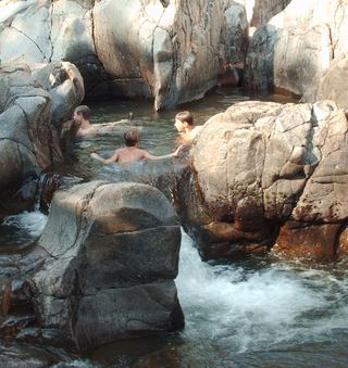
Mina Sauk Falls
Iron County, Missouri
Your visit at a glance
- Waterfall height
- Not recorded
- Location
- Iron County, Missouri
- Access status
- State park loop trail; rugged and rocky
- The walk
- 2.9 mile loop
- Ground & access
- Rugged and strenuous. Shifting rock, steep grades over 10 percent, drop-offs and stream crossings without bridges. Only the first part to the high point is wheelchair accessible.
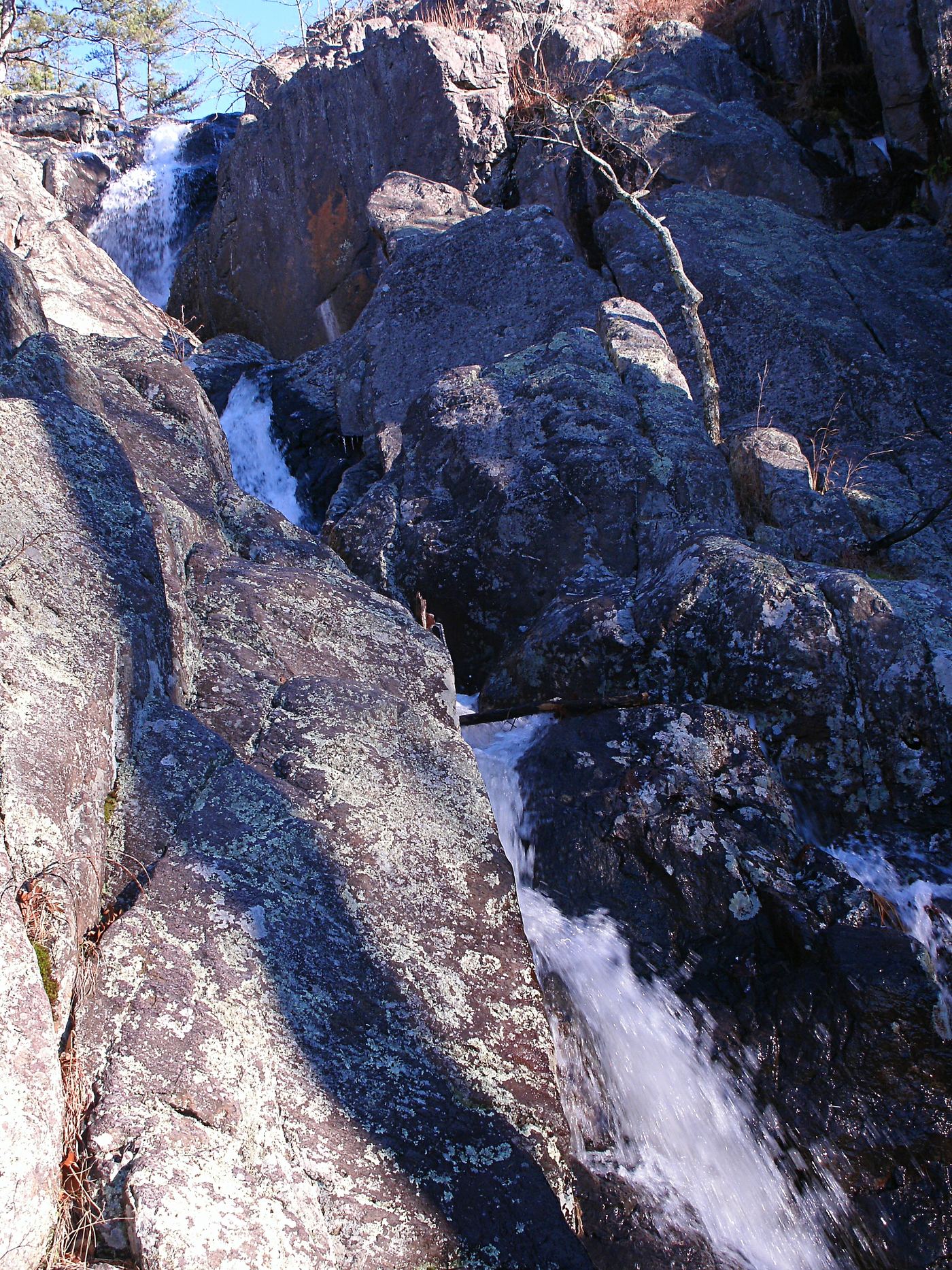
Mina Sauk Falls drops 132 feet over a series of ledges into Taum Sauk Creek and is Missouri's tallest waterfall. From the trailhead parking, a short paved walk leads to the highest point in Missouri. Beyond that the red-blazed trail becomes rocky and rugged, crossing woodland and open glades. It passes along the top of the falls, then loops back up the mountain to the trailhead. The Ozark Trail shares the route for about a mile and continues down the valley at the falls.
Plan your visit
Mina Sauk Falls Trail loop from the Taum Sauk Mountain State Park trailhead past the state high point to the top of Mina Sauk Falls
Missouri State Parks lists the Mina Sauk Falls Trail as a 2.9-mile loop with an estimated hiking time of 2 hours 54 minutes. The falls are partway around the loop.
Rugged and strenuous. Shifting rock, steep grades over 10 percent, drop-offs and stream crossings without bridges. Only the first part to the high point is wheelchair accessible.
Where to start
Mina Sauk Falls Trail trailhead parking in Taum Sauk Mountain State Park; trailhead GPS 37.57280, -90.72827.
Timing & water
The falls flow best after rain and may be low in dry weather. Water crossings may occur in wet weather.
Before you go
No fee is mentioned in the state park trail sheet.
Visitor informationVisit sources
More waterfalls nearby
Within 40 straight-line miles. Road and trail distances will differ.