Johnson Shut-Ins
Reynolds County, Missouri
Your visit at a glance
- Waterfall height
- Not recorded
- Location
- Reynolds County, Missouri
- The walk
- 0.25 mile each way to the overlook
- Ground & access
- Pavement, concrete and wooden boardwalk with little slope and resting benches. This accessibility description applies to the overlook approach, not scrambling in the river.

Walk from the main parking lot below River Store to the shut-ins overlook on the accessible paved and boardwalk route.
Plan your visit
Accessible Shut-Ins overlook trail from the main day-use lot
Missouri State Parks lists the accessible overlook section as 0.25 mile long, approximately 0.5 mile returning the same way. This is not the full Shut-Ins loop.
Pavement, concrete and wooden boardwalk with little slope and resting benches. This accessibility description applies to the overlook approach, not scrambling in the river.
Where to start
Use the main day-use parking lot below River Store; four accessible parking spaces are identified. The shut-ins day-use lot has limited capacity.
Timing & water
The park closes shut-ins access when river discharge reaches 75 cubic feet per second. Summer holiday-season parking often fills by 10 a.m.; check the park status map for current restrictions.
Before you go
Food, alcohol, pets, coolers and disposable drink containers are prohibited in the shut-ins recreation area and its approach trail. Bring a reusable water bottle.
Visitor informationMore waterfalls nearby
Within 40 straight-line miles. Road and trail distances will differ.
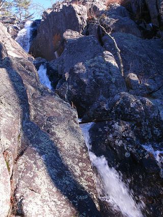 Mina Sauk FallsState park loop trail; rugged and rockyIron County, MO5.6 miE
- Wolf Pen Hollow WaterfallIron County, MO13 miNW
- Big DropMadison County, MO21 miE
- Cats PawMadison County, MO21 miE
- Waterfall (seasonal)10 ft (3 m) · Washington County, MO29 miN
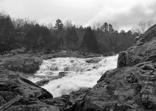 Rocky FallsOfficial NPS day-use site; walking distance not publishedShannon County, MO37 miSW