Waterfalls near Toccoa, GA
88 named waterfalls within 30 miles of Toccoa, closest first. Distances are straight-line from the town center.
Visits with route details
Read the walking route, starting point and current access notes.
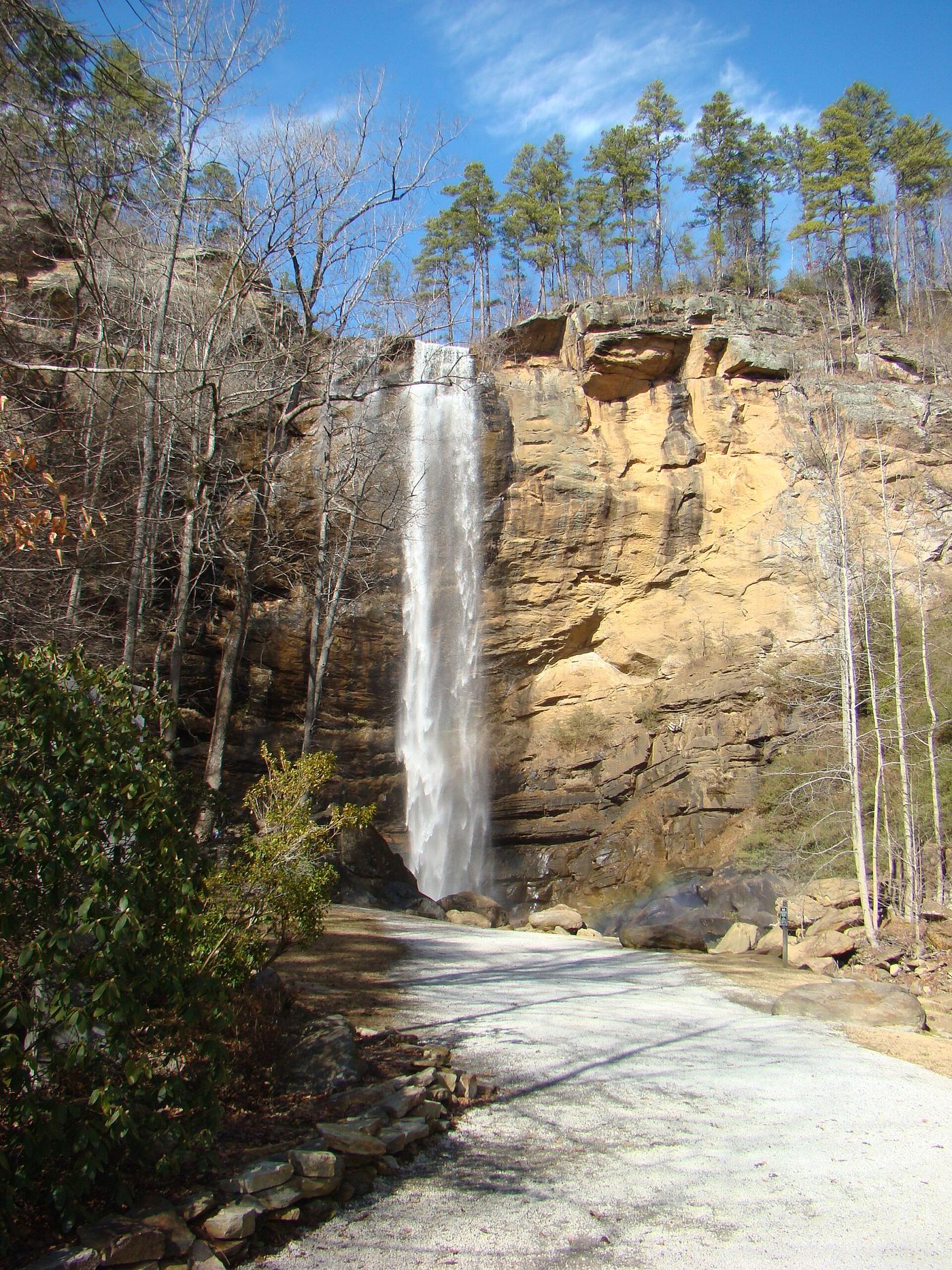
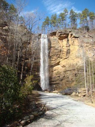 Toccoa FallsResearched visit notes186 ft (56.7 m) · Stephens County, GA
- Panther Creek FallsHelene repairs: normal parking closed; trail warning131 ft (40 m) · Habersham County, GA
- Little Brasstown FallsNearby lower Brasstown route closed; Little Brasstown spur describedOconee County, SC
- Brasstown FallsLower trail closed; visit first viewing platform onlyOconee County, SC
- Bridal Veil FallsOfficial permit route documented; strenuous stairs and bouldersRabun County, GA
- Oceana FallsState park rim overlook documented; feeRabun County, GA
- Hurricane FallsState park staircase trail documented; feeRabun County, GA
- Tempesta FallsPartial guide: how to reach the South Rim Trail start is not describedRabun County, GA
- L'Eau d'Or FallsState park rim overlook documented; feeRabun County, GA
- Caledonia CascadePartial guide: official overlooks name the cascade; exact location match is probableRabun County, GA
- Maxie Duke FallsPartial guide: steep scramble path for the last 0.2 mileOconee County, SC
- Sparkle FallsPartial guide: no trail; creek walk below Sids FallsOconee County, SC
- Sids FallsPartial guide: forest road walk, then an unofficial user path; parking at the gate not describedOconee County, SC
- Opossum Creek FallsResearched route and starting areaOconee County, SC
- Chau Ram FallsCounty park with an accessible waterfall view near parkingOconee County, SC
- Camp Branch FallsPartial guide: heard from the trail; view and base access not confirmedOconee County, SC
- Homer's FallsPartial guide: unofficial trail and a very steep scramble pathOconee County, SC
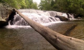 Riley Moore FallsResearched visit notes12 ft (3.6 m) · Oconee County, SC
- Long Creek FallsPartial guide: unofficial, unmarked path in the national forestOconee County, SC
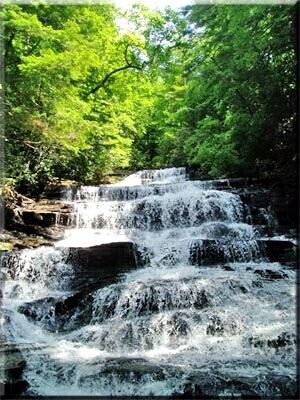 Minnehaha FallsResearched visit notesRabun County, GA
- Blue Hole FallsParking location and current route condition unconfirmed8 ft (2.5 m) · Oconee County, SC
- Cedar Creek FallsPartial guide: informal side path from an old forest road; position matched by descriptionOconee County, SC
- Reedy Branch FallsNational forest roadbed walk to the falls documentedOconee County, SC
- Fall Creek FallsPartial guide: unofficial, unmarked path through national forestOconee County, SC
- Pristine FallsPartial guide: unofficial path, ford and scrambleOconee County, SC
- Andrew Ramey FallsPartial guide: short unofficial scramble path from a forest roadOconee County, SC
- Midway FallsPartial guide: unofficial, overgrown path from a forest roadOconee County, SC
- Rhodo FallsPartial guide: unofficial, overgrown path from a forest roadOconee County, SC
- Stonewall FallsPublished trail route and trailhead parking documentedRabun County, GA
- Yellow Branch FallsResearched route and starting areaOconee County, SC
- Chauga NarrowsNational forest path route and parking documented; slippery rock at the endOconee County, SC
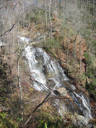 Isaqueena FallsCity park trail to the viewing platform documented; vehicle feeOconee County, SC
- Land Bridge FallsPartial guide: informal fishermen's paths; one sourceOconee County, SC
- Jim Lee FallsPartial guide: unmarked cross-country route next to private landOconee County, SC
- Station Cove FallsResearched walking routeOconee County, SC
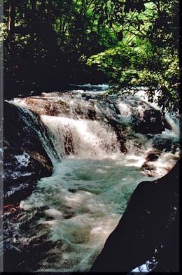 Hemlock FallsSource-reviewed marked trail and roadside parkingRabun County, GA
- Disappearing FallsPartial guide: small falls beside the Hidden Falls Trail; the route source does not use this nameOconee County, SC
- Hidden FallsSigned state park trail and trailhead documentedOconee County, SC
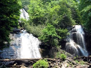 Anna Ruby FallsResearched visit notesWhite County, GA
- Horse Bone FallsPartial guide: no trail; off-trail approach along or down to Horse Bone BranchOconee County, SC
- Lee FallsPartial guide: no official trail; old fields and an unofficial creekside pathOconee County, SC
- Ira Branch FallsPartial guide: no trail beyond the Ira Branch footbridge; winter recommendedOconee County, SC
- Cheohee Road FallsPartial guide: roadside falls; no parking describedOconee County, SC
- Pigpen FallsFoothills Trail and Chattooga Trail from Nicholson Ford RoadOconee County, SC
- Licklog FallsNational forest trail route and trailhead documentedOconee County, SC
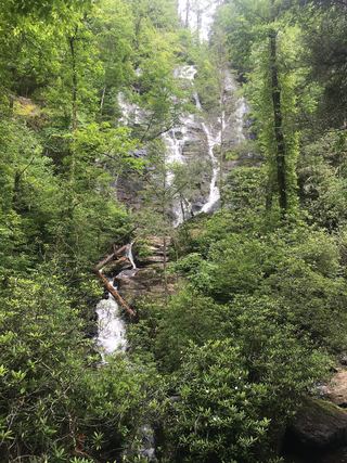 Duke Creek FallsNational Forest day-use trail documented; fee siteWhite County, GA
- Secret FallsPartial guide: final 300 yards are cross-country with no trail markingsOconee County, SC
- Crane Creek FallsPartial guide: off-trail bushwhack of about half a mile; no trailOconee County, SC
- Crane FallsPartial guide: no published distance; informal creek pathOconee County, SC
- Miuka FallsNational forest trail from SC 107 near Cherry HillOconee County, SC
- Big Bend FallsNational forest trail route documented; steep final descent to the riverOconee County, SC
- Lower Sorrels Branch FallsPartial guide: unofficial path and informal roadside parkingTowns County, GA
- Upper Sorrels Branch FallsPartial guide: unofficial path; final approach to the upper falls is obscureTowns County, GA
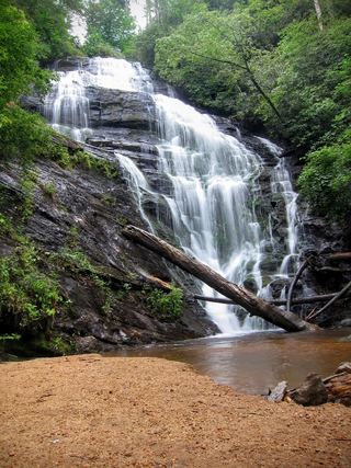 King Creek FallsResearched visit notes66 ft (20 m) · Oconee County, SC
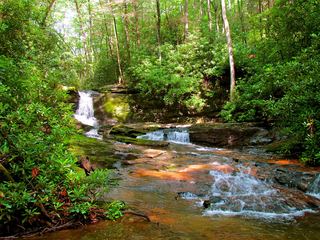 Raven Cliff FallsResearched visit notesWhite County, GA
- Upper Middle Creek FallsShort path from a small highway pull-off to an overlookMacon County, NC
 Horse Trough FallsResearched visit notesUnion County, GA
- Meadow FallsForest trail and roadside trailhead documentedPickens County, SC
- Middle Creek FallsNational forest; unofficial path, very difficultMacon County, NC
Closest with a photo
All 88 waterfalls
- Toccoa FallsResearched visit notes186 ft (56.7 m) · Stephens County, GA2.1 miNW
- Longnose Creek FallsOconee County, SC6.5 miNE
- Panther Creek FallsHelene repairs: normal parking closed; trail warning131 ft (40 m) · Habersham County, GA7.6 miNW
- Boyer FallsOconee County, SC7.9 miN
- Battle Creek FallsOconee County, SC9.3 miN
- Little Brasstown FallsNearby lower Brasstown route closed; Little Brasstown spur describedOconee County, SC9.8 miN
- Brasstown FallsLower trail closed; visit first viewing platform onlyOconee County, SC9.9 miN
- Bridal Veil FallsOfficial permit route documented; strenuous stairs and bouldersRabun County, GA11 miN
- Oceana FallsState park rim overlook documented; feeRabun County, GA12 miN
- Hurricane FallsState park staircase trail documented; feeRabun County, GA12 miN
- Tempesta FallsPartial guide: how to reach the South Rim Trail start is not describedRabun County, GA12 miN
- L'Eau d'Or FallsState park rim overlook documented; feeRabun County, GA12 miN
- Caledonia CascadePartial guide: official overlooks name the cascade; exact location match is probableRabun County, GA12 miN
- John Danner FallsOconee County, SC12 miN
- Maxie Duke FallsPartial guide: steep scramble path for the last 0.2 mileOconee County, SC12 miN
- Sparkle FallsPartial guide: no trail; creek walk below Sids FallsOconee County, SC12 miN
- Sids FallsPartial guide: forest road walk, then an unofficial user path; parking at the gate not describedOconee County, SC12 miN
- Upper Opossum Creek FallsOconee County, SC12 miN
- Shoulder Bone FallsOconee County, SC12 miN
- Opossum Creek FallsResearched route and starting areaOconee County, SC12 miN
- Chau Ram FallsCounty park with an accessible waterfall view near parkingOconee County, SC13 miNE
- Camp Branch FallsPartial guide: heard from the trail; view and base access not confirmedOconee County, SC13 miN
- Homer's FallsPartial guide: unofficial trail and a very steep scramble pathOconee County, SC14 miN
- Upper Long Creek FallsOconee County, SC14 miN
- Middle Long Creek FallsOconee County, SC14 miN
- Riley Moore FallsResearched visit notes12 ft (3.6 m) · Oconee County, SC14 miNE
- Long Creek FallsPartial guide: unofficial, unmarked path in the national forestOconee County, SC14 miN
- Minnehaha FallsResearched visit notesRabun County, GA14 miNW
- Blue Hole FallsParking location and current route condition unconfirmed8 ft (2.5 m) · Oconee County, SC15 miNE
- Cedar Creek FallsPartial guide: informal side path from an old forest road; position matched by descriptionOconee County, SC15 miNE
- Double Branch FallsOconee County, SC16 miNE
- Reedy Branch FallsNational forest roadbed walk to the falls documentedOconee County, SC16 miN
- Norm's FallsOconee County, SC16 miN
- Triple FallsOconee County, SC17 miN
- Fall Creek FallsPartial guide: unofficial, unmarked path through national forestOconee County, SC17 miN
- Side Pocket FallsOconee County, SC17 miN
- Final FallsOconee County, SC17 miN
- Little Fall Creek FallsOconee County, SC17 miN
- Pristine FallsPartial guide: unofficial path, ford and scrambleOconee County, SC17 miN
- Andrew Ramey FallsPartial guide: short unofficial scramble path from a forest roadOconee County, SC18 miN
- Midway FallsPartial guide: unofficial, overgrown path from a forest roadOconee County, SC18 miN
- Rhodo FallsPartial guide: unofficial, overgrown path from a forest roadOconee County, SC18 miN
- Bone Camp Creek FallsOconee County, SC18 miNE
- Stonewall FallsPublished trail route and trailhead parking documentedRabun County, GA18 miN
- Yellow Branch FallsResearched route and starting areaOconee County, SC19 miNE
Show the other 43 waterfalls, 19 mi to 30 mi away
- Lohr's FallsOconee County, SC19 miNE
- Limestone FallsOconee County, SC19 miNE
- Chauga NarrowsNational forest path route and parking documented; slippery rock at the endOconee County, SC20 miNE
- Isaqueena FallsCity park trail to the viewing platform documented; vehicle feeOconee County, SC20 miNE
- Land Bridge FallsPartial guide: informal fishermen's paths; one sourceOconee County, SC20 miNE
- Jim Lee FallsPartial guide: unmarked cross-country route next to private landOconee County, SC23 miNE
- Snider FallsOconee County, SC23 miN
- Station Cove FallsResearched walking routeOconee County, SC23 miNE
- Alana FallsWhite County, GA24 miW
- Hemlock FallsSource-reviewed marked trail and roadside parkingRabun County, GA25 miNW
- Disappearing FallsPartial guide: small falls beside the Hidden Falls Trail; the route source does not use this nameOconee County, SC25 miNE
- Hidden FallsSigned state park trail and trailhead documentedOconee County, SC25 miNE
- Anna Ruby FallsResearched visit notesWhite County, GA25 miNW
- Horse Bone FallsPartial guide: no trail; off-trail approach along or down to Horse Bone BranchOconee County, SC25 miNE
- Lee FallsPartial guide: no official trail; old fields and an unofficial creekside pathOconee County, SC26 miNE
- Ira Branch FallsPartial guide: no trail beyond the Ira Branch footbridge; winter recommendedOconee County, SC26 miNE
- Cheohee Road FallsPartial guide: roadside falls; no parking describedOconee County, SC27 miNE
- Pigpen FallsFoothills Trail and Chattooga Trail from Nicholson Ford RoadOconee County, SC27 miNE
- Upper Pigpen FallsOconee County, SC27 miNE
- Licklog FallsNational forest trail route and trailhead documentedOconee County, SC27 miNE
- Lower Wash Branch FallsOconee County, SC27 miNE
- Upper Wash Branch FallsOconee County, SC27 miNE
- Crossland Creek FallsOconee County, SC27 miNE
- Duke Creek FallsNational Forest day-use trail documented; fee siteWhite County, GA28 miW
- Secret FallsPartial guide: final 300 yards are cross-country with no trail markingsOconee County, SC28 miNE
- Crane Creek FallsPartial guide: off-trail bushwhack of about half a mile; no trailOconee County, SC28 miNE
- Yellow Jacket FallsOconee County, SC28 miNE
- Prospector FallsOconee County, SC28 miNE
- Deadfall FallsOconee County, SC28 miNE
- Crane FallsPartial guide: no published distance; informal creek pathOconee County, SC28 miNE
- Horsehead Point FallsPickens County, SC28 miE
- Little Miuka FallsOconee County, SC28 miNE
- Lower Miuka FallsOconee County, SC28 miNE
- Miuka FallsNational forest trail from SC 107 near Cherry HillOconee County, SC28 miNE
- Big Bend FallsNational forest trail route documented; steep final descent to the riverOconee County, SC29 miNE
- Lower Sorrels Branch FallsPartial guide: unofficial path and informal roadside parkingTowns County, GA30 miNW
- Upper Sorrels Branch FallsPartial guide: unofficial path; final approach to the upper falls is obscureTowns County, GA30 miNW
- King Creek FallsResearched visit notes66 ft (20 m) · Oconee County, SC30 miNE
- Raven Cliff FallsResearched visit notesWhite County, GA30 miW
- Upper Middle Creek FallsShort path from a small highway pull-off to an overlookMacon County, NC30 miN
- Horse Trough FallsResearched visit notesUnion County, GA30 miNW
- Meadow FallsForest trail and roadside trailhead documentedPickens County, SC30 miE
- Middle Creek FallsNational forest; unofficial path, very difficultMacon County, NC30 miN