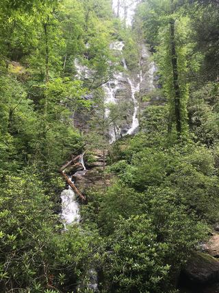
Lower Sorrels Branch Falls
Towns County, Georgia
Your visit at a glance
- Waterfall height
- Not recorded
- Location
- Towns County, Georgia
- Access status
- Partial guide: unofficial path and informal roadside parking
- The walk
- 0.3 mile one way; about 0.6 mile return (derived)
- Ground & access
- Unofficial, unblazed path; road-shoulder walk; steep scramble to the base. Stone ruins sit at the top of the falls.
From the pull-off where a dirt road leaves GA 180, walk back east along the grassy shoulder about 0.15 mile. About 150 feet past the Sorrels Branch culvert, take a narrow path up the bank to an old logging road. When the top of the falls shows on the left, cut through open woods about 200 feet to a viewpoint. A steep scramble leads to the base.
Plan your visit
GA 180 roadside pull-off via an unofficial logging-road path to Lower Sorrels Branch Falls
The trail report reaches the base of the lower falls at 0.3 mile from the parking spot, including about 0.15 mile walking along the GA 180 shoulder. Return figure derived.
Unofficial, unblazed path; road-shoulder walk; steep scramble to the base. Stone ruins sit at the top of the falls.
Where to start
No parking at the trailhead. The report parks about 0.15 mile west on GA 180, where a dirt road leaves diagonally left, with room for a couple of cars. Authorization for this informal parking is not stated.
Timing & water
Best in winter and spring. Current conditions unknown.
Before you go
The report lists no fees.
Visitor informationVisit sources
More waterfalls nearby
Within 40 straight-line miles. Road and trail distances will differ.
- Upper Sorrels Branch FallsPartial guide: unofficial path; final approach to the upper falls is obscureTowns County, GA0.0 miNW
- Upper Garrett Branch FallsTowns County, GA1.2 miW
- Lower Garrett Branch FallsTowns County, GA1.2 miW
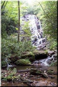 Horse Trough FallsResearched visit notesUnion County, GA3.8 miSW
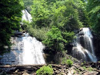 Anna Ruby FallsResearched visit notesWhite County, GA5.3 miS
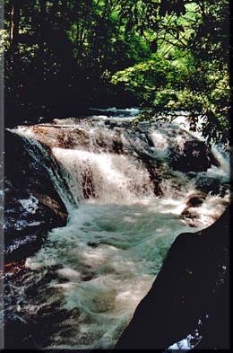 Hemlock FallsSource-reviewed marked trail and roadside parkingRabun County, GA7.8 miE
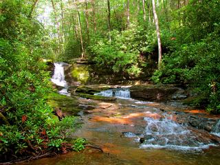 Raven Cliff FallsResearched visit notesWhite County, GA8.9 miSW
- Alana FallsWhite County, GA9.3 miS
 Duke Creek FallsNational Forest day-use trail documented; fee siteWhite County, GA9.5 miS