Waterfalls in West Virginia
24 named waterfalls in 13 counties. Browse mapped locations and recorded heights. A map listing does not confirm public access or a walking route.
Visits with route details
Read the walking route, starting point and current access notes.
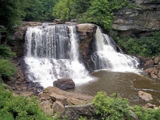 Blackwater FallsRoute and parking documented; confirm current conditions.62 ft (19 m) · Tucker County, WV
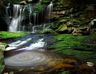 Elakala FallsShort state park trail to a bridge over the first fallsTucker County, WV
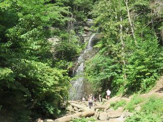 Cathedral FallsResearched visit notesFayette County, WV
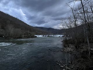 Sandstone FallsShort accessible national park boardwalk to river fallsSummers County, WV
- Lower Falls of Hills CreekNational forest trail with stairs to the lower falls platform63 ft (19.2 m) · Pocahontas County, WV
- Middle Falls of Hills CreekDeveloped national forest trail with boardwalks and stairs; second of three falls45 ft (13.7 m) · Pocahontas County, WV
- Upper Falls of Hills CreekPaved, accessible national forest path to the upper falls platform25 ft (7.6 m) · Pocahontas County, WV
- High FallsSource-reviewed trail and parking20 ft (6 m) · Randolph County, WV
- Upper Falls of Seneca CreekNational forest trail to the falls; creek crossings without footbridges; access road not maintained in winterPendleton County, WV
- GrottoShort county park trail; trailhead parking not describedKanawha County, WV
- Tenskwatawa FallsPartial guide: state park trail; start point, parking and distance to the falls not statedWebster County, WV
- Albert FallsPartial guide: the falls is seen from a rail-trail; the exact viewing spot and the distance from parking are not statedTucker County, WV
- High Falls of CheatLong trail over Shavers Mountain and a walk beside railroad tracks to the fallsPocahontas County, WV
- Tecumseh FallsState park trail that passes under the fallsWebster County, WV
Closest to you
Recorded waterfall heights
- Lower Falls of Hills CreekNational forest trail with stairs to the lower falls platform63 ft (19.2 m) · Pocahontas County
- Blackwater FallsRoute and parking documented; confirm current conditions.62 ft (19 m) · Tucker County
- Middle Falls of Hills CreekDeveloped national forest trail with boardwalks and stairs; second of three falls45 ft (13.7 m) · Pocahontas County
- Little Falls30 ft (9 m) · Monongalia County
- Upper Falls of Hills CreekPaved, accessible national forest path to the upper falls platform25 ft (7.6 m) · Pocahontas County
- High FallsSource-reviewed trail and parking20 ft (6 m) · Randolph County
Waterfalls near a town
By county
Pocahontas County 4
- High Falls of CheatLong trail over Shavers Mountain and a walk beside railroad tracks to the fallsPocahontas County
- Lower Falls of Hills CreekNational forest trail with stairs to the lower falls platform63 ft (19.2 m) · Pocahontas County
- Middle Falls of Hills CreekDeveloped national forest trail with boardwalks and stairs; second of three falls45 ft (13.7 m) · Pocahontas County
- Upper Falls of Hills CreekPaved, accessible national forest path to the upper falls platform25 ft (7.6 m) · Pocahontas County
Tucker County 4
- Albert FallsPartial guide: the falls is seen from a rail-trail; the exact viewing spot and the distance from parking are not statedTucker County
- Blackwater FallsRoute and parking documented; confirm current conditions.62 ft (19 m) · Tucker County
- Douglas FallsTucker County
- Elakala FallsShort state park trail to a bridge over the first fallsTucker County