Albert Falls
Tucker County, West Virginia
Your visit at a glance
- Waterfall height
- Not recorded
- Location
- Tucker County, West Virginia
- Access status
- Partial guide: the falls is seen from a rail-trail; the exact viewing spot and the distance from parking are not stated
- The walk
- About a mile past the coke ovens per TrailLink; total distance from parking not stated
- Ground & access
- Former railroad grade with a dirt and gravel surface. TrailLink says potholes and ruts mark the section from the Douglas Road lot to Douglas Falls.
Albert Falls is one of a series of waterfalls on the North Fork of the Blackwater River in the canyon below Thomas. The Blackwater Canyon Trail, a former railroad grade, begins in Thomas just north of the North Fork dam near US 48 and US 219. Head down the canyon past the remains of the beehive coke ovens just south of Thomas. TrailLink says Albert Falls is one of the first falls seen from the trail, about a mile past the coke ovens; Douglas Falls is about half a mile farther. The sources do not describe a separate viewpoint for Albert Falls. Return the same way.
Plan your visit
Blackwater Canyon Trail from Thomas, south past the old coke ovens, to the view of Albert Falls on the North Fork of the Blackwater River
TrailLink places Albert Falls about a mile past the coke ovens, which are just south of Thomas. It does not give the distance from either parking area.
Former railroad grade with a dirt and gravel surface. TrailLink says potholes and ruts mark the section from the Douglas Road lot to Douglas Falls.
Where to start
TrailLink gives two options: the lot at East Avenue/WV 32 in Thomas, with a short walkway to the trail, or a small lot about a mile south on Douglas Road, at a Forest Service gate.
Timing & water
No season or hours are stated.
Before you go
No fee is mentioned.
Visitor informationVisit sources
More waterfalls nearby
Within 40 straight-line miles. Road and trail distances will differ.
- Douglas FallsTucker County, WV0.3 miS
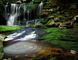 Elakala FallsShort state park trail to a bridge over the first fallsTucker County, WV1.9 miSE
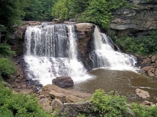 Blackwater FallsRoute and parking documented; confirm current conditions.62 ft (19 m) · Tucker County, WV2.3 miSE
- Falls of SenecaPendleton County, WV22 miS
- Small waterfallPendleton County, WV25 miS
- Upper Falls of Seneca CreekNational forest trail to the falls; creek crossings without footbridges; access road not maintained in winterPendleton County, WV25 miS
- Tolliver FallsFalls on a published state park loop trailGarrett County, MD26 miN
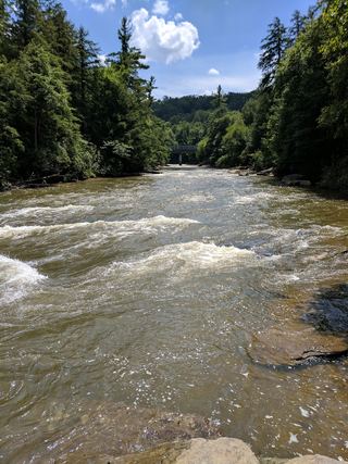 Upper Swallow FallsState park loop trail; summer weekend reservations; no pets in summer16 ft (5 m) · Garrett County, MD26 miN
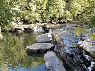 Lower Swallow FallsPartial guide: official trail and fees documented; lower drop not named by DNRGarrett County, MD26 miN