Lower Swallow Falls
Garrett County, Maryland
Your visit at a glance
- Waterfall height
- Not recorded
- Location
- Garrett County, Maryland
- Access status
- Partial guide: official trail and fees documented; lower drop not named by DNR
- The walk
- Canyon Trail is 1 1/4 miles in total; distance to this drop is not stated
- Ground & access
- Footpath through a rocky river gorge. Do not enter the river; DNR posts white water hazards for the park.
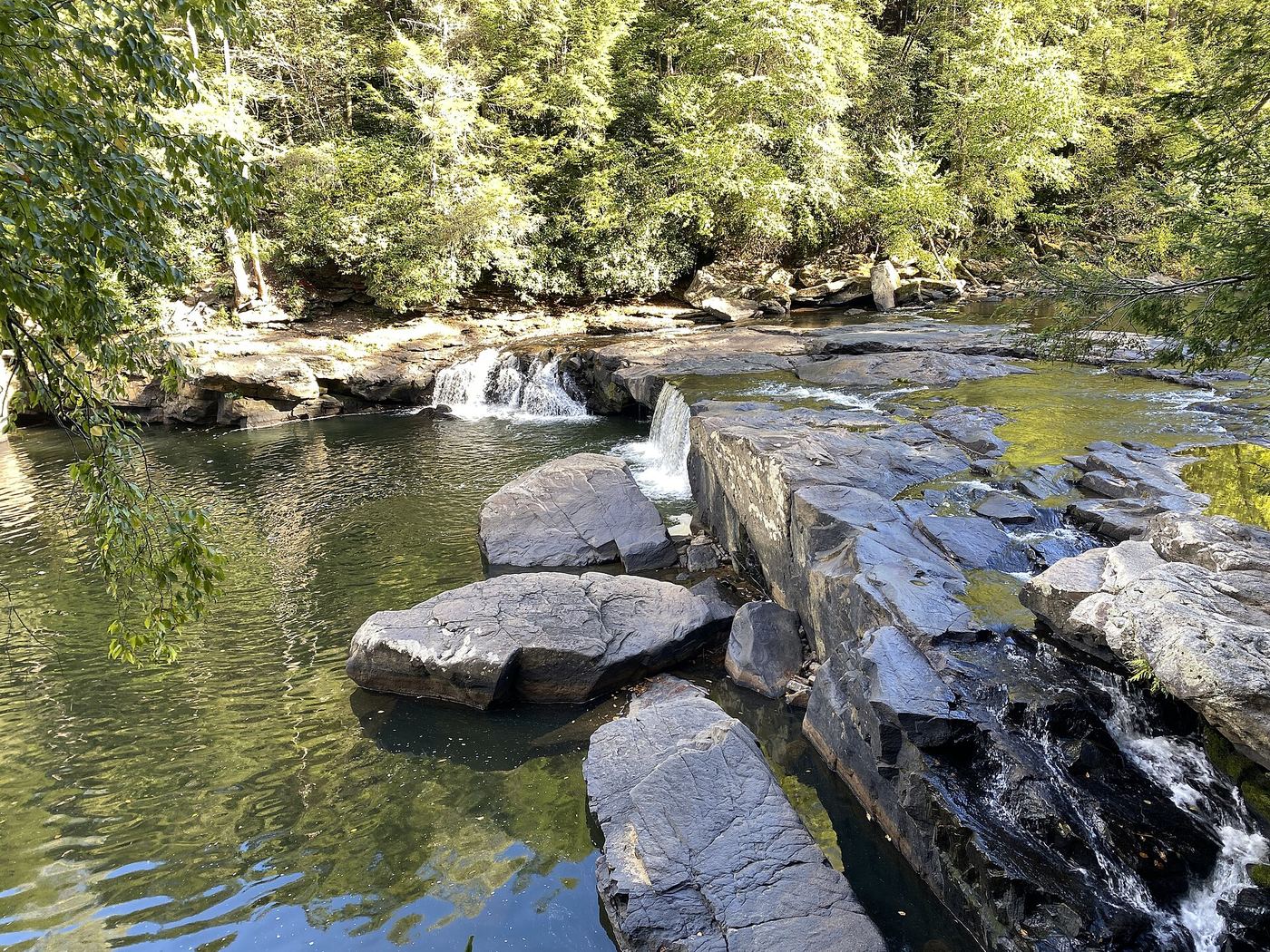
From the Swallow Falls State Park day use area, walk the Canyon Trail through old growth hemlock forest along the Youghiogheny River gorge. The trail passes several waterfalls, including Swallow Falls and the 53-foot Muddy Creek Falls. This lower drop is on the river below Swallow Falls, close to the trail. DNR does not label this lower drop by name.
Plan your visit
Swallow Falls State Park day use area on the Canyon Trail to the Swallow Falls drops on the Youghiogheny
DNR gives 1 1/4 miles for the whole Canyon Trail, which passes several waterfalls including Muddy Creek Falls. The share of that distance to this lower drop is not published.
Footpath through a rocky river gorge. Do not enter the river; DNR posts white water hazards for the park.
Where to start
Park day use parking, nine miles north of Oakland. Day use reservations are required on summer weekends and holidays per DNR.
Timing & water
Open 8 a.m. to sunset. Pets are not allowed in the day use area, including the Canyon Trail, from May 23 to September 7, 2026.
Before you go
DNR service charges: $3 per person Maryland residents, $5 out of state, from Memorial Day Saturday through Labor Day and on May, September and October weekends; $3 or $5 per car at other times. Day use reservations apply on summer weekends and holidays.
Visitor informationVisit sources
More waterfalls nearby
Within 40 straight-line miles. Road and trail distances will differ.
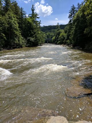 Upper Swallow FallsState park loop trail; summer weekend reservations; no pets in summer16 ft (5 m) · Garrett County, MD0.1 miSW
- Tolliver FallsFalls on a published state park loop trailGarrett County, MD0.2 miSW
 Muddy Creek FallsOfficial state park falls on a published loop trail53 ft (16.1 m) · Garrett County, MD0.3 miN
- Matador FallsPreston County, WV19 miW
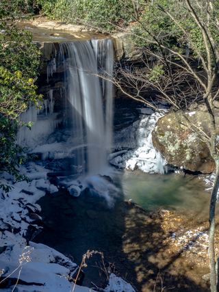 Cucumber FallsState park falls with a stairway from the parking area30 ft (9.1 m) · Fayette County, PA26 miN
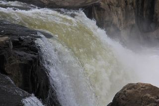 Ohiopyle FallsOfficial day use area overlook beside parking20 ft (6.1 m) · Fayette County, PA26 miN
- Albert FallsPartial guide: the falls is seen from a rail-trail; the exact viewing spot and the distance from parking are not statedTucker County, WV26 miS
- Douglas FallsTucker County, WV26 miS
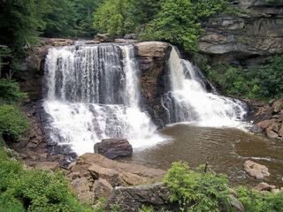 Blackwater FallsRoute and parking documented; confirm current conditions.62 ft (19 m) · Tucker County, WV27 miS