Ohiopyle Falls
Fayette County, Pennsylvania
Your visit at a glance
- Waterfall height
- 20 ft (6.1 m)
- Location
- Fayette County, Pennsylvania
- Access status
- Official day use area overlook beside parking
- The walk
- A few steps from the parking lot to the viewing areas
- Ground & access
- Short paved approach to viewing platforms; some viewing areas are accessible.
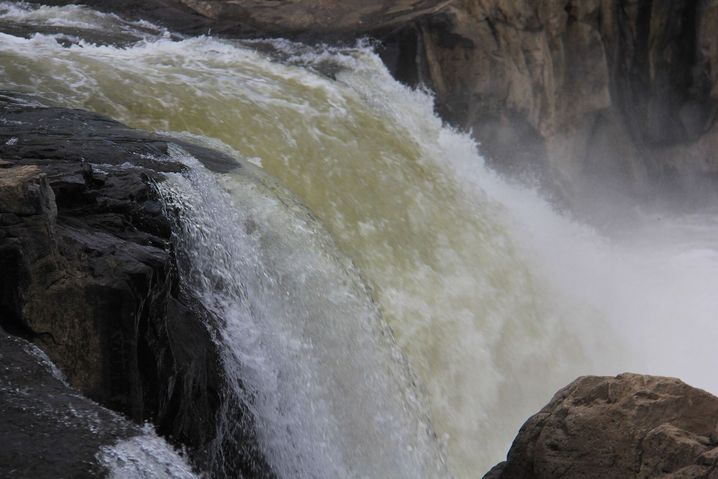
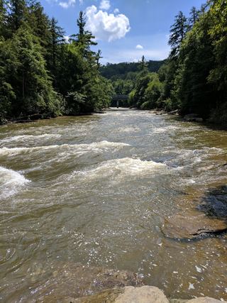
Ohiopyle Falls is a 15 to 20 foot waterfall across the full width of the Youghiogheny River in the borough of Ohiopyle. The Falls Day Use Area surrounds the falls and has parking, modern restrooms, a gift shop and snack bar, and overlook platforms. The park says the best view is from the observation deck there. Some of the viewing areas are accessible. The far bank (Ferncliff Peninsula) gives more views.
Plan your visit
Falls Day Use Area in Ohiopyle borough, observation deck beside the parking lot
Uncovering PA says several viewing areas are within steps of a large parking lot. No source gives a measured distance.
Short paved approach to viewing platforms; some viewing areas are accessible.
Where to start
Falls Day Use Area parking in the borough of Ohiopyle. For navigation the park gives 124 Main Street, Ohiopyle, PA 15470, then says to follow the park signs to your destination.
Timing & water
The park is open every day, sunrise to sunset; day use areas close at dusk.
Before you go
No fee is mentioned.
Visitor informationVisit sources
More waterfalls nearby
Within 40 straight-line miles. Road and trail distances will differ.
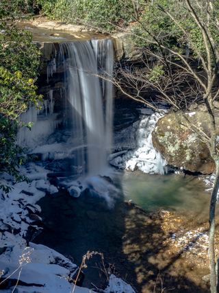 Cucumber FallsState park falls with a stairway from the parking area30 ft (9.1 m) · Fayette County, PA0.5 miSW
- Sugar Run FallsState park trails and the Great Allegheny PassageFayette County, PA2.6 miN
- Cole Run FallsShort walk from a state forest trailhead lot; road not maintained in winterSomerset County, PA13 miNE
- Matador FallsPreston County, WV24 miSW
 Muddy Creek FallsOfficial state park falls on a published loop trail53 ft (16.1 m) · Garrett County, MD26 miS
 Lower Swallow FallsPartial guide: official trail and fees documented; lower drop not named by DNRGarrett County, MD26 miS
 Upper Swallow FallsState park loop trail; summer weekend reservations; no pets in summer16 ft (5 m) · Garrett County, MD26 miS
- Tolliver FallsFalls on a published state park loop trailGarrett County, MD26 miS
- Little Falls30 ft (9 m) · Monongalia County, WV35 miSW