Upper Swallow Falls
Garrett County, Maryland
Your visit at a glance
- Waterfall height
- 16 ft (5 m)
- Location
- Garrett County, Maryland
- Access status
- State park loop trail; summer weekend reservations; no pets in summer
- The walk
- About 0.6 mile to the base going counterclockwise; the full loop is about 1 mile
- Ground & access
- Easy. Boardwalk at the start, then dirt trail along sandstone cliffs, stairs and a spiral wooden staircase.
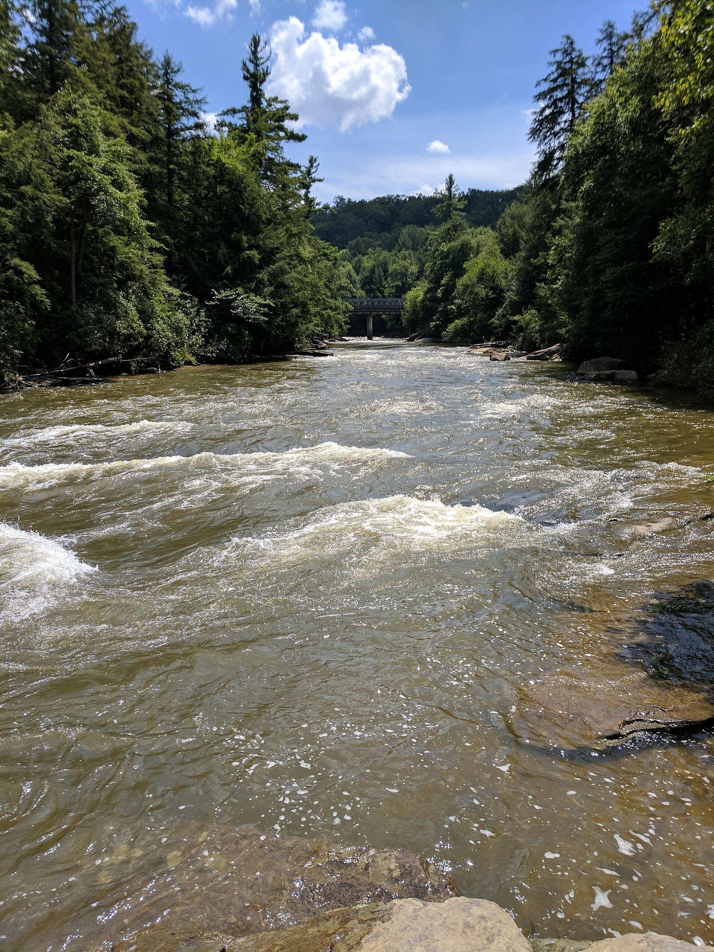
Upper Swallow Falls is a broad drop on the Youghiogheny River in Swallow Falls State Park. The Canyon Trail starts at the main parking area just past the entrance, at a tall entrance sign. Within 50 yards the trail forks; bear left on the boardwalk to Muddy Creek Falls, then follow the river past Lower Swallow Falls. After a spiral wooden staircase, a spur on the left gives a distant view of Upper Swallow Falls. Back on the main trail, stay left at the fork at 0.55 mile and again about 125 yards later to reach the base. Continue past Tolliver Falls to close the loop.
Plan your visit
Main parking area at Swallow Falls State Park via the Canyon Trail past Muddy Creek Falls and Lower Swallow Falls to Upper Swallow Falls
The visitor account calls the Canyon Trail a roughly one-mile circuit and reaches the base of Upper Swallow Falls about 125 yards past the 0.55-mile fork when hiked counterclockwise.
Easy. Boardwalk at the start, then dirt trail along sandstone cliffs, stairs and a spiral wooden staircase.
Where to start
Main parking area just beyond the park entrance on the right. Park GPS address: 2470 Maple Glade Road, Oakland, MD 21550.
Timing & water
Pets are not permitted in the day use area, including the Canyon Trail, from May 23 through September 7, 2026.
Before you go
Day-use reservations are required on weekends and holidays from Memorial Day weekend through Labor Day at parkdayuse.maryland.gov. The current day-use fee amount was not confirmed.
Visitor informationVisit sources
More waterfalls nearby
Within 40 straight-line miles. Road and trail distances will differ.
- Tolliver FallsFalls on a published state park loop trailGarrett County, MD0.1 miSW
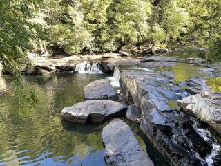 Lower Swallow FallsPartial guide: official trail and fees documented; lower drop not named by DNRGarrett County, MD0.1 miNE
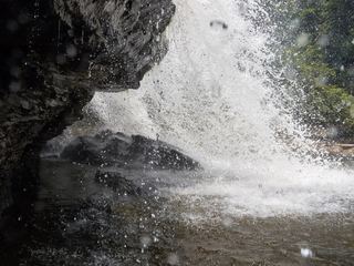 Muddy Creek FallsOfficial state park falls on a published loop trail53 ft (16.1 m) · Garrett County, MD0.4 miN
- Matador FallsPreston County, WV19 miW
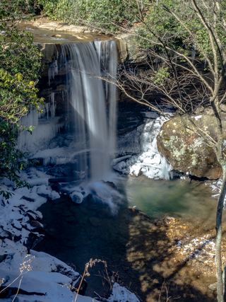 Cucumber FallsState park falls with a stairway from the parking area30 ft (9.1 m) · Fayette County, PA26 miN
- Albert FallsPartial guide: the falls is seen from a rail-trail; the exact viewing spot and the distance from parking are not statedTucker County, WV26 miS
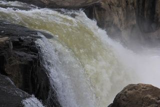 Ohiopyle FallsOfficial day use area overlook beside parking20 ft (6.1 m) · Fayette County, PA26 miN
- Douglas FallsTucker County, WV26 miS
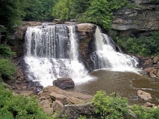 Blackwater FallsRoute and parking documented; confirm current conditions.62 ft (19 m) · Tucker County, WV27 miS