Sugar Run Falls
Fayette County, Pennsylvania
Your visit at a glance
- Waterfall height
- Not recorded
- Location
- Fayette County, Pennsylvania
- Access status
- State park trails and the Great Allegheny Passage
- The walk
- Jonathan Run Trail (DCNR lists it as 1.6 miles, out-and-back), then a few minutes on the GAP and under a minute on the side trail
- Ground & access
- Easy creekside trail with crossings, the flat GAP rail trail, and a short side path. DCNR rates the Eelah Trail beyond the falls very steep.
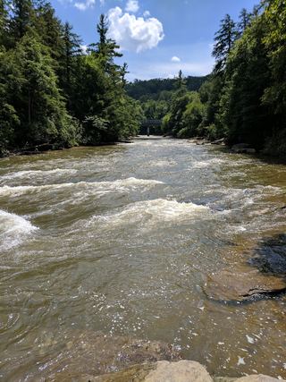
Sugar Run Falls is in Ohiopyle State Park, on the side trail between the Great Allegheny Passage (GAP) and Mitchell Field; DCNR says the Eelah Trail passes it. A separate Lower Sugar Run Falls is just below the GAP bridge over Sugar Run. From the Jonathan Run Trail trailhead on Holland Hill Road, follow the white-medallion trail as it crisscrosses Jonathan Run, past several small waterfalls, to the GAP. Turn left on the GAP and walk a few minutes to a small trail on the left with a marker for Mitchell Field. The falls is less than a minute up this trail. Return the same way. Cyclists can reach the same side trail from the GAP, roughly three miles upstream of the town of Ohiopyle.
Plan your visit
Jonathan Run Trail from Holland Hill Road to the Great Allegheny Passage, left on the GAP, then a short side trail toward Mitchell Field to Sugar Run Falls
DCNR lists the Jonathan Run Trail as 1.6 miles, out-and-back. Uncovering PA says to walk a few minutes left on the Great Allegheny Passage, then less than a minute up the side trail to the falls. No single total distance is given.
Easy creekside trail with crossings, the flat GAP rail trail, and a short side path. DCNR rates the Eelah Trail beyond the falls very steep.
Where to start
Jonathan Run Trail trailhead on Holland Hill Road in Ohiopyle State Park.
Timing & water
No seasonal closure is mentioned. Uncovering PA says the falls is best when water levels are above normal.
Before you go
No fee is mentioned.
Visitor informationVisit sources
- Pennsylvania DCNR: Hiking at Ohiopyle State Park
- Pennsylvania DCNR: Hiking at Ohiopyle State Park
- Uncovering PA: The Waterfalls of Ohiopyle State Park
- Uncovering PA: The Waterfalls of Ohiopyle State Park
- Uncovering PA: The Waterfalls of Ohiopyle State Park
- PA Bucket List: 24 Must-See Waterfalls in the PA Laurel Highlands
- Mapcarta: Sugar Run Falls
More waterfalls nearby
Within 40 straight-line miles. Road and trail distances will differ.
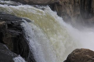 Ohiopyle FallsOfficial day use area overlook beside parking20 ft (6.1 m) · Fayette County, PA2.6 miS
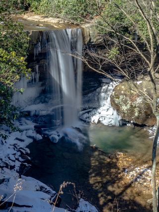 Cucumber FallsState park falls with a stairway from the parking area30 ft (9.1 m) · Fayette County, PA3.0 miS
- Cole Run FallsShort walk from a state forest trailhead lot; road not maintained in winterSomerset County, PA12 miNE
- Matador FallsPreston County, WV26 miSW
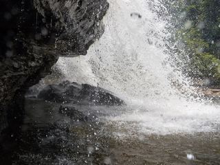 Muddy Creek FallsOfficial state park falls on a published loop trail53 ft (16.1 m) · Garrett County, MD28 miS
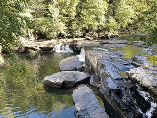 Lower Swallow FallsPartial guide: official trail and fees documented; lower drop not named by DNRGarrett County, MD29 miS
 Upper Swallow FallsState park loop trail; summer weekend reservations; no pets in summer16 ft (5 m) · Garrett County, MD29 miS
- Tolliver FallsFalls on a published state park loop trailGarrett County, MD29 miS
- Little Falls30 ft (9 m) · Monongalia County, WV36 miSW