High Falls of Cheat
Pocahontas County, West Virginia
Your visit at a glance
- Waterfall height
- Not recorded
- Location
- Pocahontas County, West Virginia
- Access status
- Long trail over Shavers Mountain and a walk beside railroad tracks to the falls
- The walk
- 7.8 miles round trip (Hiking the Appalachians and Beyond)
- Ground & access
- Switchbacking climb over Shavers Mountain, a steeper descent on the west side, then a flat walk beside railroad tracks that are active in summer.
High Falls of Cheat is a horseshoe-shaped falls about 20 feet high and 100 feet wide on Shavers Fork of the Cheat River in Randolph County, upstream of Bemis. The High Falls Trail starts at a large wooden sign on the west side of FR 44, crosses West Fork Glady Fork on a footbridge, meets the West Fork Rail Trail, and climbs Shavers Mountain together with the Allegheny Trail. Where the Allegheny Trail turns left, continue straight on the High Falls Trail. Later turn right onto an old roadbed, then left onto a steeper descent; this turn is easy to miss. The trail reaches the railroad tracks in the gorge. Walk alongside the tracks, not on them, to the small trackside depot at the falls, where a boardwalk and stairs lead to the top and base of the falls. Return the same way and watch for trains.
Updated map record
High Falls of Cheat is on Shavers Fork of the Cheat River in Randolph County, upstream of Bemis. Its map location comes from the USGS place name record for High Falls.
Plan your visit
High Falls Trail from FR 44 near Glady, over Shavers Mountain to the railroad tracks along Shavers Fork, then alongside the tracks to the falls
Hiking the Appalachians and Beyond gives 7.8 miles round trip with 1,542 feet of elevation gain on the High Falls Trail out and back, reaching the falls at 3.85 miles.
Switchbacking climb over Shavers Mountain, a steeper descent on the west side, then a flat walk beside railroad tracks that are active in summer.
Where to start
Wide spots along the shoulder of FR 44 near the High Falls trailhead hold roughly 6 to 8 vehicles; the best pullout is about 75 yards before the trailhead. From Glady, take Bemis Road and then Beulah Road, which becomes FR 44; the trailhead is 1.0 mile along FR 44 on the right.
Timing & water
FR 44 does not appear to be maintained in winter. Trains run on the tracks in summer.
Before you go
Hiking the Appalachians and Beyond lists no fees.
Visitor informationVisit sources
- Hiking the Appalachians and Beyond: High Falls of Cheat
- Hiking the Appalachians and Beyond: High Falls of Cheat
- Hiking the Appalachians and Beyond: High Falls of Cheat
- Hiking the Appalachians and Beyond: High Falls of Cheat
- Hiking the Appalachians and Beyond: High Falls of Cheat
- Hiking the Appalachians and Beyond: High Falls of Cheat
- TopoQuest: High Falls, WV
More waterfalls nearby
Within 40 straight-line miles. Road and trail distances will differ.
- High FallsSource-reviewed trail and parking20 ft (6 m) · Randolph County, WV0.0 miSW
- Upper Falls of Seneca CreekNational forest trail to the falls; creek crossings without footbridges; access road not maintained in winterPendleton County, WV14 miE
- Small waterfallPendleton County, WV15 miE
- Falls of SenecaPendleton County, WV16 miE
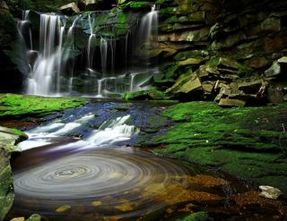 Elakala FallsShort state park trail to a bridge over the first fallsTucker County, WV28 miNE
- Douglas FallsTucker County, WV28 miNE
- Albert FallsPartial guide: the falls is seen from a rail-trail; the exact viewing spot and the distance from parking are not statedTucker County, WV28 miNE
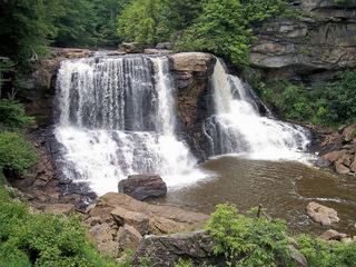 Blackwater FallsRoute and parking documented; confirm current conditions.62 ft (19 m) · Tucker County, WV28 miNE
- Tenskwatawa FallsPartial guide: state park trail; start point, parking and distance to the falls not statedWebster County, WV31 miW