High Falls
Randolph County, West Virginia
Your visit at a glance
- Waterfall height
- 20 ft (6 m)
- Location
- Randolph County, West Virginia
- Access status
- Source-reviewed trail and parking
- The walk
- 8 miles out and back
- Ground & access
- Challenging backcountry hike with steady grades through forest.
The Allegheny Trail organization describes an 8-mile out-and-back from High Falls trailhead. Follow the Allegheny Trail to the West Fork/High Falls junction at trail mile 145.6, continue over Cheat Mountain to mile 146.9, then follow blue blazes downhill to High Falls.
Plan your visit
High Falls of Cheat Trail from Forest Road 44
Use the trail organization’s explicit 8-mile out-and-back distance. County tourism’s 7-mile figure has an unclear basis.
Challenging backcountry hike with steady grades through forest.
Where to start
Trailhead parking on Forest Service Route 44, four miles south of Glady, explicitly identified by the trail organization.
Timing & water
Current access and seasonal conditions require confirmation with the land manager.
Before you go
Unknown: current fees or reservation requirements were not established in the reviewed source.
Visitor informationVisit sources
More waterfalls nearby
Within 40 straight-line miles. Road and trail distances will differ.
- High Falls of CheatLong trail over Shavers Mountain and a walk beside railroad tracks to the fallsPocahontas County, WV0.0 miNE
- Upper Falls of Seneca CreekNational forest trail to the falls; creek crossings without footbridges; access road not maintained in winterPendleton County, WV15 miE
- Small waterfallPendleton County, WV15 miE
- Falls of SenecaPendleton County, WV16 miE
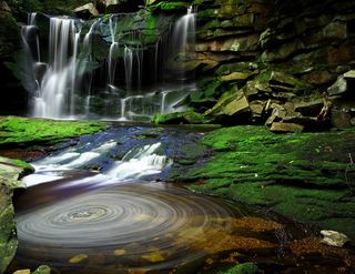 Elakala FallsShort state park trail to a bridge over the first fallsTucker County, WV28 miNE
- Douglas FallsTucker County, WV28 miNE
- Albert FallsPartial guide: the falls is seen from a rail-trail; the exact viewing spot and the distance from parking are not statedTucker County, WV28 miNE
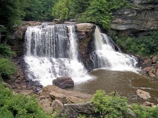 Blackwater FallsRoute and parking documented; confirm current conditions.62 ft (19 m) · Tucker County, WV28 miNE
- Tenskwatawa FallsPartial guide: state park trail; start point, parking and distance to the falls not statedWebster County, WV31 miW