Compare 14 West Virginia waterfall visits by the approach, terrain, and where to start. Some routes have closures or unresolved details; read the individual guide before travelling.
14 visit options
Route and parking documented; confirm current conditions.
The Elakala Trail is 0.5 mile one way (park trail map); the bridge over the first falls is part way along it, distance not stated
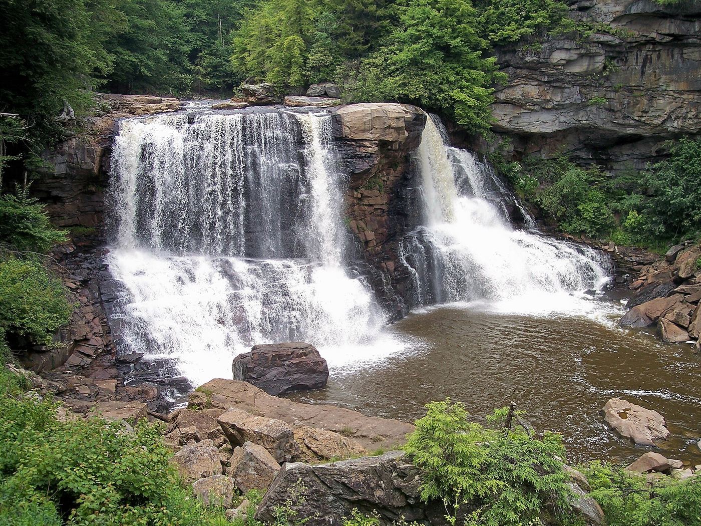
Elakala Falls is a series of four falls where Shays Run drops into Blackwater Canyon in Blackwater Falls State Park near Davis. The trail visits the first and most easily seen drop. From the south-west side of Blackwater Lodge, follow the red-blazed Elakala Trail down to the wooden bridge that crosses directly over the first falls. The three lower falls are progressively more difficult and dangerous to reach and have no marked trails. The whole series can be seen from across the gorge at Pendleton Point. Return the same way, or continue on the Elakala Trail to the main park road.
0.2 mile one way on the boardwalk trail (NPS trail listing); the NPS trail description says the boardwalk is 0.25 mile
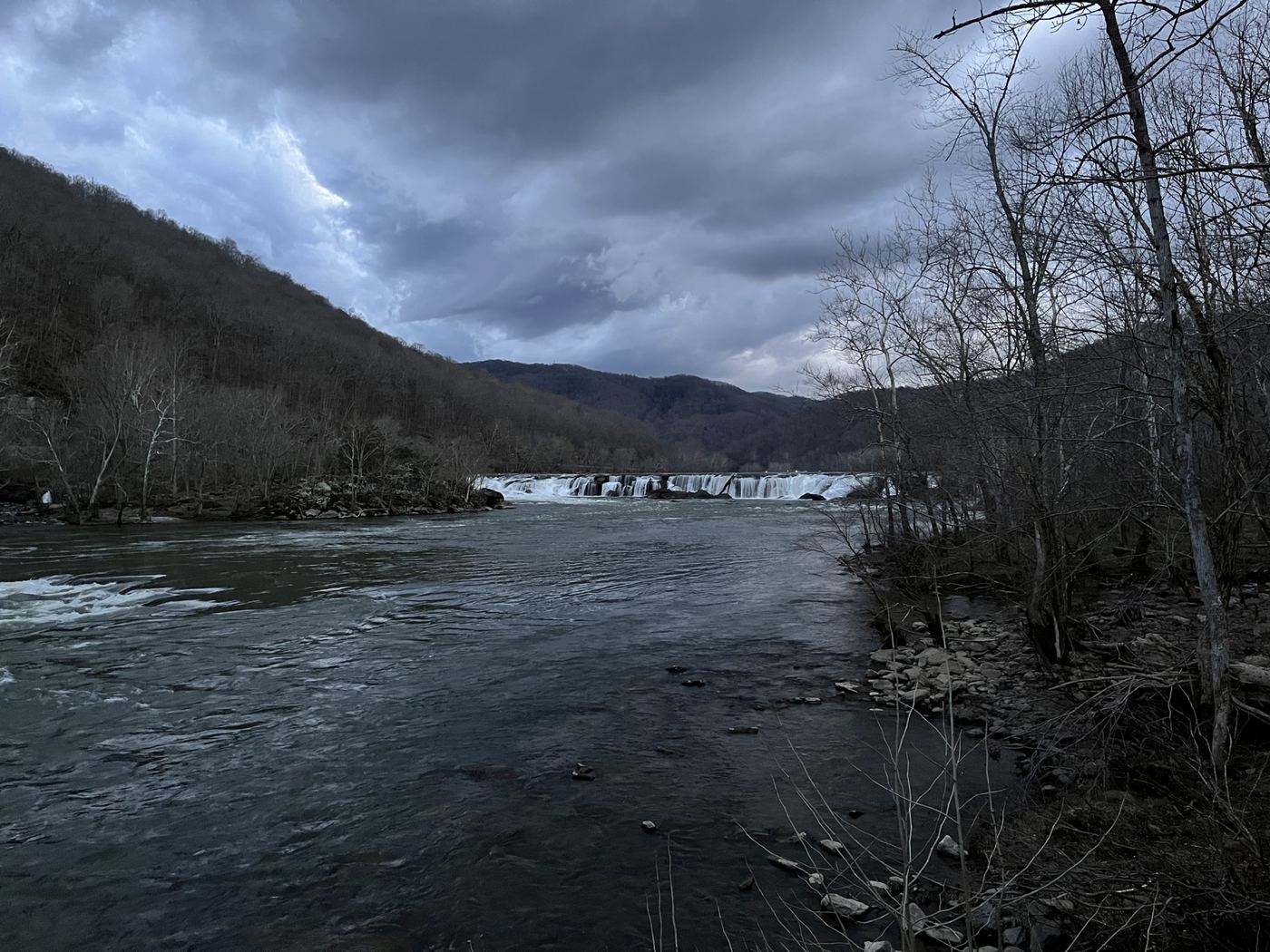
Sandstone Falls is the largest waterfall on the New River, spanning about 1,500 feet across. Islands divide it into parts that drop 10 to 25 feet. From the west end of the WV Route 20 bridge in Hinton, follow narrow River Road (WV Route 26) downstream along the river to Sandstone Falls; the unpaved parking area is on the right. The accessible boardwalk crosses a short bridge onto the first island, with a view of the lower falls, then a second bridge onto a low island with views of the main falls and observation decks. Return the same way. An aerial view is also available from the Sandstone Falls Overlook on Route 20, 600 feet above the river.
About a mile past the coke ovens per TrailLink; total distance from parking not stated
Albert Falls is one of a series of waterfalls on the North Fork of the Blackwater River in the canyon below Thomas. The Blackwater Canyon Trail, a former railroad grade, begins in Thomas just north of the North Fork dam near US 48 and US 219. Head down the canyon past the remains of the beehive coke ovens just south of Thomas. TrailLink says Albert Falls is one of the first falls seen from the trail, about a mile past the coke ovens; Douglas Falls is about half a mile farther. The sources do not describe a separate viewpoint for Albert Falls. Return the same way.
About a third of a mile from the trailhead (West Virginia Tourism)
The Grotto is a small seasonal waterfall in Coonskin Park, a Kanawha County park just outside Charleston. Short cascades spill into a shallow cave under a sandstone overhang. Go past the stone monument at the trailhead, turn left on the Alice Knight Memorial Trail and follow the red blazes for about a third of a mile to The Grotto. The trail is rocky and narrow in places. Return the same way. The falls are best after a good rain and can be dry at other times. Where the trailhead and its parking are inside the park is not described.
The Allegheny Trail organization describes an 8-mile out-and-back from High Falls trailhead. Follow the Allegheny Trail to the West Fork/High Falls junction at trail mile 145.6, continue over Cheat Mountain to mile 146.9, then follow blue blazes downhill to High Falls.
7.8 miles round trip (Hiking the Appalachians and Beyond)
High Falls of Cheat is a horseshoe-shaped falls about 20 feet high and 100 feet wide on Shavers Fork of the Cheat River in Randolph County, upstream of Bemis. The High Falls Trail starts at a large wooden sign on the west side of FR 44, crosses West Fork Glady Fork on a footbridge, meets the West Fork Rail Trail, and climbs Shavers Mountain together with the Allegheny Trail. Where the Allegheny Trail turns left, continue straight on the High Falls Trail. Later turn right onto an old roadbed, then left onto a steeper descent; this turn is easy to miss. The trail reaches the railroad tracks in the gorge. Walk alongside the tracks, not on them, to the small trackside depot at the falls, where a boardwalk and stairs lead to the top and base of the falls. Return the same way and watch for trains.
The lower falls of Hills Creek drop 63 feet in the Falls of Hills Creek Scenic Area of the Monongahela National Forest; the Forest Service calls it the second highest waterfall in West Virginia. The first 1,700 feet of trail is paved and wheelchair accessible to the upper falls viewing platform. The rest of the trail is more strenuous, with stairways and boardwalks, passing the middle falls and ending at a viewing platform in front of the lower falls. Return the same way.
Distance to the Middle Falls is not stated; Mon Forest Towns describes a 1.4-mile trail to all three falls
The Middle Falls of Hills Creek drops about 45 feet and is the second of three waterfalls on Hills Creek in the Falls of Hills Creek Scenic Area of the Monongahela National Forest. From the parking area, the first part of the trail is paved and leads to an accessible platform at the 25-foot Upper Falls. Beyond that, the trail continues on boardwalks and many stairs down into the gorge, passing the Middle Falls on the way to the observation platform at the 63-foot Lower Falls. Return the same way; the climb back to the parking area is several hundred stairs.
Reverie Trail is 3.5 miles from the campground entrance to Pickens Road (WV State Parks); the distance to the falls is not stated
Tecumseh Falls is on the Reverie Trail in Holly River State Park, near Hacker Valley. The trail starts at the campground entrance, follows Big Run to Dreamer’s Meadow, climbs a mountain and passes under Tecumseh Falls on the way to a primitive campsite. Return the same way, or continue as the trail descends to Pickens Road, then turn right and walk 1 mile on the road back to the start.
Distance to the falls is not stated; the Potato Knob Trail is 7.5 miles one way
Tenskwatawa Falls is in Holly River State Park, which lists it among its popular waterfall hikes. The park says the Potato Knob Trail branches off the Wilderness Trail, follows a ridge to Ridge Road and joins the road for a half mile. A short side trail on Ridge Road offers a view of Tenskwatawa Falls. The park does not say where to start for the shortest walk to the falls; use the park trail map or ask the park office.
The first 1,700 feet of trail is paved and reaches the upper falls viewing platform (Forest Service); Virginia Trail Guide gives 0.3 mile to the first overlook of the Upper Falls
The Upper Falls of Hills Creek is the first and smallest, at 25 feet, of three falls in the Falls of Hills Creek Scenic Area in the Monongahela National Forest, on WV 39/55 between Richwood and Marlinton. From Mill Point, head west on WV 39/55; after about 12 miles a sign for the scenic area on the left leads to the parking lot. The trail leaves from the parking lot on a paved, wheelchair-accessible path that descends to the upper falls viewing platform. Beyond it, the trail continues on gravel, boardwalk and many stairs to the 45-foot middle falls and the 63-foot lower falls. Return the same way.
5 miles each way per TrailLink; Mon Forest Towns lists a 10.1-mile out-and-back route
Upper Seneca Creek Falls is a 30-foot falls, the highest on Seneca Creek, at the end of the Seneca Creek Trail in the Monongahela National Forest. From the trailhead on Forest Road 112, the trail follows a former logging railroad grade down along Seneca Creek, first through meadows and spruce groves, then hardwood forest. It is mostly gentle, with a high point of 3,875 feet and a low point of 3,128 feet. There are several creek crossings with no footbridges; the last one brings you to the falls. Smaller waterfalls are passed along the way. Return the same way, or make a longer loop on other trails of the Spruce Knob-Seneca Creek backcountry.