Bee Branch Falls
Henderson County, North Carolina
Your visit at a glance
- Waterfall height
- Not recorded
- Location
- Henderson County, North Carolina
- Access status
- National forest trail plus a short off-trail section
- The walk
- About 2.3 miles one way from the Parkway; about 4.3 miles one way from Trace Ridge Trailhead
- Ground & access
- Steep trail with many switchbacks from the Parkway; creek crossings from below; the last 0.2 mile is an off-trail scramble. Rated difficult by NC Waterfalls.
Upper start: Big Creek Trail begins at the south end of Little Pisgah Ridge Tunnel, Blue Ridge Parkway milepost 406.9, about 1.7 miles north of Mount Pisgah Inn. It descends steeply about 2.1 miles to the Bee Branch crossing. Lower start: from Trace Ridge Trailhead off FS 142, hike gated FS 142 1.6 miles to Hendersonville Reservoir, then Big Creek Trail about 2.5 miles with four creek crossings. From the Bee Branch crossing, follow Bee Branch upstream on the left bank as you face downstream about 0.2 mile, first on an old logging grade and then off trail, to the lower section of the falls. Seeing the upper sections needs a harder, steep bushwhack.
Plan your visit
Big Creek Trail from the Blue Ridge Parkway at Little Pisgah Ridge Tunnel (or from Trace Ridge Trailhead) to the Bee Branch crossing, then about 0.2 mile up Bee Branch off trail
NC Waterfalls gives approximately 2.3 miles from the Blue Ridge Parkway trailhead and 4.3 miles from the Pisgah National Forest trailhead. The Parkway route loses about 1,900 feet to the Bee Branch crossing, which you climb back on the return.
Steep trail with many switchbacks from the Parkway; creek crossings from below; the last 0.2 mile is an off-trail scramble. Rated difficult by NC Waterfalls.
Where to start
Blue Ridge Parkway trailhead at the south end of Little Pisgah Ridge Tunnel (MP 406.9), or Trace Ridge Trailhead at the end of FS 142 off FS 5000 near North Mills River Recreation Area.
Timing & water
Blue Ridge Parkway sections close in winter weather; creek crossings are harder at high water.
Before you go
No fee is mentioned in the source read.
Visitor informationVisit sources
More waterfalls nearby
Within 40 straight-line miles. Road and trail distances will differ.
- Bradley Creek FallsPartial guide: the last stretch is off trail with no marked path, and road access to the trailhead may be closedTransylvania County, NC2.3 miSW
- Slate Rock Creek FallsPartial guide: road to the trailhead listed as closed after Hurricane HeleneHenderson County, NC2.3 miSE
- Lower Thompson Ridge FallsTransylvania County, NC2.6 miSW
- Johnny Tiller FallsHenderson County, NC2.6 miSE
- Upper Thompson Ridge FallsTransylvania County, NC2.6 miSW
- Billy Branch FallsGated forest road and riverside trail; unmarked side path at the endTransylvania County, NC4.5 miS
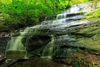 Little Barnett Branch Trail FallsPartial: maintained trail; the sources do not name this upper fallsTransylvania County, NC4.6 miSW
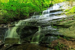 Barnett Branch Trail FallsShort national forest trail walk to fallsTransylvania County, NC4.7 miSW
- Cradle FallsTransylvania County, NC4.8 miSW