Bradley Creek Falls
Transylvania County, North Carolina
Your visit at a glance
- Waterfall height
- Not recorded
- Location
- Transylvania County, North Carolina
- Access status
- Partial guide: the last stretch is off trail with no marked path, and road access to the trailhead may be closed
- The walk
- About 1.6 miles return
- Ground & access
- Footbridge, old road, then pathless woods. The author warns you could get lost on the way back and advises marking the end of the road on a GPS.
From the Pilot Rock Trail parking on Yellow Gap Road (FS 1206), start on the Pilot Rock Trail, bear right past a campsite and cross the footbridge over Bradley Creek. In less than 0.2 miles, at the junction, leave the Pilot Rock Trail and bear left onto the wider old logging road, which narrows to a path through shrubs. At just under 0.5 miles it reaches a tributary with the remains of a log bridge. The road ends here; mark the spot, then continue through the woods, crossing another tributary, to the steep ground where the 20 to 25 foot falls slides down a rock face. Return the same way.
Plan your visit
Pilot Rock Trail and an old logging road off Yellow Gap Road, then off trail to Bradley Creek Falls
The March 2017 account gives about 0.8 miles one way. Add about 1.4 miles return if you must walk Yellow Gap Road from the Wolf Ford Horse Camp.
Footbridge, old road, then pathless woods. The author warns you could get lost on the way back and advises marking the end of the road on a GPS.
Where to start
Small pull-in on the right of Yellow Gap Road (FS 1206) about 4 miles from US 276, opposite the Pilot Rock Trail; the Forest Service says parking for one or two cars with another small space nearby. The Forest Service lists Yellow Gap Road as open only from US 276 to the Wolf Ford Horse Camp, which is about 0.7 miles short of this trailhead, so you may have to walk the last stretch of road.
Timing & water
No seasonal closure is stated. Road access beyond the Wolf Ford Horse Camp is listed as closed after Hurricane Helene; check the Forest Service Helene page before going.
Before you go
National forest trail; no fee is stated by the sources.
Visitor informationVisit sources
More waterfalls nearby
Within 40 straight-line miles. Road and trail distances will differ.
- Lower Thompson Ridge FallsTransylvania County, NC0.5 miW
- Upper Thompson Ridge FallsTransylvania County, NC0.5 miW
- Bee Branch FallsNational forest trail plus a short off-trail sectionHenderson County, NC2.3 miNE
- Billy Branch FallsGated forest road and riverside trail; unmarked side path at the endTransylvania County, NC2.4 miS
- Slate Rock Creek FallsPartial guide: road to the trailhead listed as closed after Hurricane HeleneHenderson County, NC2.5 miE
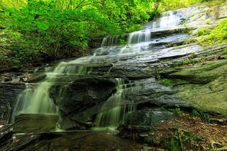 Little Barnett Branch Trail FallsPartial: maintained trail; the sources do not name this upper fallsTransylvania County, NC2.5 miSW
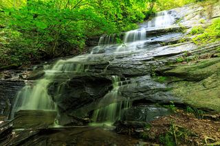 Barnett Branch Trail FallsShort national forest trail walk to fallsTransylvania County, NC2.5 miSW
- Johnny Tiller FallsHenderson County, NC2.7 miE
- Cradle FallsTransylvania County, NC2.8 miSW