Little Bearwallow Falls
Buncombe County, North Carolina
Your visit at a glance
- Waterfall height
- Not recorded
- Location
- Buncombe County, North Carolina
- Access status
- Partial guide: usual trailhead closed after Helene; long alternative with restricted road access
- The walk
- About 10 miles return from the Bearwallow Mountain trailhead; 2 miles return from the closed Wildcat Rock trailhead
- Ground & access
- Moderate to very strenuous. Coming from Bearwallow Mountain means a long descent with rock stairs and a climb back. The falls may be dry in summer. Hiking only; dogs leashed.
Conserving Carolina says the Wildcat Rock trailhead on Gerton Highway is closed after Hurricane Helene because of restricted roads. Its alternative is to hike the one-mile trail from the Bearwallow Mountain trailhead to the summit, then follow the Wildcat Rock Trail down from the pasture as an out-and-back to the 100-foot falls. When the lower trailhead reopens, the falls is about 1 mile up from US 74A through an orchard on a trail easement, with more than 100 log stairs.
Plan your visit
Wildcat Rock Trail to Little Bearwallow Falls (trailhead on US 74A closed; reached from Bearwallow Mountain)
Conserving Carolina gives 1 mile from the Wildcat Rock trailhead to the falls and 6 miles for the full trail between the two trailheads, so the falls is about 5 miles from the Bearwallow Mountain trailhead.
Moderate to very strenuous. Coming from Bearwallow Mountain means a long descent with rock stairs and a climb back. The falls may be dry in summer. Hiking only; dogs leashed.
Where to start
Conserving Carolina says not to drive through Gerton to reach the Bearwallow Mountain trailhead because Bearwallow Mountain Road is still restricted. The reviewed sources do not give another driving route to that trailhead. Park in designated areas only; vehicles elsewhere are towed.
Timing & water
Trail open dawn to dusk. Best after rain; frozen in winter. Lower trailhead closed after Helene.
Before you go
Current fees and reservation requirements unknown.
Visitor informationVisit sources
- Conserving Carolina: Wildcat Rock Trail (Little Bearwallow Falls)
- Conserving Carolina: Wildcat Rock Trail (Little Bearwallow Falls)
- Conserving Carolina: Wildcat Rock Trail (Little Bearwallow Falls)
- Conserving Carolina: Wildcat Rock Trail (Little Bearwallow Falls)
- Take a Hike: North Carolina waterfalls E to L
More waterfalls nearby
Within 40 straight-line miles. Road and trail distances will differ.
- Bead and Lace FallsHenderson County, NC1.4 miS
- Tom's FallsBuncombe County, NC2.2 miNE
- Camp Minnehaha FallsBuncombe County, NC3.1 miE
- Puncheon Camp Creek FallsHenderson County, NC3.6 miSW
- Broad River FallsBuncombe County, NC3.7 miE
- Silver FallsRutherford County, NC4.7 miSE
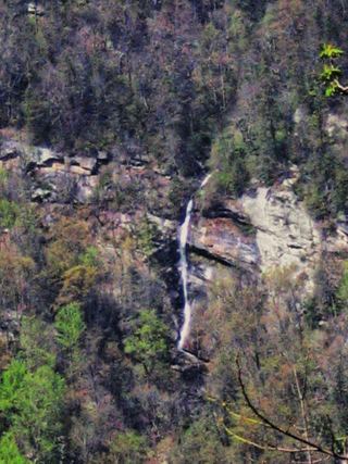 Rainbow FallsDistant view only from Inspiration Point; admission fee; falls not open to the publicRutherford County, NC4.9 miE
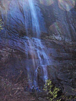 Hickory Nut FallsState park trail with admission fee; official trail descriptionRutherford County, NC5.1 miSE
- Wolf Creek FallsRutherford County, NC5.6 miSE