Graybeard Falls
Buncombe County, North Carolina
Your visit at a glance
- Waterfall height
- Not recorded
- Location
- Buncombe County, North Carolina
- Access status
- Private conservation land open to hikers; blazed trail
- The walk
- About 2.8 miles each way
- Ground & access
- Moderate trail with three creek crossings that can be tricky in high water.
Drive NC 9 north from I-40 Exit 64 into Montreat, where the road becomes Assembly Drive. Just past Assembly Inn and Lake Susan, bear left on Graybeard Trail (the road) and follow it 0.8 miles to the small trailhead on the right. The blue-blazed Graybeard Trail crosses Flat Creek on a footbridge and follows the creek up, crossing it three times. At about 2.8 miles the trail reaches a switchback at a T-junction near the creek. Go straight about 200 feet on the level grade to the falls, a 15 to 21 foot slide on Flat Creek that was a stop on the Mount Mitchell Railroad. The upper approach from the Blue Ridge Parkway is longer and that section of the Parkway was closed after Tropical Storm Helene.
Plan your visit
Graybeard Trail parking in Montreat to Graybeard Falls
NC Waterfalls gives approximately 2.8 miles one way from the Montreat trailhead. Waterfall Hero gives 5.6 miles round trip.
Moderate trail with three creek crossings that can be tricky in high water.
Where to start
Very limited parking at the Graybeard trailhead on Graybeard Trail road, 0.8 miles from Assembly Drive. Arrive early on weekends. Published trailhead coordinates: 35.659524, -82.296043.
Timing & water
Check the Montreat trail map for closures. The Blue Ridge Parkway trailhead was closed by storm damage when the source was written.
Before you go
Montreat Wilderness is private land owned by Montreat Conference Center and open to the public as a hike-at-your-own-risk facility. No fee is stated. Dogs on a leash.
Visitor informationVisit sources
More waterfalls nearby
Within 40 straight-line miles. Road and trail distances will differ.
- Slick FallsMcDowell County, NC4.6 miE
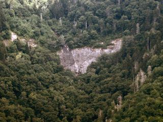 Glassmine FallsOverlook approach verified; no public access to the waterfallBuncombe County, NC4.9 miNW
- Lower Catawaba FallsNational forest trail; view from the trail onlyMcDowell County, NC5.3 miSE
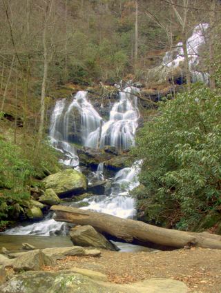 Catawba FallsLoop open; upper platform and Wildflower Trail closedMcDowell County, NC5.4 miSE
- Licklog Branch FallsMcDowell County, NC5.5 miNE
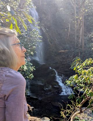 Upper Catawba FallsPartial: loop trail open; the Forest Service lists the upper viewing platform as closedMcDowell County, NC5.5 miSE
- Cascades FallsBuncombe County, NC5.5 miNW
- Hickory Branch FallsMcDowell County, NC5.6 miE
- Davids FallsNational forest trail; river crossings on the spurMcDowell County, NC5.6 miS